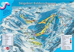
Balderschwang Balderschwang Ski Trail Map
Trail map from Balderschwang.
133 miles away
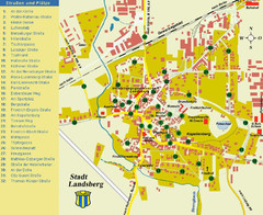
Landsberg Tourist Map
tourist map of town of Landsberg
133 miles away
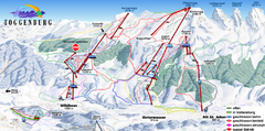
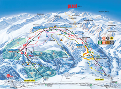
Toggenburg Ski Trail Map
Trail map from Toggenburg.
134 miles away
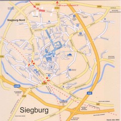
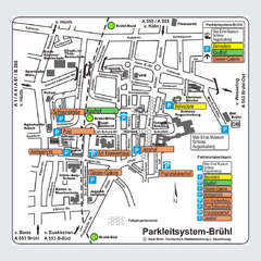
Siegburg Map
Street map of town of Siegburg
135 miles away
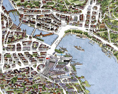
Lucerne Tourist Map
Tourist map of central Lucerne, Switzerland. 3D view showing buildings.
135 miles away
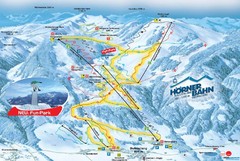
Bolsterlang Ski Trail Map
Trail map from Bolsterlang.
136 miles away
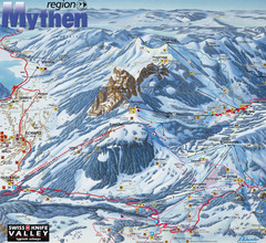
Brunni-Alpthal Ski Trail Map
Trail map from Brunni-Alpthal.
137 miles away
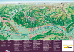
Liechtenstein Tourist Map
Tourist map of the country of Liechtenstein. Panoramic view shows all towns, trails, and mountains.
138 miles away
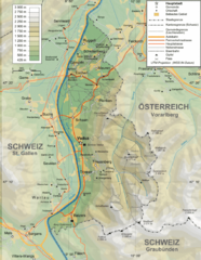
Liechtenstein topography Map
138 miles away
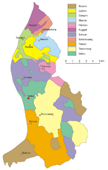
Liechtenstein Tourist Map
138 miles away
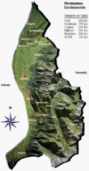
Liechtenstein Tourist Map
138 miles away
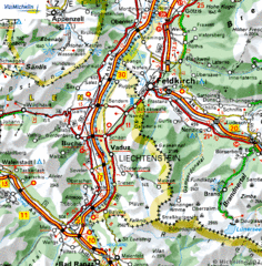
Liechtenstein road Map
138 miles away
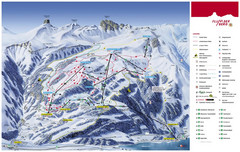
Flumserberg Ski Trail Map
Trail map from Flumserberg.
139 miles away
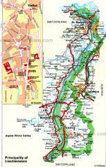
Liechtenstein Principality Map
139 miles away
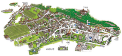
Vaduz Town Map
Tourist map of town of Vaduz, Liechtenstein. Panoramic view shows buildings and streets.
139 miles away
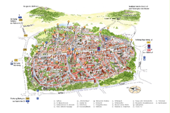
Neumarkt in der Oberpfalz Map
Tourist map of city center of Neumarkt in der Oberpfalz, Germany. In German
139 miles away
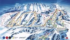
Oberjoch-Unterjoch Ski Trail Map
Trail map from Oberjoch.
140 miles away
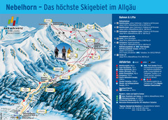
Oberstdorf Ski Trail Map
Trail map from Oberstdorf.
140 miles away
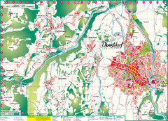
Oberstdorf City Map
City map of Oberstdorf, Germany and surrounding area. Shows buildings and ski lifts. In German.
140 miles away
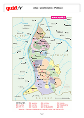
Liechtenstein Regional Map
Country map with detail of regional divides
141 miles away
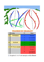
Brabant Ski Trail Map
Trail map from Brabant.
141 miles away
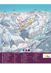
Malbun Ski Trail Map
Ski trail map of area surrounding Malbun, Liechtenstein. Also shows walking routes.
143 miles away
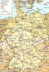
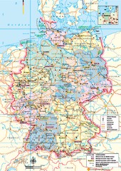
Germany Map
Map of Germany showing roads, railways and cities.
144 miles away
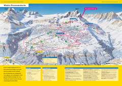
Braunwald Ski Trail Map
Trail map from Braunwald.
146 miles away
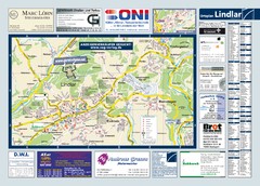
Lindlar Tourist Map
Tourist map of Lindlar and surrounding region
146 miles away
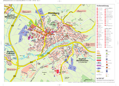
Homberg (Efze) Tourist Map
Tourist street map of Homberg
147 miles away
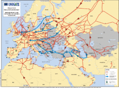
Europe Proposed Natural Gas Pipelines Map
The priority axes for natural gas pipelines, which involve INOGATE Participating Countries and...
147 miles away
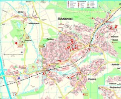
Rödental Map
Street map of city of Rödental
147 miles away
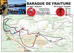
Baraque de Fraiture and Nordic Ski Trail Map
Trail map from Baraque de Fraiture.
147 miles away
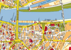
Cologne Center Map
Street map of city center of Cologne
148 miles away
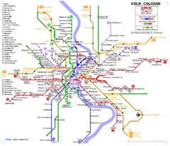
Köln metro Map
148 miles away
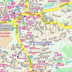
Bergisch Gladbach Map
City street map of Bergisch Gladbach
148 miles away
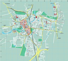
Dachau City Map
City street map of Dachau
148 miles away
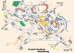
Bergisch Gladbach Tourist Map
Tourist map of Bergisch Gladbach
148 miles away
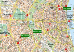
Cologne Map
Street map of Cologne, Germany. In German.
148 miles away
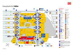
Köln HBf Map
149 miles away
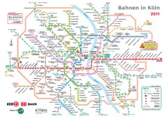
Köln, Nahverkehr Map
149 miles away

