Berlin Tourist Map
327 miles away
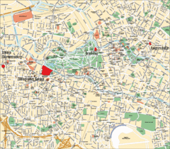
Berlin Tourist Map
327 miles away
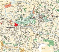
Berlin Tourist Map
Landmarks, neighborhoods and areas of Berlin
327 miles away
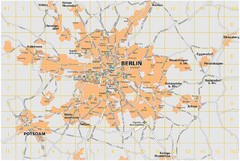
Berlin City Map
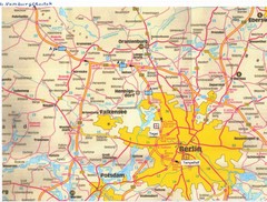
City map of Berlin Metropolitan area
327 miles away
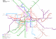
Berlin Rapid Transit Map
327 miles away
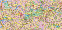
Berlin Center Map
327 miles away
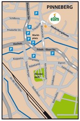
Pinneberg Center Map
Map of Pinneberg town center
327 miles away
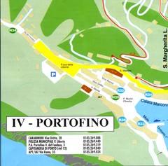
Portofino Map
328 miles away
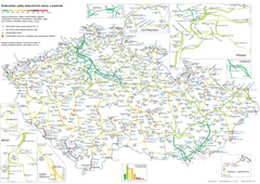
Elevation Railway Map of Czech Republic
Elevation of railways and main stations in Czech republic. Blue numbers show elevation of stations...
328 miles away
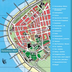
Norderney Tourist Map
Tourist street map of Norderney
329 miles away
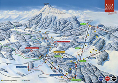
Annaberg Ski Trail Map
Trail map from Annaberg.
329 miles away
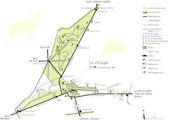
Chateau Chambord Estate Map
Estate map of the famous Chateau Chambord. Largest Chateau in the Loire River Valley.
331 miles away
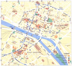
Rouen Map
331 miles away
Super Sauze Ski Trail Map
Trail map from Super Sauze.
332 miles away
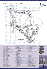
Super Sauze Ski Trail Map
Trail map from Super Sauze.
332 miles away
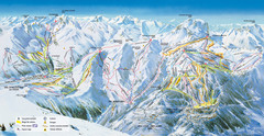
Pra Loup Ski Trail Map
Trail map from Pra Loup.
332 miles away
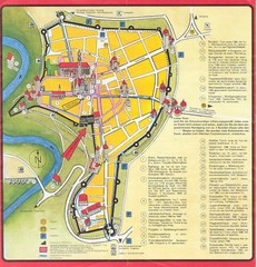
Rothenburg Tourist Map
Tourist map of town of Rothenburg
332 miles away
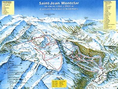
Saint-Jean Montclar Ski Trail Map
Trail map from Saint-Jean Montclar.
333 miles away
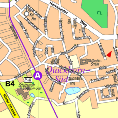
Quickborn Center Map
Street map of Quickborn town center
333 miles away
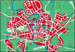
Otterndorf Map
Street map of Otterndorf
333 miles away
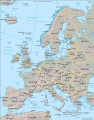
Europe Physical Map
334 miles away
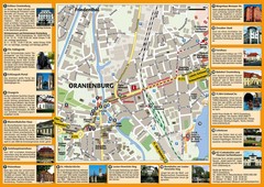
Oranienburg Tourist Map
Tourist street map of Oranienburg
334 miles away
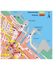
Cuxhaven Center Tourist Map
Tourist map of Cuxhaven center
336 miles away
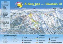
Chabanon Ski Trail Map
Trail map from Chabanon.
338 miles away
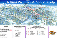
Le Grand Puy Ski Trail Map
Trail map from Le Grand Puy.
338 miles away
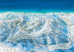
Auron Saint-Etienne-de-Tinée Ski Trail Map
Trail map from Auron Saint-Etienne-de-Tinée.
338 miles away
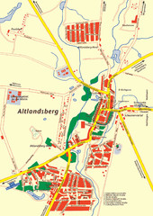
Altlandsberg Map
Map of town of Altlandsberg
339 miles away
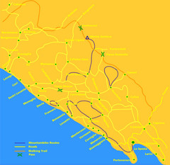
Cinque Terre Mountain Biking Trail Map
Mountain biking trail map of routes near Levanto and the Cinque Terre, Italy. Shows trails, roads...
339 miles away
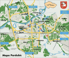
Pardubice Tourist Map
Tourist map of Pardubice, Czech Republic
339 miles away
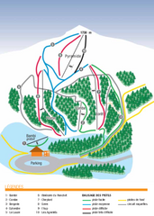
Valdrôme Ski Trail Map
Trail map from Valdrôme.
339 miles away
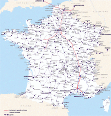
Map of SNCF National Railway Network in France
A SNCF map (Société Nationale des Chemins de Fer) showing the French train System...
339 miles away
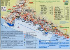
Cingue Terre-map Map
339 miles away
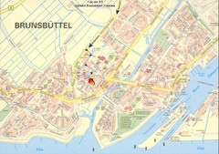
Brunsbüttel Map
Street map of Brunsbüttel and surrounding region
340 miles away
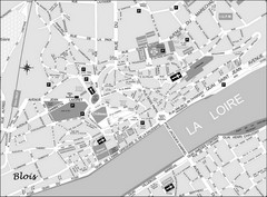
Blois Street Map
340 miles away
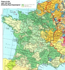
France Late 15th Century Map
France in the Late 15th Century (showing Royal Appanages)
342 miles away
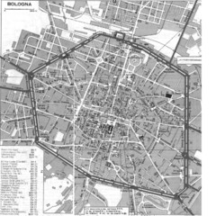
Bologna Italy City Map
Street level map of Bologna, Italy city center with some buildings noted.
342 miles away
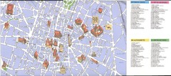
Bologna centro Map
342 miles away

