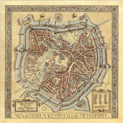
Münster City Map 1636
207 miles away
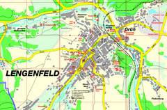
Lengenfeld Map
Street map of Lengenfeld
207 miles away
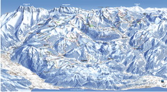
Les Portes du Soleil Portes Du Soleil Ski Trail...
Trail map from Les Portes du Soleil.
208 miles away
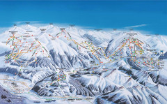
Gerlos Ski Resort Map
Ski map for Gerlos, Austria. Includes ski runs, lifts, mountains with elevations and amenities.
208 miles away
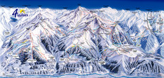
Verbier—Les quatre vallées (Nendaz...
Trail map from Verbier—Les quatre vallées (Nendaz, Veysonnaz), which provides downhill...
208 miles away
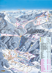
Reit im Winkl Ski Trail Map
Trail map from Reit im Winkl.
208 miles away
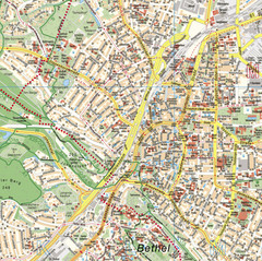
Bielefeld Street Map
Street map of central Bielefeld, Germany. Shows some points of interest.
209 miles away
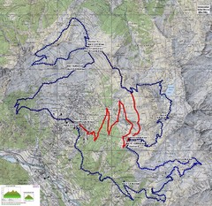
Verbier 60k Course Profile Map
Course Map and Elevation Profile for the Verbier Ultra Run 60k and 20k routes.
209 miles away
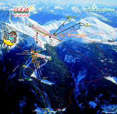
Meran Ski Trail Map
Trail map from Meran 2000, which provides downhill skiing. This ski area has its own website.
209 miles away
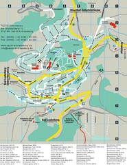
Sankt Andreasberg Tourist Map
Sankt Andreasberg tourist map
209 miles away
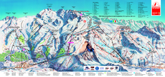
Matterhorn Ski Paradise Ski Trail Map
Trail map from Matterhorn ski paradise.
209 miles away
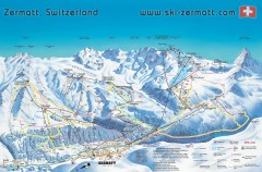
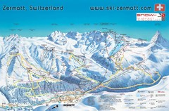
Zermatt Switzerland ski map
Zermatt Switzerland ski map
209 miles away
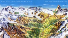
Zermatt Switzerland summer map
Summer hiking map of Zermatt
209 miles away
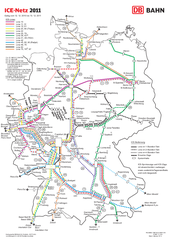
D ICE Netz Map
209 miles away
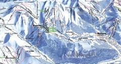
Avoriaz Ski Trail Map
Trail map from Avoriaz.
209 miles away
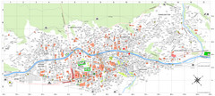
Zermatt Tourist Map
Guide to Zermatt, Switzerland
209 miles away
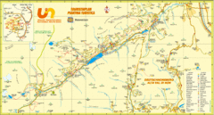
Ultental Deutschnonsberg St. Walburg Tourist Map
Tourist map of the southern Tyrol region around Ultental, Deutschnonsberg, and St. Walburg/ S...
209 miles away
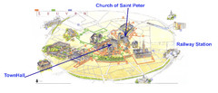
Leuvan City Map
Pictorial City Map of Leuven with information and attractions
209 miles away
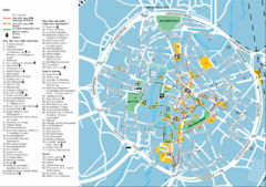
Leuven Tourist Map
Tourist map of Leuven, Belgium. Shows 'City of a Thousand Riches' tourist route. In...
209 miles away
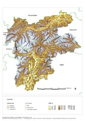
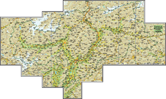
South Tyrol Elevation Map
Physical relief map of the South Tyrol region in present-day borders of Italy and Austria.
210 miles away
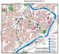
Traunstein Map
Street map of Traunstein
210 miles away
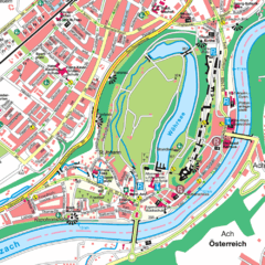
Burghausen Tourist Map
Tourist street map of Burghausen
211 miles away
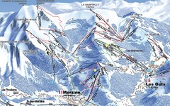
Morzine Morzine Ski Trail Map
Trail map from Morzine.
211 miles away
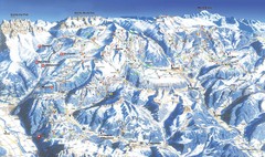
Morzine Ski Trail Map
Ski trail map of Morzine and surrounding ski areas.
211 miles away
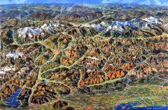
Eastern Alps Italy and Austria Overview Map
Panoramic map of the mountains and towns of northern Italy, the Tyrol, and southern Austria
212 miles away
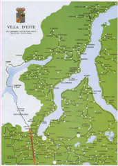
Lake Como Map
Map of lake with detail of surrounding towns
212 miles away
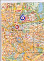
Eindhoven City Map
City map of center of Eindhoven, The Netherlands
212 miles away
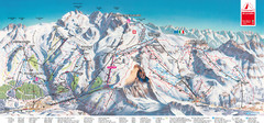
Zermatt Matterhorn Map
213 miles away
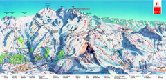
Piste Map of Zermatt with Cervinia
Combined piste map of Zermatt and Cervinia resorts. Shows both sides of the huge ski destination.
213 miles away
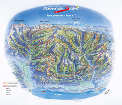
Portes du Soleil Summer Map
Summer recreation map of the Portes du Soleil covers both the French and Swiss sides of the area...
213 miles away
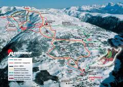
Reinswald Ski Trail Map
Trail map from Reinswald, which provides downhill skiing. It has 4 lifts. This ski area has its own...
213 miles away
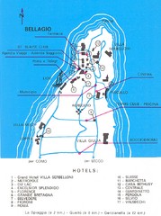
Bellagio Map
213 miles away

