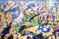
Bormio Panorama Map
Panorama tourist map of Bormio, Italy. Shows Ortler Alps in distance. From photo.
200 miles away
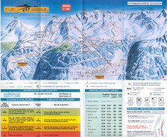
Val d’Anniviers (Grimentz, Zinal, Vercorin, St...
Trail map from Val d’Anniviers (Grimentz, Zinal, Vercorin, St-Luc und Chandolin), which provides...
200 miles away
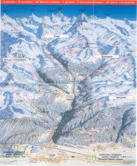
Val d’Anniviers (Grimentz, Zinal, Vercorin, St...
Trail map from Val d’Anniviers (Grimentz, Zinal, Vercorin, St-Luc und Chandolin), which provides...
200 miles away
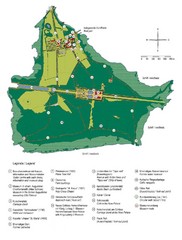
Chiemsee Island Germany Tourist Map
Tourist map of the island showing all the tourist sites.
200 miles away
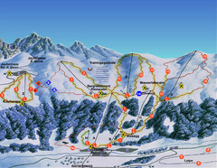
Ratschings / Racines Ski Trail Map
Trail map from Ratschings / Racines.
200 miles away
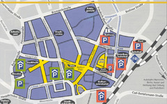
Parking Spots in Downtown Gutersloh Map
200 miles away
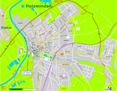
Holzminden Map
Street map of Holzminden
200 miles away
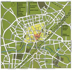
Gütersloh Map
Street tourist map of Gütersloh
200 miles away
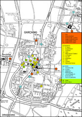
Garching Map
Map of Garching, a suburb to the north of Munich, with hotels, restaurants and bus stops marked.
200 miles away
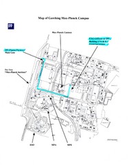
Garching Max-Planck Campus Map
Map of the Max-Planch Campus in Garching, Germany. Includes information on Accommodation and...
201 miles away
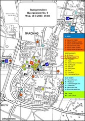
Map of the city of Garching, Germany
General visitor information including the locations of restaurants, hotels, bus stops and more.
201 miles away
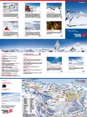
Zillertal 3000 (Hintertux) Ski Trail Map
Trail map from Zillertal 3000 (Hintertux).
201 miles away
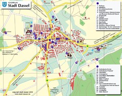
Dassel Tourist Map
Tourist street map of Dassel
201 miles away
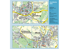
Horn-Bad Meinberg Map
Street map of Horn-Bad Meinberg and surrounding area
201 miles away
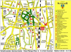
Kevelear Tourist Map
Tourist map of Kevelear
202 miles away
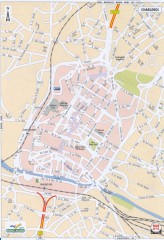
Charleroi Street Map
Street map of Charleroi, Belgium. Major buildings labeled.
202 miles away
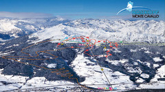
Rosskopf (Vipiteno) Ski Trail Map
Trail map from Rosskopf (Vipiteno), which provides downhill skiing. It has 4 lifts. This ski area...
202 miles away
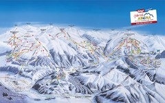
Zillertal Arena Ski Trail Map
Trail map from Zillertal Arena.
202 miles away
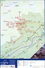
Ovronnaz Tourist Map
Tourist map of Ovronnaz, Switzerland. Shows biking routes, restaurants, and public transport.
202 miles away
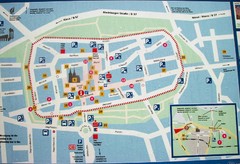
Xanten Tourist Map
Xanten center tourist map
203 miles away
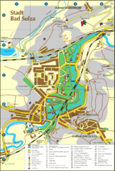
Bad Sulza Map
Tourist street map of Bad Sulza
203 miles away
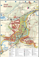
Bad Sulza Tourist Map
Tourist street map of Bad Sulza
203 miles away
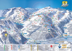
Mayrhofen Ski Trail Map
Ski trail map of Mayrhofen ski area in Austria.
203 miles away
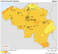
Solar Radiation Map of Belgium
Solar Radiation Map Based on high resolution Solar Radiation Database: SolarGIS. On the Solar Map...
204 miles away
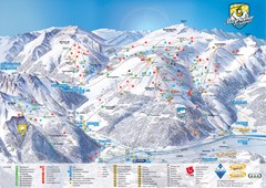
Mayrhofen Ski Trail Map
Trail map from Mayrhofen.
204 miles away
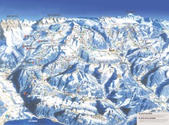
Portes du Soleil Ski Trail Map
Official ski map of the Portes du Soleil region. Winter 2007-2008 key figures: 278 ski-runs...
205 miles away
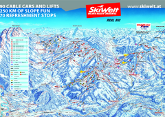
Wilder Kaiser Ski Trail Map
Trail map from Wilder Kaiser – Gosau, Scheffau, Ellmau.
205 miles away
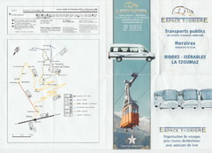
La Tzoumaz Public Transportation Map (French)
205 miles away
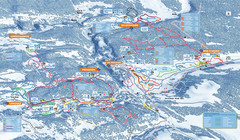
Les Rousses Nordic Ski Trail Map
Trail map from Les Rousses.
206 miles away
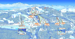
Les Rousses Ski Trail Map
Trail map from Les Rousses.
206 miles away
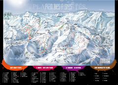
Le Corbier Ski Trail Map
Trail map from Le Corbier.
206 miles away
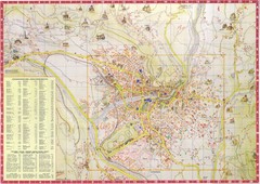
Merano Map
207 miles away

