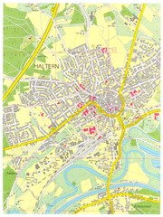
Goettingen Map
map of downtown Goettingen.
187 miles away
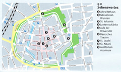
Gottingen Map
188 miles away
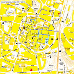
Recklinghausen Map
Street map of city
188 miles away
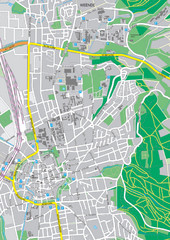
Göttingen City Map
City map of Göttingen, Germany
188 miles away
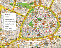
Paderborn Center Map
Street map of Paderborn city center
188 miles away
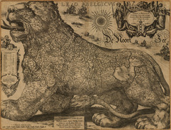
Jodocus Hondius’ Map of Belgium as a Lion...
Jodocus Hondius’ Map depicting Belgium as a Lion.
188 miles away
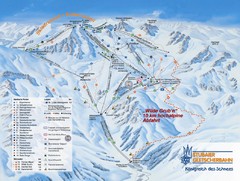
Stubaital Ski Trail Map
Trail map from Stubaital.
189 miles away
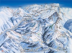
Villars-Gryon Ski Trail Map
Trail map from Villars-Gryon.
190 miles away
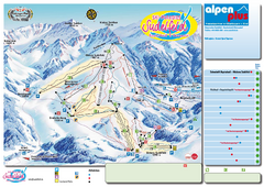
Sudelfeld Ski Trail Map
Trail map from Sudelfeld.
190 miles away
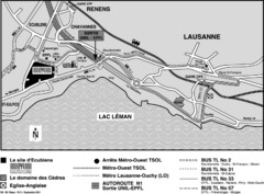
EPFL Lausanne Switzerland Map
Map of the EPFL University and bus routes from Lausanne to get there.
191 miles away
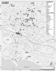
Lausanne Tourist Map
Tourist map of central Lausanne, Switzerland on the shore of Lake Geneva. Shows accommodation...
191 miles away
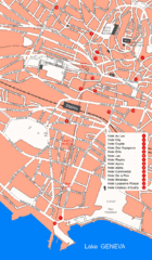
Lausanne Hotel Map
191 miles away
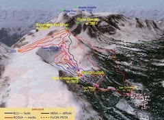
Alpe Ciamporino Ski Trail Map
Trail map from Alpe Ciamporino, which provides downhill skiing. It has 6 lifts. This ski area has...
191 miles away
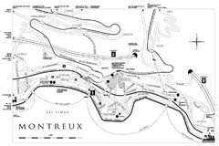
Montreux City Map
City map of Montreux, Switzerland on Lac Leman
191 miles away
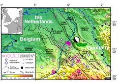
Earthquake in Lower Rhine Map
Seismotectonic map of the Lower Rhine graben system in the border area of Belgium, Germany and the...
191 miles away

Jena Topographic Map
Guide to topography and surrounding area of Jena, Germany
191 miles away
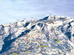
Crans Montana (Barzettes, Aminona) Ski Trail Map
Trail map from Crans Montana (Barzettes, Aminona), which provides downhill skiing.
192 miles away
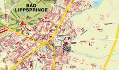
Bad Lippspringe Map
Street map of Bad Lippspringe
193 miles away
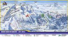
Les Diablerets Ski Trail Map
Trail map from Les Diablerets.
193 miles away
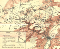
1806 Jena, Germany Map
Historic guide to Jena, Germany in German
194 miles away
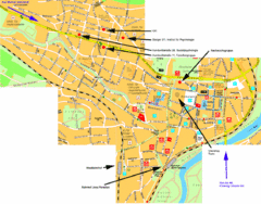
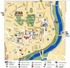
Jena City Map
City map of Jena with information
194 miles away

Dijon centre Map
194 miles away
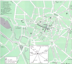
Dijon Map
194 miles away
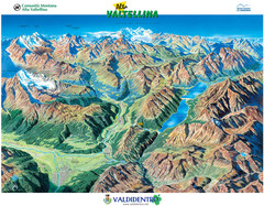
Valdidentro Alta Valtellina Summer Map
Panorama tourist map of the region of Valdidentro Alta Valtellina from Bormio, Italy to Livigno...
195 miles away
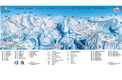
Leysin (Leysin, Les Mosses, La Lecherette) Ski...
Trail map from Leysin (Leysin, Les Mosses, La Lecherette), which provides downhill skiing.
195 miles away
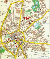
Ennirgerloh Map
Street map of Ennirgerloh
196 miles away
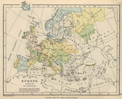
Europe 15th Century Colbeck Map
Europe during the 15th Century
197 miles away

Sulden Trafoi Summer Hiking Map
Summer hiking route map of Sulden (Solda) Italy, Trafoi, Italy and Stelvio, Italy. Shows hiking...
197 miles away
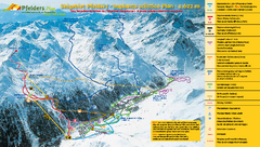
Pfelders Ski Trail Map
Trail map from Pfelders, which provides downhill and nordic skiing. This ski area has its own...
197 miles away
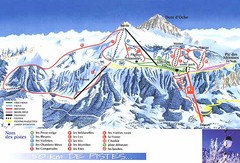
Thollon-les-Memises Ski Trail Map
Trail map from Thollon-les-Memises.
197 miles away
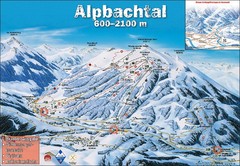
Alpbach Ski Trail Map
Trail map from Alpbach.
197 miles away
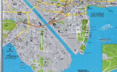
Ascona City Tourist Map
Landmarks in Ascona, Switzerland
198 miles away
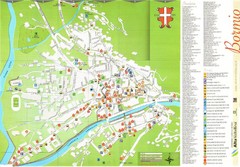
Bormio Tourist Map
Tourist map of town of Bormio, Italy. Legend of all streets and services.
198 miles away
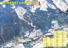
Ladurns Ski Trail Map
Trail map from Ladurns, which provides downhill skiing. This ski area has its own website.
198 miles away

Sulden Ski Trail Map
Ski trail map of Sulden (Solda), Italy in the Ortler Alps. Shows trails and lifts.
199 miles away

