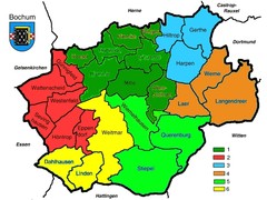
Bochum Stadtteile Map
179 miles away
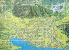
Rottach Egern Map
179 miles away
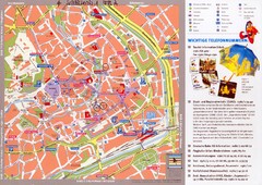
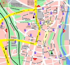
Erfurt Tourist Map
Tourist map of Erfurt, Germany. Shows points of interest. In German. Scanned.
179 miles away
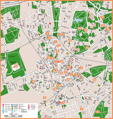
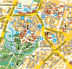
Bochum Tourist Map
Tourist map of central Bochum, Germany. Shows points of interest; numbers correspond to more info...
179 miles away
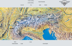
Alps Top Resort Town Map
Shows 12 top 4 season mountain resort towns in the Alps in France, Switzerland, Austria, and Italy.
179 miles away
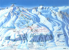
Lötschental (Wiler) Ski Trail Map
Trail map from Lötschental (Wiler), which provides downhill skiing.
180 miles away
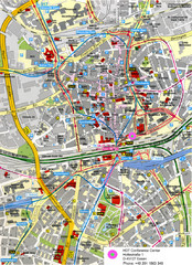
Essen Street Map
Street map of central Essen, Germany
180 miles away
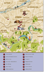
Essen Region Tourist Map
Tourist map of region of Essen
180 miles away
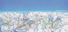
Adelboden-Lenk (Frutigen) Ski Trail Map
Trail map from Adelboden-Lenk (Frutigen), which provides downhill skiing.
181 miles away
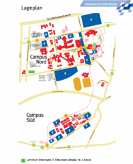
Universitat Dortumund Campus Map
181 miles away
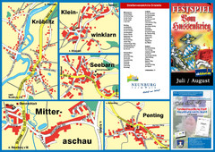
Neunburg vorm Wald District Map
Tourist street map of districts of Neunburg
181 miles away
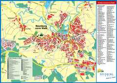
Neunburg vorm Wald Map
Tourist street map of Neunburg vorm Wald
181 miles away
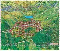
Bettmeralp Summer Map
Summer tourist map of town of Bettmeralp, Switzerland. With reference grid.
182 miles away
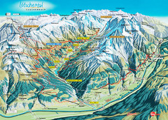
Lötschental Lauchernalp Summer Trail Map
Summer trail map of Lötschental Valley area. Shows hiking trails, towns, and mountains. The...
182 miles away
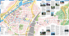
Duisburg Tourist Map
Tourist map of central Duisburg, Germany. Shows points of interest.
183 miles away
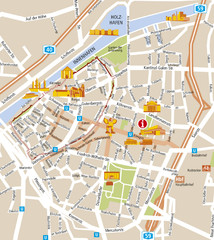
Duisburg City Map
Street map of Duisburg center
183 miles away

Gstaad Mountain Rides Ski Trail Map
Trail map from Gstaad Mountain Rides.
183 miles away
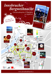
Innsbruck Christmas Markets Map
Christmas market map of Innsbruck, Austria.
183 miles away
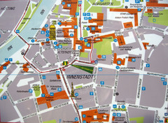
Innsbruck Tourist Map
Tourist map of inner Innsbruck, Austria. Photo of outdoor map.
183 miles away
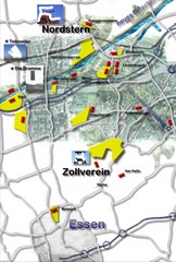
Essen-Nord Map
183 miles away
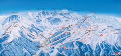
Axamer Lizum Ski Trail Map
Trail map from Axamer Lizum.
183 miles away
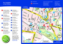
Bad Aibling Tourist Map
Tourist parking map of downtown Bad Aibling
183 miles away
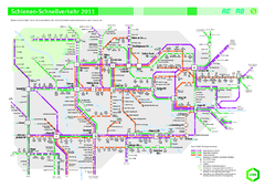
Ruhr VRR Schnellverkehr Map
183 miles away
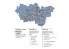
Ruhrgebiet Industriekultur Map
184 miles away
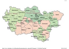
Ruhr RVR Map
184 miles away
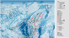
Leukerbad Ski Trail Map
Trail map from Leukerbad.
185 miles away
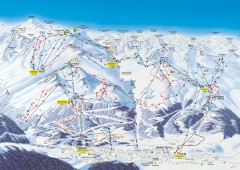
Solden Ski Trail Map
Ski trail map of the Solden ski area in the Tyrol region of Austria.
186 miles away
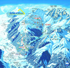
Fulpmes Ski Trail Map
Trail map of Fulpmes ski area in the Stubai Alps near Fulpmes, Austria. Schlick 2000
186 miles away
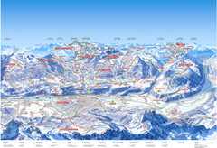
Innsbruck Region Ski Map
Shows ski regions around Innsbruck, Austria
186 miles away

St. Moritz Tourist Map
Tourist map of St. Moritz, Switzerland. Shows summer and winter points of interest.
186 miles away
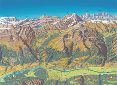
Leukerbad Summer Trail Map
Summer hiking trail map from Leukerbad.
186 miles away
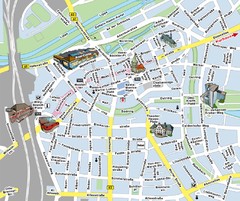
Hamm Center Tourist Map
Tourist street map of Hamm center
187 miles away
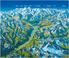
Engadin St. Moritz Region Summer Map
Summer panoramic tourist map of Engadin region of Switzerland. Includes St. Moritz, Piz Bernina...
187 miles away
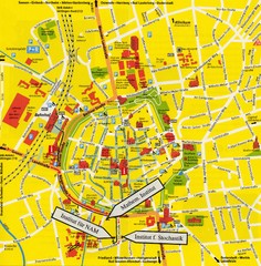
Gottingen City Map
City map of Gottingen with school buildings highlighted
187 miles away

