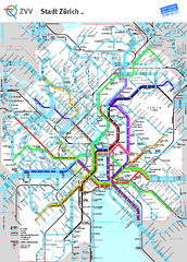
Zurich Metro Map
Official metro map from ZVV. Shows lines in central Zurich, Switzerland.
77 miles away
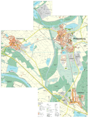
Philippsburg Map
Street map of Philippsburg
77 miles away
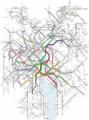
Zurich Tram Map
Map of tram system for Zurich and surrounding areas
78 miles away
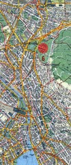
Zurich, Switzerland Tourist Map
78 miles away
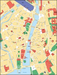
Zurich, Switzerland Tourist Map
78 miles away
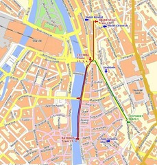
Zurich, Switzerland Tourist Map
78 miles away
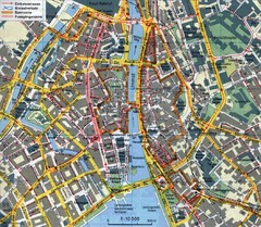
Zurich, Switzerland Tourist Map
78 miles away
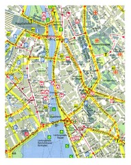
Zurich, Switzerland Tourist Map
78 miles away
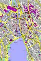
Zurich, Switzerland Tourist Map
78 miles away
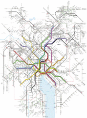
Zurich Transit Map
Map of transit routes throughout Zurich
78 miles away
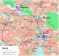
Zurich City Map
City map of Zurich with university highlighted
78 miles away
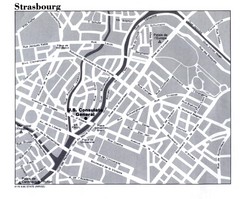
Strasbourg City Map
City map of part of Strasbourg, France. Shows US Consulate.
79 miles away
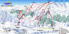
Toggenburg Ski Trail Map
Trail map from Toggenburg.
79 miles away

Strasbourg Map
79 miles away
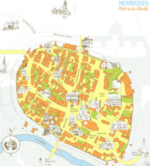
Herrieden Map
Street map of town center of Herrieden
80 miles away
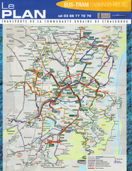
Strasbourg Bus and Tram Map
80 miles away
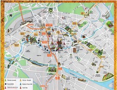
Strassburg Tourist Map
Tourist map of central Strassburg, France. Shows streets, trams, and major buildings. Scanned.
80 miles away
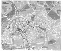
Strasbourg Map
Shows bus and tram itineraries to the Brethren Colleges Abroad office from the train station and...
80 miles away
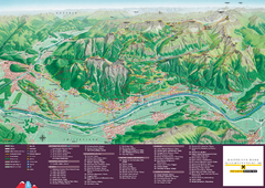
Liechtenstein Tourist Map
Tourist map of the country of Liechtenstein. Panoramic view shows all towns, trails, and mountains.
80 miles away
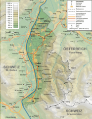
Liechtenstein topography Map
80 miles away
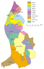
Liechtenstein Tourist Map
80 miles away
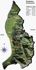
Liechtenstein Tourist Map
80 miles away
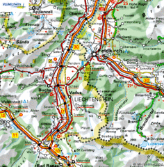
Liechtenstein road Map
81 miles away
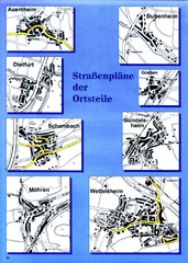
Treuchtlingen Districts Map
Street map of districts within the Treuchtlingen region
81 miles away
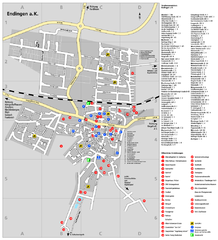
Endingen Tourist Map
Tourist street map of Endingen center
81 miles away
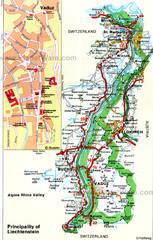
Liechtenstein Principality Map
81 miles away
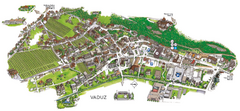
Vaduz Town Map
Tourist map of town of Vaduz, Liechtenstein. Panoramic view shows buildings and streets.
82 miles away
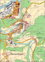
Pappenheim Map
Street map of Pappenheim
82 miles away
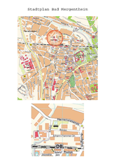
Bad Mergentheim Map
Street map of Bad Mergentheim
82 miles away
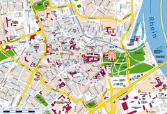
Speyer City Map
City map of central Speyer, Germany
83 miles away
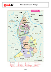
Liechtenstein Regional Map
Country map with detail of regional divides
83 miles away

Alsace - Bas Rhin Map
84 miles away
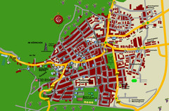
Bad Bergzabern Tourist Map
Tourist street map of Bad Bergzabern
85 miles away
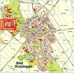
Bad Krozingen Map
Street map of Bad Krozingen
85 miles away
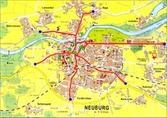
Neuburg an der Donau Map
Street map of Neuburg an der Donau
85 miles away
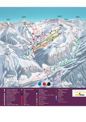
Malbun Ski Trail Map
Ski trail map of area surrounding Malbun, Liechtenstein. Also shows walking routes.
85 miles away
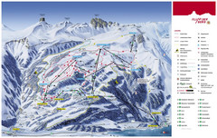
Flumserberg Ski Trail Map
Trail map from Flumserberg.
85 miles away
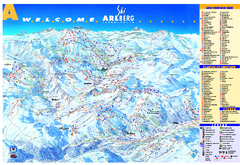
St Anton Region Ski map
Panoramic ski map covers St. Anton, St. Christoph, St. Jakob, Stuben, Zurs, Zug, Lech, and Oberlech...
87 miles away

