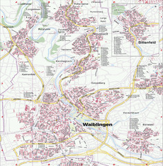
Waiblingen Map
City map of Waiblingen and surrounding region
45 miles away
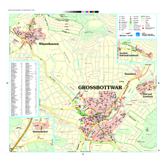
Großbottwar Map
Street map of Großbottwar and surrounding area
46 miles away

Heilbronn Tourist Map
Tourist map of Heilbronn
48 miles away

Bad Durkheim Tourist Map
Tourist map of Bad Durkhiem
49 miles away
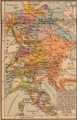
Germany Italy 1803 Map
Germany and Italy in 1803 after the Principle Decree of the Imperial Deputation
49 miles away
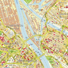
Ludwigshafen City Map
Street map of Ludwigshafen city center
50 miles away
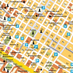
Central Mannheim Mp Map
Street map of Central Mannheim
50 miles away
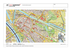
Mannheim Map
50 miles away
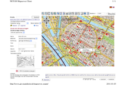
Mannheim Map
50 miles away
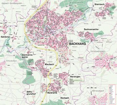
Backnang Region Map
Street map of Backnang and surrounding area
51 miles away
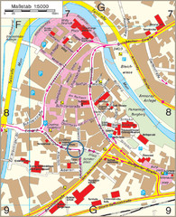
Backnang City Map
Street map of Backnang city center
51 miles away
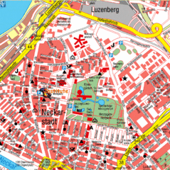
Mannheim Tourist Map
Tourist map of central Mannheim, Germany. Shows points of interest.
51 miles away
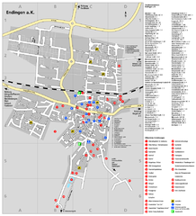
Endingen Tourist Map
Tourist street map of Endingen center
52 miles away
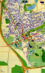
Bad Durrheim Map
Street map of Bad Durrheim
52 miles away

Alsace - Route du Vin Map
53 miles away
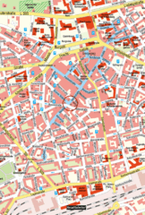
Kaiserslautern Center Map
Street map of Kaiserslautern city center
53 miles away
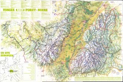
Vosges panorama Map
54 miles away
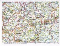
Gerhardsbrunn Map
54 miles away
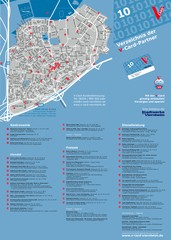
Viernheim Tourist Map
Tourist map of city of Viernheim
55 miles away
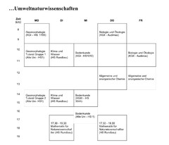
Test Map
58 miles away
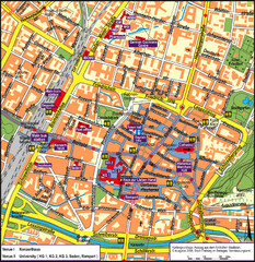
Frieburg Tourist Map
58 miles away
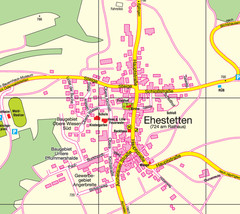
Ehestetten Map
Street map of Ehestetten
59 miles away

Ribeauville Map
61 miles away
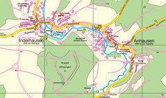
Indelhausen / Anhausen Map
Map of towns of Indelhausen & Anhausen
62 miles away

Wuerttembergische Landeskirche Map
Karte der Evang. Landeskirche in Wuerttemberg, The Evangelical-Lutheran Church in Wuerttemberg
64 miles away
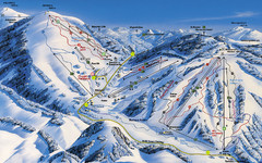
Feldberg Ski Trail Map
Trail map from Feldberg.
64 miles away
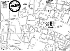
Colmar 2 Map
66 miles away
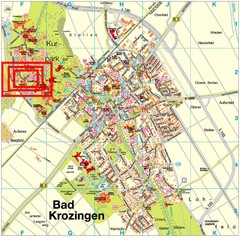
Bad Krozingen Map
Street map of Bad Krozingen
66 miles away

Colmar 1 Map
66 miles away
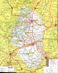
Alsace - Haut Rhin Map
70 miles away
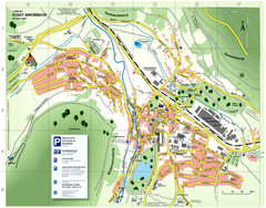
Amorbach Tourist Map
Tourist map of Amorbach
73 miles away
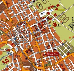
Bad Saulgau Tourist Map
Tourist street map of Bad Saulgau town center
74 miles away
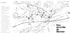
Munster Map
74 miles away

Oppenheim Map
Street map of city of Oppenheim
75 miles away

