Munich Public Transportation Map
133 miles away
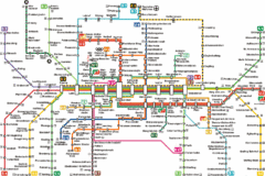
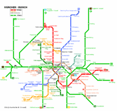
Munich Metro Map
Metro map of Munich, Germany. In German.
133 miles away
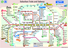
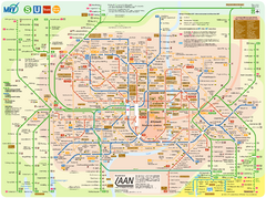
Munich public transportation system Map
This MVV network map, probably the best known one, shows all lines and stops for the urban rail and...
133 miles away
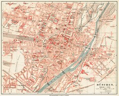
Munich Map
133 miles away
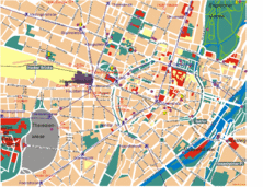
Munich Tourist Map
Tourist map of central Munich (München), Germany.
133 miles away
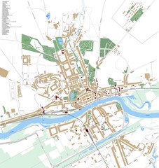
Landsberg Map
Street map of city of Landsberg
134 miles away
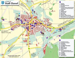
Dassel Tourist Map
Tourist street map of Dassel
134 miles away
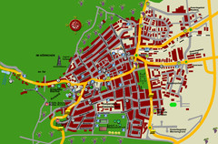
Bad Bergzabern Tourist Map
Tourist street map of Bad Bergzabern
134 miles away
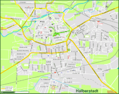
Halberstadt Map
Street map of Halberstadt town
134 miles away
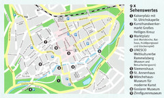
Goslar Map
134 miles away
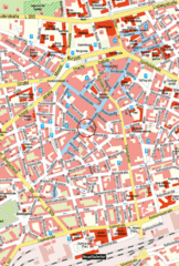
Kaiserslautern Center Map
Street map of Kaiserslautern city center
135 miles away
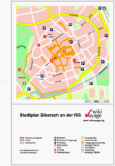
Biberach an der Riß Tourist Map
Tourist map of Biberach an der Riß town center
135 miles away
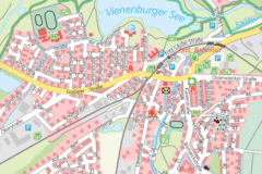
Vienenburg Center Map
Street map of town center
137 miles away
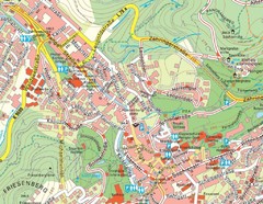
Baden Baden Street Map
Street map of city of Baden Baden
138 miles away
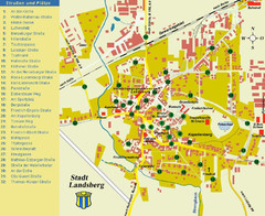
Landsberg Tourist Map
tourist map of town of Landsberg
138 miles away
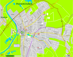
Holzminden Map
Street map of Holzminden
139 miles away
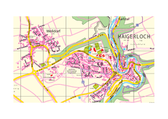
Haigerloch & Weildorf Map
Map of Haigerloch / Weildorf area
139 miles away
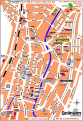
Balingen Tourist Map
Tourist street map of Balingen center
143 miles away
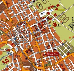
Bad Saulgau Tourist Map
Tourist street map of Bad Saulgau town center
145 miles away

Lauterbad, Germany Map
146 miles away
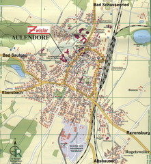
Aulendorf Map
Street map of city of Aulendorf
147 miles away
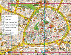
Paderborn Center Map
Street map of Paderborn city center
147 miles away
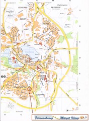
Bad Waldsee Map
Street map of Bad Waldsee
148 miles away
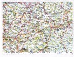
Gerhardsbrunn Map
148 miles away
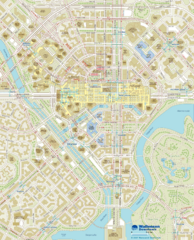
Wallensen Downtown Map
Wallensen City Downtown Map.
149 miles away
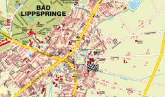
Bad Lippspringe Map
Street map of Bad Lippspringe
149 miles away
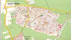
Geretsried Map
Street map of Geretsried
151 miles away
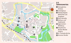
Wolfenbuttel Map
152 miles away
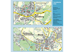
Horn-Bad Meinberg Map
Street map of Horn-Bad Meinberg and surrounding area
152 miles away
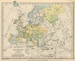
Europe 15th Century Colbeck Map
Europe during the 15th Century
153 miles away

