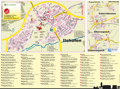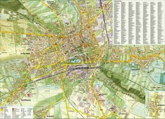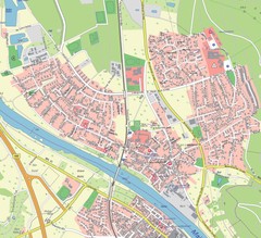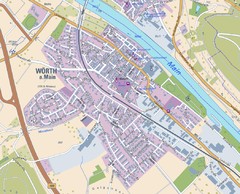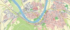
Miltenberg Map
Map of Miltenberg and surrounding area
65 miles away
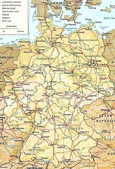
Germany Map
Map of Germany showing roads, railways and cities.
66 miles away
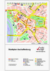
Aschaffenburg Tourist Map
Tourist street map of Aschaffenburg
66 miles away
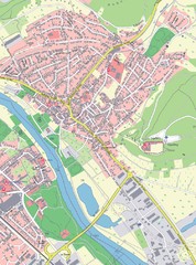
Grossheubach Map
Street map of Grossheubach
67 miles away
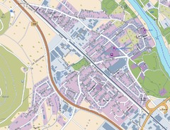
Kleinheubach Map
Street map of Kleinheubach
67 miles away
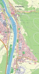
Klingenberg Map
Map of Klingenberg and surrounding region
67 miles away
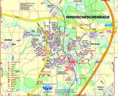
Windischeschenbach Tourist Map
Tourist street map of Windischeschenbach
67 miles away
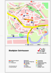
Gelnhausen Center Map
Tourist map of Gelnhausen center
67 miles away
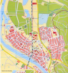
Erlenbach Map
Street map of town of Erlenbach
68 miles away
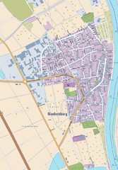
Niedernberg Map
Street map of Niedernberg
68 miles away
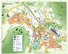
Amorbach Tourist Map
Tourist map of Amorbach
68 miles away
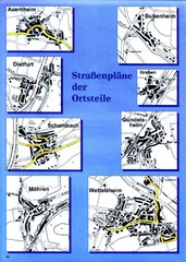
Treuchtlingen Districts Map
Street map of districts within the Treuchtlingen region
71 miles away
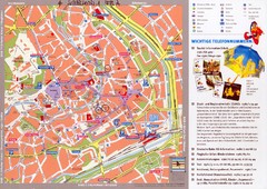
Erfurt Tourist Map
Tourist map of Erfurt, Germany. Shows points of interest. In German. Scanned.
71 miles away
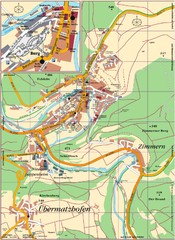
Pappenheim Map
Street map of Pappenheim
73 miles away

Jena Topographic Map
Guide to topography and surrounding area of Jena, Germany
75 miles away
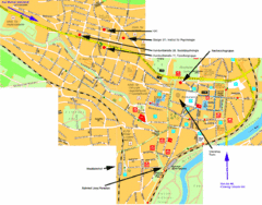
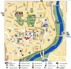
Jena City Map
City map of Jena with information
78 miles away
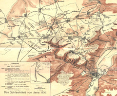
1806 Jena, Germany Map
Historic guide to Jena, Germany in German
78 miles away
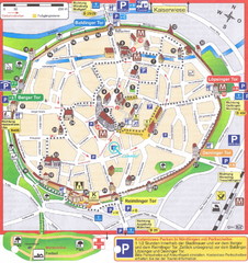
Nördlingen Tourist Map
Tourist street map of Nördlingen
78 miles away
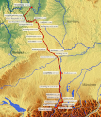
Romantische Strasse Map
80 miles away
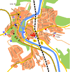
Harburg Map
Street map of Harburg town
82 miles away
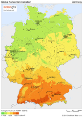
Solar Radiation Map of Germany
Solar Radiation Map Based on high resolution Solar Radiation Database: SolarGIS. On the Solar Map...
83 miles away
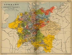
Germany 1519 Historical Map
83 miles away
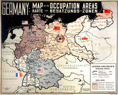
Occupation Areas of Germany after 1945 Map
This was an actual poster to be shown in the occupied Germany after the WWII.
83 miles away
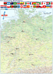
Germany Football World Cup 2006 Map
Shows football (soccer) cities in the 2006 World Cup hosted by Germany.
83 miles away
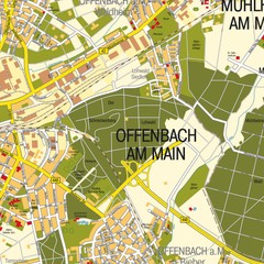
Offenbach am Main Map
Street map of Offenbach am Main
85 miles away
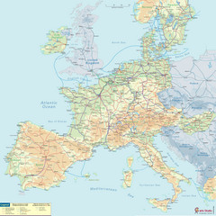
European Railway Map
85 miles away
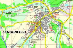
Lengenfeld Map
Street map of Lengenfeld
86 miles away

