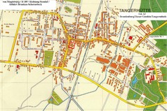
Tangerhuette Map
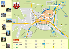
Street map of city of Tangerhuette
178 miles away
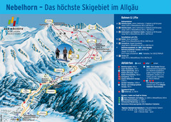
Oberstdorf Ski Trail Map
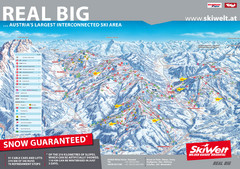
Trail map from Oberstdorf.
178 miles away
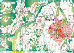
Oberstdorf City Map
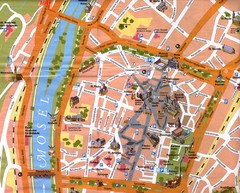
City map of Oberstdorf, Germany and surrounding area. Shows buildings and ski lifts. In German.
178 miles away
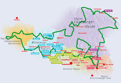
Niedersachsen Spargelstrasse Map
178 miles away
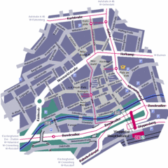
Wuppertal Elberfeld Street Map
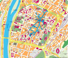
Street map of Elberfeld in Wuppertal, Germany. In German.
178 miles away
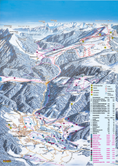
Reit im Winkl Ski Trail Map
Trail map from Reit im Winkl.
179 miles away
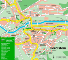
Gerolstein Map
Street map of Gerolstein
179 miles away
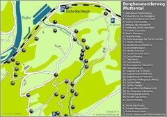
Muttental Bergbauwanderweg Map
180 miles away
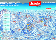
Wilder Kaiser Ski Trail Map
Trail map from Wilder Kaiser – Gosau, Scheffau, Ellmau.
181 miles away
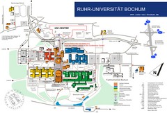
Ruhr-Universitat Campus Map
181 miles away
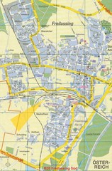
Freilassing Map
Street map of Freilassing
181 miles away
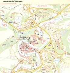
Cesky Krumlov Czech Republic Tourist Map
Tourist map of Cesky Krumlov, Czech Republic. Shows wc, buildings of historical interest and...
183 miles away
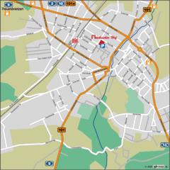
Luckenwalde Map
Street map of Luckenwalde
183 miles away
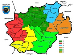
Bochum Stadtteile Map
183 miles away
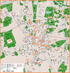
Bochum Tourist Map
Tourist map of central Bochum, Germany. Shows points of interest; numbers correspond to more info...
184 miles away
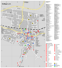
Endingen Tourist Map
Tourist street map of Endingen center
184 miles away
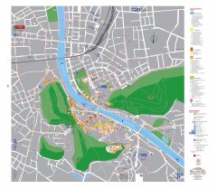
Salzburg Tourist Map
Tourist map of Salzburg, Austria. In German.
185 miles away
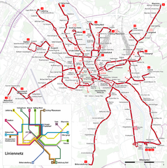
Salzburg Trolleybus Map
185 miles away
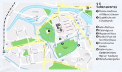
Celle Map
185 miles away
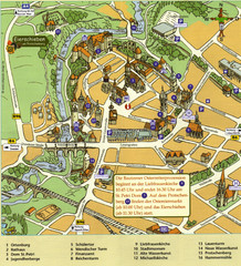
Bautzen Tourist Map
Tourist map of Bautzen town center
185 miles away
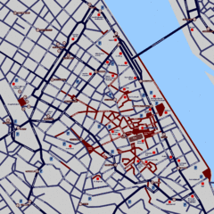
Heisingen Map
Detailed map of the city including parking, streets, and hotels.
186 miles away

Alsace - Route du Vin Map
187 miles away
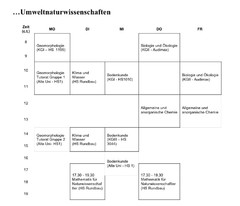
Test Map
187 miles away
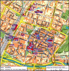
Frieburg Tourist Map
187 miles away
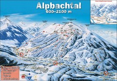
Alpbach Ski Trail Map
Trail map from Alpbach.
187 miles away
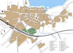
Woldenberg Map
Street map of city of Woldenberg
187 miles away
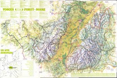
Vosges panorama Map
187 miles away
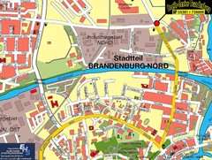
Brandenburg an der Havel Map
Street map of Brandenburg an der Havel center
188 miles away
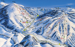
Feldberg Ski Trail Map
Trail map from Feldberg.
189 miles away
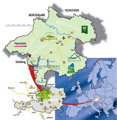
Upper Austria Tourist Map
189 miles away
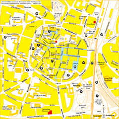
Recklinghausen Map
Street map of city
189 miles away
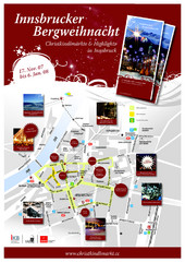
Innsbruck Christmas Markets Map
Christmas market map of Innsbruck, Austria.
190 miles away
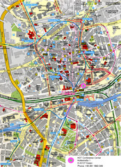
Essen Street Map
Street map of central Essen, Germany
190 miles away
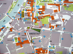
Innsbruck Tourist Map
Tourist map of inner Innsbruck, Austria. Photo of outdoor map.
190 miles away
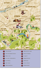
Essen Region Tourist Map
Tourist map of region of Essen
190 miles away
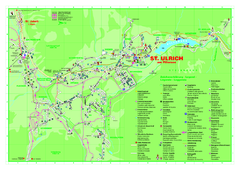
St. Ulrich am Pillersee Map
Village map of St. Ulrich am Pillersee, Austria
190 miles away

