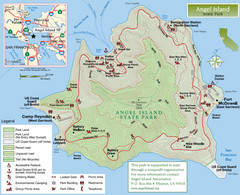
Angel Island State Park Map
Official map of Angel Island State Park in the San Francisco Bay. Shows paved and unpaved roads...
131 miles away
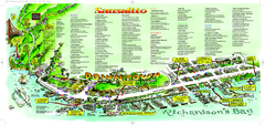
Sausalito Tourist Map
Visitor map of Sausalito, California. Shows restaurants, shopping, and other points of interest
131 miles away
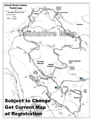
Grizzly Peak Century North Loop Route Map
Road bike route map of the north loop in the Grizzly Peak Century Ride. From site: "The...
131 miles away
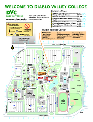
Diablo Valley College Map
132 miles away
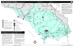
Marin Headlands Trail Map
Trail map of Marin Headlands in Marin County, California. Shows trails with distances by use type...
132 miles away
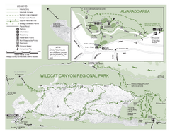
Wildcat Canyon Regional Park Map
133 miles away
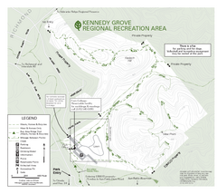
Kennedy Grove Recreation Area Trail Map
222-acre park
133 miles away
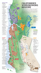
California Wine Map
Wine region map of state of California. Shows 100 American Viticultural Areas (AVAs). There are 4...
133 miles away
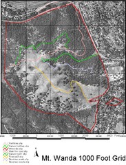
Mt. Wanda Aerial Trail Map
Trail map of Mt. Wanda area in the John Muir National Historic Site.
133 miles away
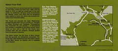
John Muir National Histroric Site Map
134 miles away
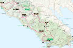
Headlands 50K Map (for 2011 race and future races)
Course For 2011 Headlands 50K
134 miles away
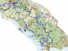
Golden Gate Headlands 50k Course Map
Here is a map of the 31-mile course for the Golden Gate Headlands: USATF National 50K Trail...
134 miles away
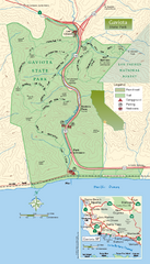
Gaviota State Park Zoom Map
Zoom map of park with detail of trails and recreation zones
135 miles away
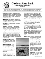
Gaviota State Park Campground Map
Map of campground region of park with detail of trails and recreation zones
135 miles away
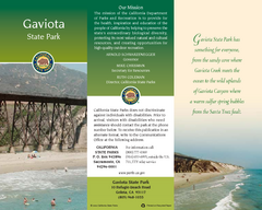
Gaviota State Park Map
Map of park with detail of trails and recreation zones
135 miles away
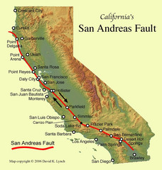
San Andreas Fault, California Map
135 miles away
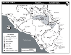
Muir Woods Trail Map
Black and white trail map of Muir Woods National Monument and surrounding Mount Tamalpais State...
135 miles away
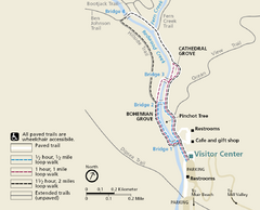
Muir Woods Trail Map
Shows paved loop walks and extended unpaved trails in Muir Woods National Monument, California
136 miles away
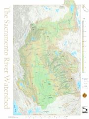
Sacramento River Watershed Map
The map shows, rivers, cities, counties, and roads surrounding the Sacramento River.
136 miles away
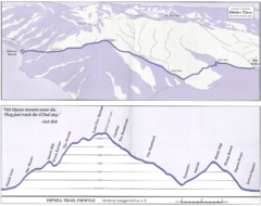
Dipsea Race Course Map
Course map of the annual Dipsea Trail Run Race. Shows birds-eye view and elevation profile of the...
136 miles away
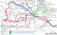
Alpine Dam Seven Sisters Road Bike Route Map...
Road biking route map for the classic Alpine Dam/Seven Sisters loop in Marin County from San...
136 miles away
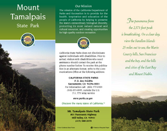
Mount Tamalpais State Park Map
Map of park with detail of trails and recreation zones
136 miles away

Northern California Fire Detection Map
Fires in Northern California
136 miles away
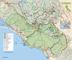
Mount Tamalpais State Park Map
Topographic trail map of Mt Tamalpais State Park in Marin County, California.
137 miles away
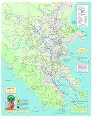
Marin Bicycle Map - Side A
Bike route map of Marin County, California. Shows primary and secondary road routes, paved and...
137 miles away
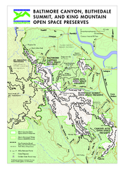
Blithedale Summit Open Space Preserve Map
Trail map of Blithedale Summit Open Space Preserve, Baltimore Canyon Open Space Preserve, and King...
138 miles away
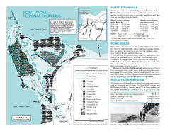
Point Pinole Regional Shoreline Map
138 miles away
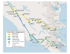
West Marin Bus Map
Bus route map of West Marin Stagecoach. Shows routes to Inverness, Point Reyes Station, Olema...
139 miles away
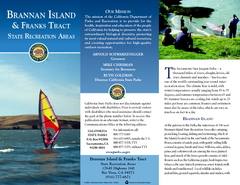
Brannan Island & Franks Tract State...
Map of park with detail of trails and recreation zones
139 miles away
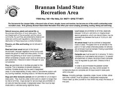
Brannan Island Campground Map
Map of park with detail of trails and recreation zones
139 miles away

California Aquaduct Map in Kern County
The California Aqueduct is the principal water conveyance structure for the California State Water...
140 miles away

Southern Golden Gate National Recreation Map
140 miles away
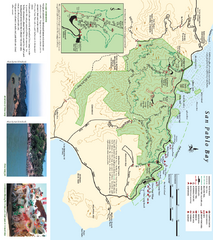
China Camp State Park Map
Trail map of China Camp State Park. Shows trails by use type and all park facilities.
140 miles away

China Camp State Park Map
Map of park with detail of trails and recreation zones
141 miles away
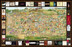
Lodi Valley Wine Map & Visitors Guide
A great source for information about the Lodi Wineries and our valleys rich Wine Region
141 miles away
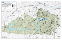
Mt. Tamalpais Watershed Trail Map
Shows roads and trails in the 18,500 Mt. Tamalpais Watershed near Fairfax, California.
141 miles away
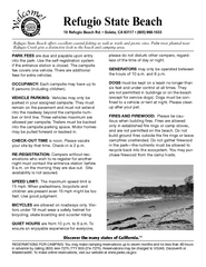
Refugio State Beach Campground Map
Map of campground region of beach with detail of trails and recreation zones
141 miles away

Buena Vista Lakes Map
Buena Vista Aquatic Recreation Area is located off of Taft Highway, 23 miles southwest of...
142 miles away
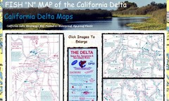
California Delta Maps Map
FISH "N" MAP of the California Delta. Navigation Map with GPS Locations. Printed on...
142 miles away
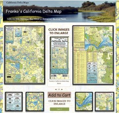
California Delta Maps Map
The "BEST" Navigational Maps of the California Delta. Franko's California...
142 miles away

