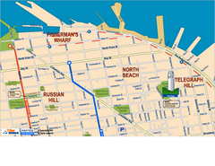
Downtown San Francisco: Fisherman's Wharf...
Tourist map of Fisherman's Wharf, North Beach, and Telegraph Hill area in downtown San...
126 miles away
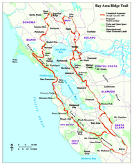
Bay Area Ridge Trail Map
Map of the Bay Area Ridge Trail. Shows completed segments through Sep 2009. "a 550+ mile...
127 miles away
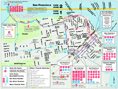
San Francisco Bus and Ferry Map
127 miles away
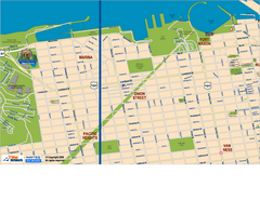
Downtown San Francisco: Fort Mason, the Marina...
Tourist map of Fort Mason, the Marina, and Pacific Heights area in downtown San Francisco...
127 miles away
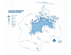
Lafayette Reservoir Recreation Area Map
127 miles away
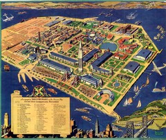
Golden Gate International Expo Cartograph 1939 Map
Bird's eye view of the Golden Gate International Expo in 1939 at Treasure Island in the San...
127 miles away
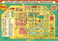
Golden Gate International Expo 1939 Map
Map of the 1939 Golden Gate International Expo.
127 miles away
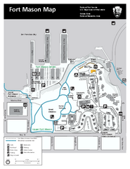
Fort Mason Map
Overview map of Fort Mason, San Francisco, California. Shows trails and points of interest.
127 miles away
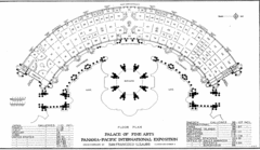
San Francisco Palace of the Fine Arts Map
127 miles away
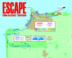
Escape From Alcatraz Triathlon Course Map 2009
Official course map of the 2009 Escape From Alcatraz Triathlon in San Francisco
127 miles away
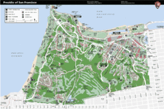
Presidio of San Francisco detail map
Detail map of the Presidio of San Francisco from NPS. Shows hiking/walking trails and POIs such as...
127 miles away
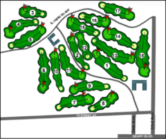
Lincoln Park Golf Course Map
127 miles away
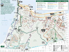
Presidio Trail and Overlook Map
Trail map of the Presidio in San Francisco. Shows 12 major trails (both existing and proposed) and...
127 miles away
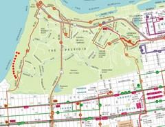
Baker Beach, San Francisco Tourist Map
127 miles away
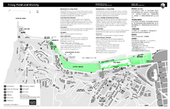
Crissy Field Map
Official NPS map of Crissy Field and vicinity in the Presidio of San Francisco, CA
128 miles away
California Zip Code Map
Check out this Zip code map and every other state and county zip code map zipcodeguy.com.
128 miles away
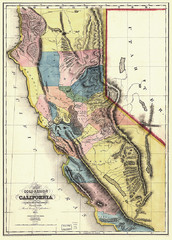
1851 California Regional Map
Great quality map of Californian regions in 1851.
128 miles away
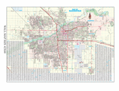
Bakersfield, California City Map
128 miles away
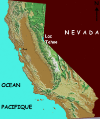
California elevation Map
California map showing elevations by contours, with Lake Tahoe identified.
128 miles away
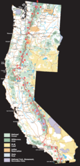
Pacific Crest Trail Route Overview Map
Western United States Map showing National Forests, State Parks, National Parks, Indian...
128 miles away
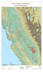
Dairy Locations and Herd Size for the Central...
Map of dairy locations, displayed by herd size in California's Central Valley. Base map...
128 miles away
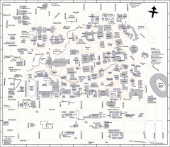
UC Berkeley Map
UC Berkeley campus map
128 miles away
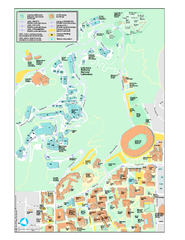
University of California, Berkeley Visitor Map
Colorful Map that illustrates the location of all buildings, parking areas, and streets in and...
128 miles away
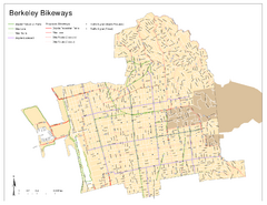
Bikeway Network of Berkeley, California Map
Map of current and proposed bike paths, lanes, and boulevards in Berkeley, California.
128 miles away
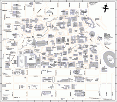
University of California at Berkeley Map
Campus map of the University of California at Berkeley. All buildings shown.
128 miles away
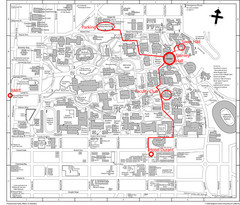
UC Berkely Campus Map
128 miles away
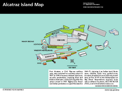
Alcatraz Island Map
Official NPS map of Alcatraz Island National Park in the San Francisco Bay, California
128 miles away
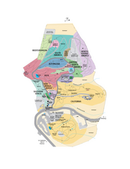
UC Botanical Gardens Map
Unfortunately this is a copy of an interactive map, so is slightly blurred at full size
128 miles away
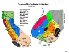
Tilden Regional Park and Native Plant Garden Map
128 miles away
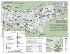
Tilden Regional Park Map - South
129 miles away
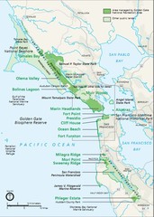
Golden Gate National Recreation Area Area Map
129 miles away
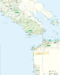
Golden Gate National Recreation Area Detail Map
129 miles away
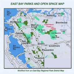
Eastbay Parks and Open Spaces Map
129 miles away
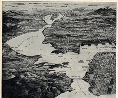
1936 San Francisco Bay Area Map Part 1
Guide to the San Francisco Bay Area in 1936, hand drawing over photograph
129 miles away
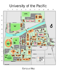
University of the Pacific Stockton Campus Map
Campus map of University of the Pacific, Stockton, California campus
130 miles away
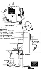
Pleasant Hill, CA Map
130 miles away
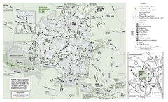
Briones Regional Park Trail Map
Trail map of Briones Regional Park in East Bay.
130 miles away
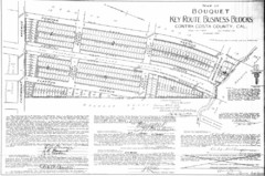
1914 Bouquet Key Route Business Block Map
This map shows the borders of the Bouquet Business District in Contra Costa County, CA
130 miles away
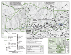
Tilden Regional Park Map - North
131 miles away
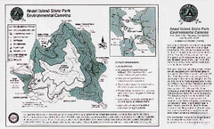
Angel Island State Park Map
Map of park with detail of trails and recreation zones
131 miles away

