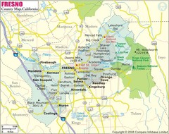
Fresno, California City Map
108 miles away
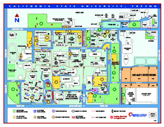
California State University - Fresno Map
California State University - Fresno Campus Map. All areas shown.
108 miles away
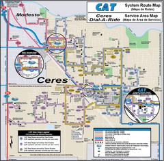
Ceres, CA Transportation Map
108 miles away
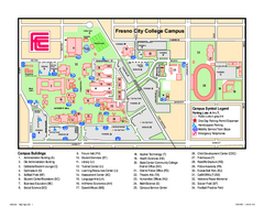
Fresno City College Campus Map
Fresno City College Campus Map. Shows all areas.
108 miles away
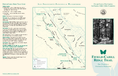
Fifield-Cahill Ridge Trail Map
Trail map and brochure of the Fifield-Cahill Ridge Trail in the San Francisco Peninsula Watershed.
109 miles away
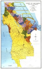
San Mateo County Map
Official county map of San Mateo, California. Scale 1"=5000'
109 miles away
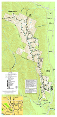
Pleasanton Ridge Regional Park Map
109 miles away
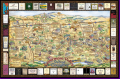
Livermore Winery Tour Map
Livermore Valley Wine Map & Visitors Guide - A great source for information about the Livermore...
109 miles away
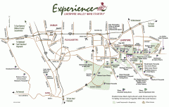
Livermore Valley Wineries, California Map
Map of wineries in Livermore Valley, California. Shows wineries, olive groves, and preserved land.
110 miles away
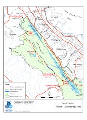
Fifield-Cahill Ridge Trail Map
Trail map of the Fifield-Cahill Ridge Trail in the San Francisco Peninsula Watershed.
110 miles away
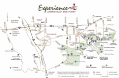
Livermore Valley Wine Map
Map showing the wineries in the Livermore Valley of California.
110 miles away
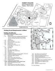
Chabot College Campus Map
Chabot College Campus Map. All buildings shown.
110 miles away
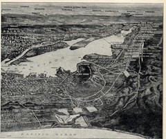
1936 San Francisco Bay Area Map Part 2
Guide to the San Francisco Bay Area, hand drawn over photograph
111 miles away

Mount Whitney Route Map
112 miles away
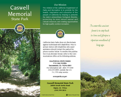
Caswell Memorial State Park Map
Map of park with detail of trails and recreation zones
112 miles away
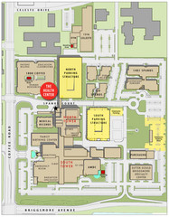
Memorial Medical Center Map
113 miles away
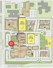
Memorial Medical Center Map
113 miles away
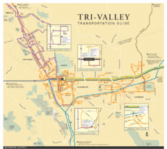
Tri Valley Transportation and Road Map
The Tri Valley cities roads and routes.
113 miles away
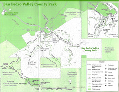
San Pedro Valley County Park Map
Trail map of San Pedro Valley County Park. 1,100 acre park with miles of trails and waterfall...
113 miles away
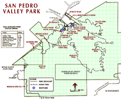
San Pedro Valley Park Map
Park map of San Pedro Valley County Park in San Mateo County, California.
113 miles away
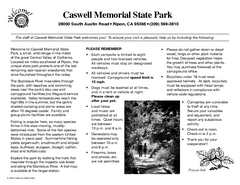
Caswell Memorial State Park Campground Map
Map of park with detail of trails and recreation zones
113 miles away
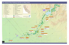
San Joaquin River Parkway Map
Map of the San Joaquin River Parkway. "The San Joaquin River Parkway is a mosaic of parks...
114 miles away
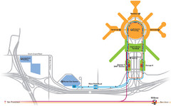
San Francisco International Airport Map
114 miles away
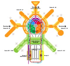
San Francisco Initernational Airport SFO Terminal...
AirTrain, airline, and gate locations map of SFO.
114 miles away
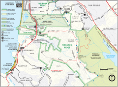
Sweeney Ridge Map
Trail map of Sweeney Ridge, part of the Golden Gate National Recreational Area.
115 miles away
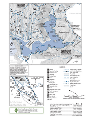
Lake Chabot Trail Map
116 miles away
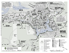
Anthony Chabot Regional Park Map - South
116 miles away
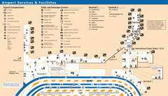
Oakland International Airport (OAK) Map
Terminal map. Shows all airport services and facilities
117 miles away

1895 San Francisco Bay Area Map
Guide to the San Francisco Bay Area in 1895
117 miles away

Turlock Lake State Recreation Area Campground Map
Map of campground region of recreation area with detail of trails and recreation zones
118 miles away
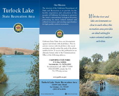
Turlock Lake State Recreation Area Map
Map of recreation area with detail of trails and recreation zones
118 miles away
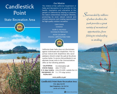
Candlestick Point Recreation Area Map
Map of park with detail of trails and recreation zones
120 miles away
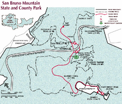
San Bruno Mountain Park Map
Park map of San Bruno Mountain State and County Park. Shows trails in northwest part of park.
120 miles away
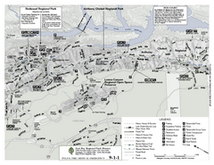
Anthony Chabot Regional Park Map - North
Trail map of the north section of Anthony Chabot Regional Park in the East Bay Hills.
120 miles away
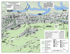
Leona Canyon Regional Open Space Preserve Map
120 miles away
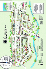
Walking Map of Downtown Danville, California
Tourist walking map of downtown Danville, California. Shows restaurants, shops, visitor's...
121 miles away
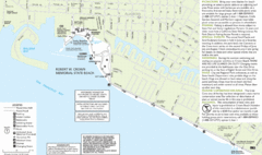
Crown Memorial State Beach Map
121 miles away
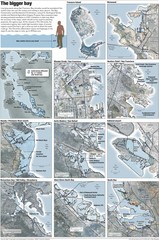
San Francisco Sea Level Rise Map
Guide to the San Francisco Bay Area, and the areas that will be underwater if there is a 1 meter...
121 miles away

California Counties Map
122 miles away


