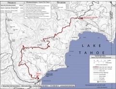
Tahoe Rim Trail: Tahoe City to Brockway Summit Map
Topographic hiking map of the Tahoe City-Brockway Summit leg of the Tahoe Rim Trail. Shows trail...
230 miles away
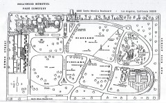
Hollywood Memorial Cemetery map
Map of Hollywood memorial Cemetery, showing celebrity gravesites.
230 miles away
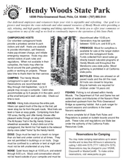
Hendy Woods State Park Campground Map
Map of campground region park with detail of trails and recreation zones
230 miles away
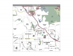
Hollywood, California Map
Tourist map of Hollywood, California. Museums, parks, visitor centers and media centers are shown...
230 miles away
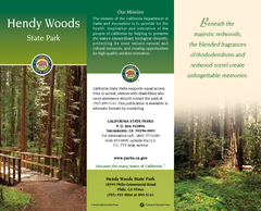
Hendy Woods State Park Map
Map of park with detail of trails and recreation zones
231 miles away
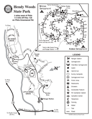
Hendy Woods State Park Map
Park map of Hendy Woods State Park in Philo, California. Shows trails, campgrounds, and other...
231 miles away
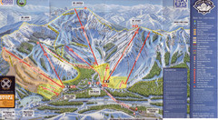
Sugar Bowl Ski Trail Map
Ski trail map of Sugar Bowl ski area from the 2008-09 season. Scanned.
231 miles away
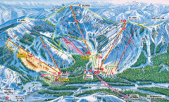
Sugar Bowl Resort Ski Trail Map
Trail map from Sugar Bowl Resort, which provides downhill and terrain park skiing. It has 12 lifts...
231 miles away
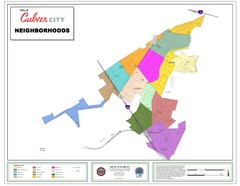
Culver City Neighborhood Map
Map shows official neighborhood zones of Culver City, California
231 miles away
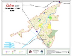
Culver City Map
General city map of Culver City, California. Shows the city boundary, schools, parks and other...
231 miles away
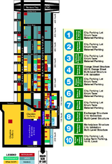
Downtown Glendale, California Map
Tourist map of downtown Glendale, California. Locations of retail, restaurants, entertainment and...
231 miles away
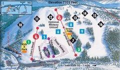
Soda Springs Ski Trail Map
Trail map from Soda Springs, which provides downhill and terrain park skiing. It has 2 lifts...
231 miles away
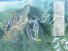
Northstar-at-Tahoe Ski Trail Map
Official trail map of Northstar-at-Tahoe ski area from the 2009-2010 season
231 miles away
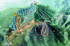
Northstar Ski Trail Map
Official ski trail map of Northstar-at-Tahoe ski area from the 2007-2008 season.
231 miles away
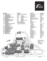
Glendale Community College Campus Map
Glendale Community College Campus Map. Shows all buildings.
231 miles away
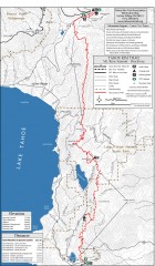
Tahoe Rim Trail: Tahoe Meadows to Spooner Summit...
Topographic hiking map of the Tahoe Meadows-Spooner Summit leg of the Tahoe Rim Trail. Shows bike...
232 miles away
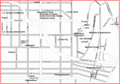
Hollywood, Silverlake, and Echo Park gallery map
Art Gallery map of Hollywood, Silverlake, and Echo Park in Los Angeles, California
232 miles away
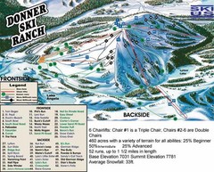
Donner Ski Ranch Ski Trail Map
Trail map from Donner Ski Ranch, which provides downhill and terrain park skiing. It has 6 lifts...
232 miles away
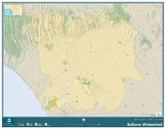
Ballona Wetlands Map
The Ballona Creek watershed, approximately 130 square miles, is the largest watershed draining into...
232 miles away
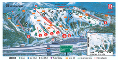
Boreal Ski Trail Map
Official ski trail map of Boreal ski area
233 miles away
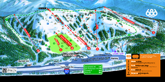
Boreal Mountain Resort Ski Trail Map
Trail map from Boreal Mountain Resort, which provides downhill, night, and terrain park skiing. It...
233 miles away
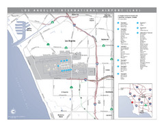
Los Angeles International Airport Area Map
Map of the Los Angeles International Airport (LAX) and surrounding area. Inset shows location of...
233 miles away
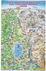
Reno and Lake Tahoe Area Golf map
Illustrated map showing all golf courses in the Reno/lake Tahoe area, 2006 version. To view more...
233 miles away
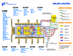
Los Angeles International Airport Terminal Map
Official Map of LAX International Airport in Los Angeles. Shows all areas.
233 miles away
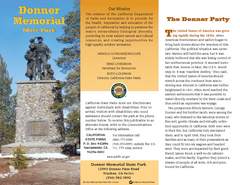
Donner Memorial State Park Map
Map of park with detail of trails and recreation zones
233 miles away
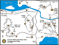
Donner Memorial State Park Campground Map
Map of park with detail of trails and recreation zones
233 miles away
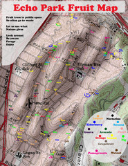
Elysian Park Fruit Map
Shows fruit growing in Elysian Park, Los Angeles (map erroneously calls it Echo Park)
233 miles away
Saddleback Butte State Park Map
Map of park with detail of trails and recreation zones
234 miles away
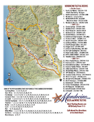
Mendocino Beer and Wine Tasting Map
Beer and wine tasting map of Mendocino county, California. Show breweries and wineries on the...
234 miles away
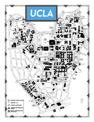
University of California - Los Angeles Map
Campus Map of the University of California - Los Angeles. All buildings shown.
234 miles away
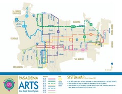
Pasadena ARTS (Area Rapid Transit System) Map
Pasadena A.R.T.S. (Metro) Route Map. System map of all train routes, streets and surrounding...
234 miles away
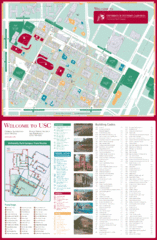
University of Southern California Map
USC campus map
235 miles away
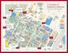
USC Campus Map
235 miles away
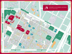
University of Southern California Campus Map
Campus map of the University Park Campus of University of Southern California (USC).
235 miles away
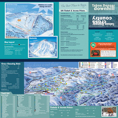
Tahoe Donner Cross Country Ski Trail Map
Ski trail map of Tahoe Donner Association. Shows both downhill and cross-country ski trails...
235 miles away
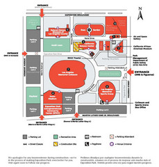
Exposotion Park Map
235 miles away
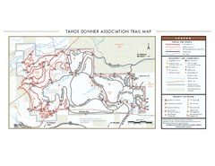
Tahoe Donner Ski Trail Map
Official ski trail map of Tahoe Donner Association. Shows both downhill and cross-country ski...
235 miles away
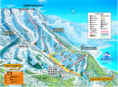
Diamond Peak Ski Trail Map
Trail map from Diamond Peak.
235 miles away

Downtown L.A. walking tour map
Walking tour map of Downtoan Los Angeles near the Civic Center, including the Arts District.
235 miles away

Tahoe Donner Ski Trail Map
Trail map from Tahoe Donner, which provides downhill, night, and nordic skiing. It has 3 lifts...
235 miles away

