
Digital Elevation Model Satellite Tahoe Map
Digital Elevation Models
223 miles away
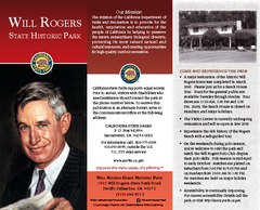
Will Rogers State Historic Park Map
Map of park with detail of trails and recreation zones
223 miles away
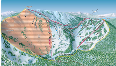
Alpine Meadows Ski Area Backside Ski Trail Map
Trail map from Alpine Meadows Ski Area, which provides downhill and terrain park skiing. It has 13...
223 miles away
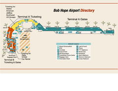
Burbank "Bob Hope" Airport Terminal Map
Official Terminal Map of Bob Hope Airport in Burbank, California. Shows all areas.
224 miles away
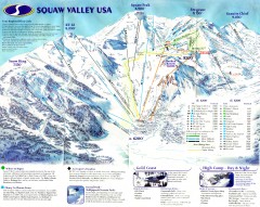
Squaw Valley Ski Trail Map
Scan of ski trail map of Squaw Valley ski area from the 2000-2001 season.
225 miles away
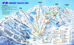
Squaw Valley USA Trail Map
Trail map of Squaw Valley ski area in Lake Tahoe, California
225 miles away
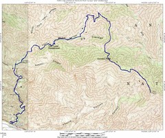
Ybarra Canyon Trail Map
Ybarra Canyon in the Angeles National Forest.
225 miles away
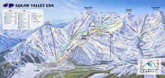
Squaw Valley USA Ski Trail Map
Trail map from Squaw Valley USA, which provides downhill, night, nordic, and terrain park skiing...
225 miles away
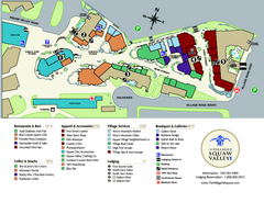
Squaw Valley Base Village Map
Village map of base of Squaw Valley Ski Resort, Lake Tahoe, California. Shows all restaurants...
225 miles away

Ronald Reagan ULCA Medical Center Building Map
Pocket map to the medical center campus
226 miles away

Ronald Reagan ULCA Medical Center Map
Pocket Map to the medical center campus
226 miles away
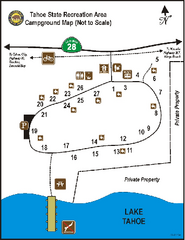
Tahoe State Recreation Area Campground Map
Map of park with detail of trails and recreation zones
226 miles away
Burton Creek State Park Map
Map of park with detail of trails and recreation zones
226 miles away
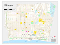
Santa Monica City Map
City map of Santa Monica, California
226 miles away
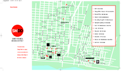
Design District, Santa Monica, California Map
Map of modern design showrooms in downtown Santa Monica, California.
226 miles away
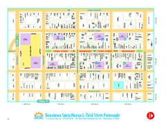
Downtown Santa Monica walking map
Detailed tourist map of Downtown Santa Monica and the Third Street Promenade in Los Angeles...
226 miles away
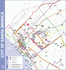
Big Blue Bus Lines in Downtown Santa Monica...
Map of bus lines serving downtown Santa Monica, California. Also shows points of interest such as...
226 miles away
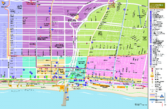
Santa Monica, California Map
Tourist map of Santa Monica, California, showing lodging, museums, visitor centers, and other...
226 miles away
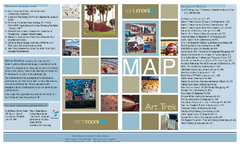
Art Trek Tour Map, Santa Monica, California
Art Trek tour map of 93 of the 120+ museums, art galleries and public displays in Santa Monica...
226 miles away
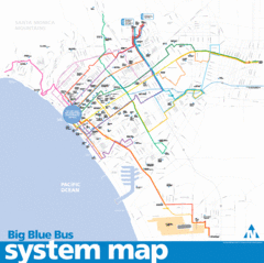
Big Blue Bus System Map
226 miles away
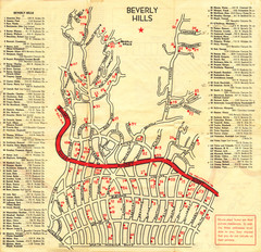
Beverly Hills stars homes map
226 miles away
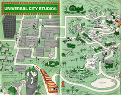
1966 Universal Studios Guide Map
227 miles away
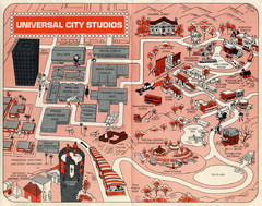
1968 Universal Studios Guide Map
A 1968tour guide map of Universal Studios
227 miles away
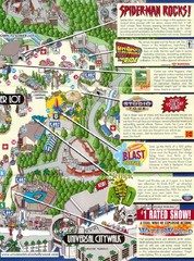
Universal Studios in Hollywood Tourist Map
Features and landmarks at Universal Studios in Hollywood, CA
227 miles away
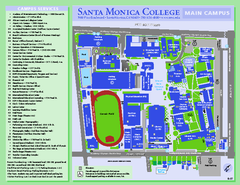
Santa Monica College Campus Map
Santa Monica College Campus Map. Shows all buildings.
227 miles away
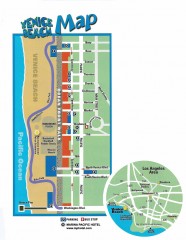
Venice Beach map
Map of Venice Beach. Shows streets and parking spots, as well as the Marina Pacific Hotel.
227 miles away
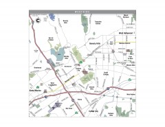
Westside Los Angeles, California Map
Tourist map of the Westside area of Los Angeles, California. Museums, parks, the UCLA campus, and...
227 miles away
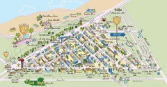
Beverly Hills, California Map
Tourist map of Beverly Hills, California. Shopping, restaurants, lodging and points of interest are...
227 miles away
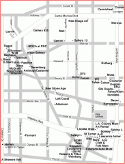
West Hollywood Art Gallery map
Art Gallery map of West Hollywood in Los Angeles
228 miles away
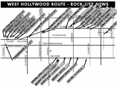
West Hollywood - Rock City News Map
Nightclubs, record stores, tattoo shops, etc.
228 miles away
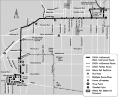
West Hollywood Area DASH Bus Routes Map
228 miles away
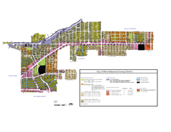
West Hollywood Zoning Map 10/08/09
228 miles away
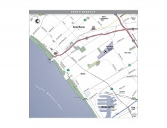
North Beach Cities, Los Angeles, California Map
Tourist map of the North Beach cities near Los Angeles, California. Beaches, shopping, and a...
228 miles away
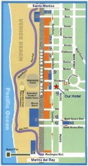
Venice Beach map
Walking map for Venice Beach in Los Angeles, California.
229 miles away
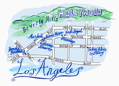
Los Angeles - hand drawn map
illustrated hand-drawn map produced for British airways - First Life magazine.
229 miles away
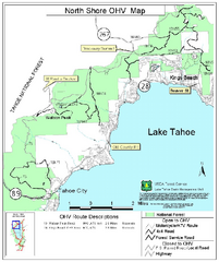
North Shore Lake Tahoe Off-Highway Vehicle Map
Off-highway vehicle map of the area around the North shore of Lake Tahoe. Roads open to motorcycles...
229 miles away
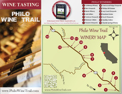
Philo Wine Map
Shows wineries great for wine tasting in the Anderson Valley along Route 128 in Philo California.
229 miles away
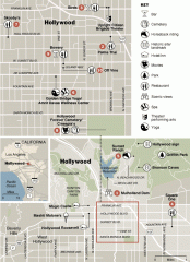
Hollywood map
Walking tour map of Hollywood, California, showing restaurants, shopping, and points of interest.
230 miles away
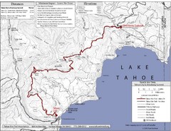
Tahoe Rim Trail Map
230 miles away
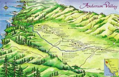
Anderson Valley Wine Map
Shows wineries/vineyards in Anderson Valley, California along Route 128 from Navarro, California to...
230 miles away

