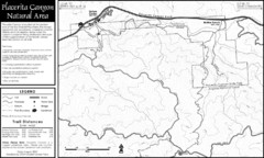
Placerita Canyon Trail Map
209 miles away
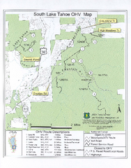
South Lake Tahoe Off-Highway Vehicle Map
Off-Highway Vehicle Map of South Lake Tahoe, California. Shows roads open to motorcycles, ATVs, and...
209 miles away
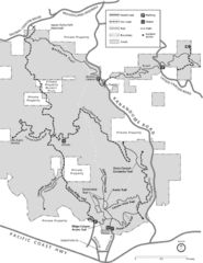
Zuma Trancas Canyon Map
Trail map of Zuma Canyon and Trancas Canyon near Malibu, CA in the Santa Monica Mountains. End of...
210 miles away
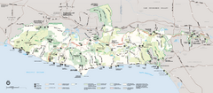
Santa Monica Mountains National Recreation Area...
Map of the entire Santa Monica Mountains National Recreation Area
212 miles away
Clear Lake State Park Map
Map of park with detail of trails and recreation zones
212 miles away
Malibu Creek State Park Campground Map
Map of campground region of park with detail of trails and recreation zones
212 miles away
Clear Lake State Park Campground Map
Map of park with detail of trails and recreation zones
212 miles away
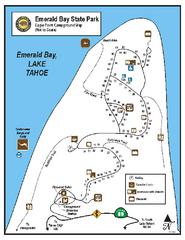
Emerald Bay State Park Campground Map
Map of park with detail of trails and recreation zones
213 miles away
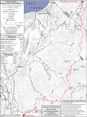
Tahoe Rim Trail: Kingsbury South to Big Meadows...
Topographic hiking map of the Kingsbury South-Big Meadows leg of the Tahoe Rim Trail. Shows...
213 miles away
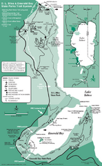
Emerald Bay State Park and DL Bliss State Park...
Trail map of Emerald Bay State Park and DL Bliss State Park on the shores of Lake Tahoe, California
213 miles away
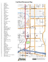
Woodland Hills, California Restaurant Map
214 miles away
D.L. Bliss State Park Map
Map of park with detail of trails and recreation zones
214 miles away
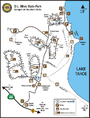
D.L. Bliss State Park Campground Map
Map of park with detail of trails and recreation zones
214 miles away
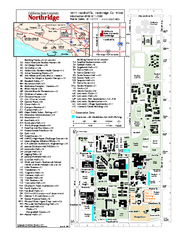
California State University at Northridge Map
Campus Map of the California State University at Northridge. All buildings shown.
214 miles away
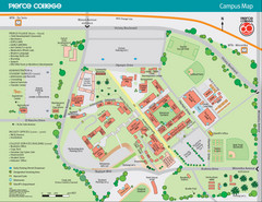
Pierce College Campus Map
Pierce College Campus Map. Located in Woodland Hills, California. Shows all areas.
215 miles away
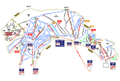
Heavenly Ski Resort Ski Trail Map
Trail map from Heavenly Ski Resort, which provides downhill, nordic, and terrain park skiing. It...
215 miles away
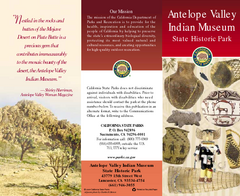
Antelope Valley State Park Map
Map of park with detail of of trails and recreation zones
216 miles away
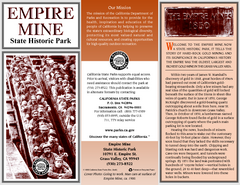
Empire Mine State Historic Park Map
Map of park with detail of trails and recreation zones
216 miles away
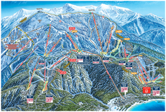
Heavenly Valley Ski Trail Map
Official ski trail map of Heavenly Valley ski area from the 2007-2008 season.
216 miles away
Nevada County Economic Resource Council Activity...
The ERC supports many different businesses in western Nevada County. We provide business assistance...
217 miles away

Sugar Pine Point State Park South Map
Map of southern region of park with detail of trails and recreation zones
217 miles away
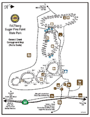
Sugar Pine Point State Park Campground Map
Map of campground region of park with detail of trails and recreation zones
217 miles away
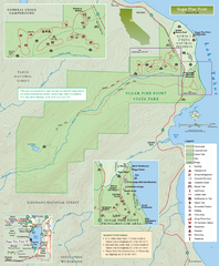
Sugar Pine Point State Park Map
Map of park with detail of trails and recreation zones
218 miles away
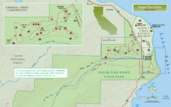
Sugar Pine Point State Park North Map
Map of northern region of park with detail of trails and recreation zones
218 miles away
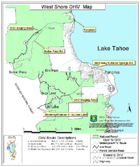
West Shore Lake Tahoe Off-highway Vehicle Map
Off-highway vehicle map of the West Shore of Lake Tahoe. Roads open to motorcycles, ATVs, and 4x4s...
218 miles away
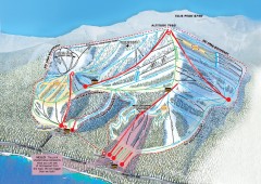
Homewood Ski Trail Map
Official ski trail map of Homewood ski area from the 2007-2008 season.
219 miles away
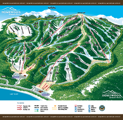
Homewood Mountain Resort Ski Trail Map
Trail map from Homewood Mountain Resort, which provides downhill and terrain park skiing. It has 7...
220 miles away

Granite Chief Wilderness Map
Trail map of Granite Chief Wilderness in Lake Tahoe region. Shows trails (inlcuding Pacific Crest...
220 miles away
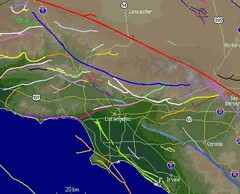
Southern California Fault Lines Map
The red line on this map of southern California is the San Andreas fault. Other lines represent...
221 miles away
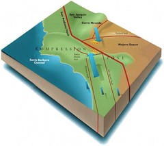
Southern California Compressional Fold Belts Map
Diagram of southern California showing the San Andreas Fault as a master player in a tectonic...
221 miles away
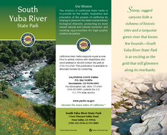
South Yuba River State Park Map
Map of park with detail of trails and recreation zones
221 miles away
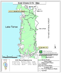
East Shore Lake Tahoe Off-highway Vehicle Map
Off-highway vehicle map of the East Shore of Lake Tahoe, California. Shows roads open to...
221 miles away
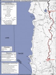
Tahoe Rim Trail: Spooner Summit to Kingsbury...
Topographic hiking map of the Spooner Summit-Kingsbury North leg of the Tahoe Rim Trail. Bike and...
222 miles away
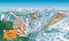
Alpine Meadows Ski Trail Map (Front)
Official ski trail map of Alpine Meadows ski area from the 2005-2006 season.
222 miles away
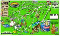
Harmony Ridge Resort Map
222 miles away
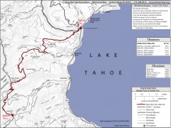
Tahoe Rim Trail: Barker Pass to Tahoe City Map
Topographic hiking map of the Barker Pass-Tahoe City leg of the Tahoe Rim Trail. Shows trailheads...
222 miles away
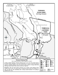
Temescal Canyon Trail Map
Trail map of Temescal Gateway Park, Temescal Canyon, and adjoining section of Topanga State Park...
222 miles away
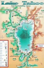
Lake Tahoe and nearby activities Map
Lake Tahoe and nearby resorts and activities
223 miles away
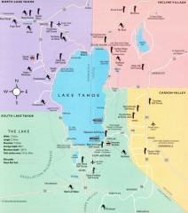
Lake Tahoe Area, California Map
Recreation map of Lake Tahoe, California. Points of interest shown include golfing, skiing, and...
223 miles away
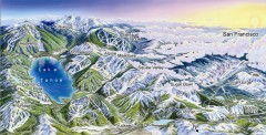
Lake Tahoe Ski Resort map
Winter map of Lake Tahoe showing relative position of all ski resorts. South-facing view. Created...
223 miles away

