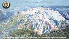
Mammoth Mountain Ski Trail map 2005
Official ski trail map of Mammoth Mountain ski area from the 2005-2006 season.
175 miles away
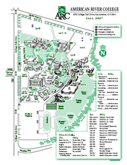
American River College Campus Map
American River College Campus Map. Shows all buildings.
176 miles away

Lake Isabella Map and Statistics
176 miles away

Lake Isabella Camping and Fishing Map
176 miles away

Sequoia (South) National Forest Visitor Map: Lake...
176 miles away

Kern River Valley Area Map
176 miles away

Upper Kern River Area Recreation Opportunities Map
176 miles away
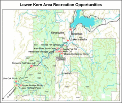
Lower Kern River (Kern Canyon) Area Recreation...
176 miles away

Lake Isabella Area Recreation Opportunities Map
176 miles away
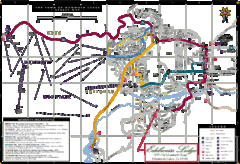
Mammoth Town Map
Map of Mammoth, including shuttle lines
177 miles away
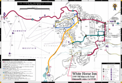
Mammoth Town Map
Town of Mammoth Lakes with shuttle lines included
177 miles away

Mammoth Mountain Downhill Skiing Trails Map
Downhill skiing trails on Mammoth Mountain, near Mammoth Lakes, California. Shows trails and their...
177 miles away
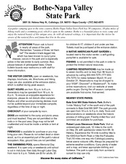
Bothe-Napa Valley State Park Map
Map of park with detail of of trails and recreation zones
177 miles away

Lake Berryessa Map
Lake Berryessa Recreational Map, Napa County, California
177 miles away

Lake Berryessa Recreation Map
Lake Berryessa Recreational Map, Napa County, California
177 miles away
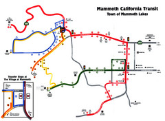
Mammoth Transit Map
Map of Mammoth transit system
178 miles away
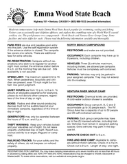
Emma Wood State Beach Campground Map
Map of campground region of park with detail of trails and recreation zones
178 miles away
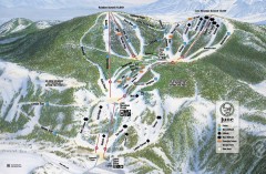
June Mountain Ski Trail Map
Official ski trail map of June Mountain ski area from the 2007-2008 season.
178 miles away
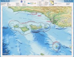
Channel Islands National Marine Sanctuary Map
Topo and bathymetric map of Channel Islands National Marine Sanctuary, located about 23 miles from...
178 miles away
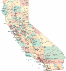
California Road Map
179 miles away
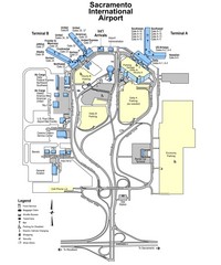
Sacramento International Airport Map
179 miles away
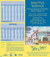
SCAT Shuttle Map: Ventura Harbor to Downtown...
Shuttle bus route map of SCAT Shuttle between Ventura Harbor and downtown Ventura, California...
179 miles away

San Buenaventura Map
180 miles away
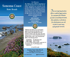
Sonoma Coast State Beach Map
Map of beach and park with detail of trails and recreation zones
180 miles away
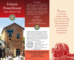
Folsom Powerhouse State Historic Park Map
Map of park with detail of trails and recreation zones
181 miles away
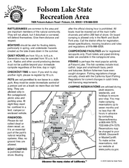
Folsom Lake State Recreation Area Campground Map
Map of park with detail of trails and recreation zones
182 miles away
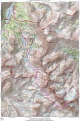
North Palisade South Lake Route Topo Map
Topo map of route from South Lake to North Palisade, 14,242 ft.
182 miles away
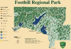
Foothill Regional Park Map
Park map of Foothill Regional Park in Sonoma County, California. Shows trails and 3 lakes.
183 miles away
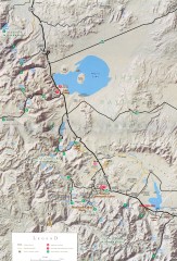
Eastern Sierra Trailhead Map - Lee Vining and...
Shows ranger stations and major trailheads in the eastern Sierra Nevada in the Mono Lake and...
183 miles away

Rockville Hills Regional Park Map
Trail Map, Two small lakes, picnic areas
184 miles away
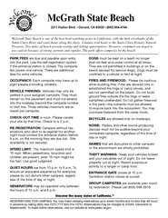
McGrath State Beach Campground Map
Map of beach and park with detail of trails and recreation zones
184 miles away
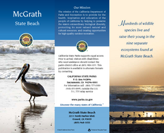
McGrath State Beach Map
Map of beach and park with detail of trails and recreation zones
184 miles away
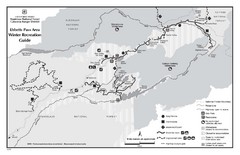
Ebbetts Pass Area Map
Guide to Winter Recreation at Ebbetts Pass
184 miles away
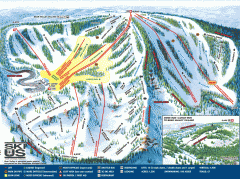
Bear Valley Ski Trail Map
Official ski trail map of Bear Valley ski area from the 2007-2008 season.
184 miles away
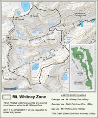
Mt. Whitney Zone Map
Zone map of Mt. Whitney area. Shows trail from Whitney Portal and Zone requiring Limited Use...
186 miles away
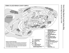
Sierra College Campus Map
Sierra College Campus Map. All buildings shown.
187 miles away
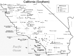
Southern California Airports Map
187 miles away
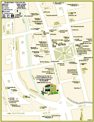
Downtown Healdsburg, California Map
Tourist maps of downtown Healdsburg, California. First map shows restaurants, galleries, wine...
188 miles away
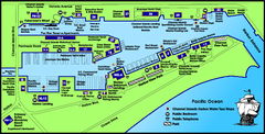
Channel Islands Harbor, California Map
Tourist map of Channel Islands Harbor, California. Shows water taxi stops, restaurants, parks, and...
188 miles away
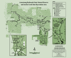
Armstrong Redwoods State Natural Reserve Map and...
Park map of Armstrong Redwoods State Natural Reserve and Austin Creek State Recreation Area in...
188 miles away

