
Census Places and Cities in Kern County...
151 miles away

Kern County, 1916 Map
Kern County, 1916 Map, from California Mineral Production for 1919 (with County Maps), Bulletin No...
151 miles away

Kern County Boat Ramps Locator Map
The numbered locations can be found at http://www.boatrampslocator.com/california-kern-county-boat...
151 miles away
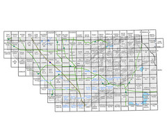
Awareness Floodplain Maps, Kern County Map
The maps labeled in blue have completed Awareness Floodplain Maps. The maps labeled in black are...
151 miles away

Kern County Map
151 miles away
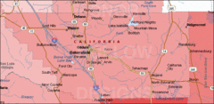
Bakersfield's Location in Kern County Map
151 miles away
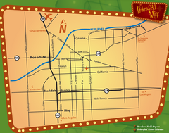
Bakersfield Overview Map
Shows major streets and highways in Bakersfield, CA
151 miles away
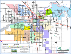
Bakersfield Police Beats Map
151 miles away

Bakersfield California 1889 Map
Map of Bakersfield, CA, showing the first subdivision of lands belonging to J. B. Haggin, 1889
151 miles away

Bakersfield E Zone map
City of Bakersfield Economic & Community Development supports economic diversity, civic growth...
151 miles away
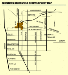
Downtown Bakersfield Redevelopment Area Map
The Downtown Redevelopment Area was established in 1972 and expanded in 1974, 1976, and 1979. It...
151 miles away

Orange Grove RV Park, Bakersfield California Map
151 miles away

Bakersfield City Limits Map
151 miles away
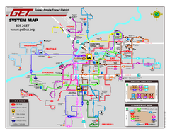
Bakersfield California Bus System Map (G.E.T. Bus)
Entire system map of all routes Golden Empire Transit offers in the City of Bakersfield, California.
151 miles away
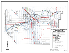
Metropolitan Bakersfield General Plan &ndash...
This map depicts the Circulation Element of the Metropolitan Bakersfield General Plan. This is a...
151 miles away
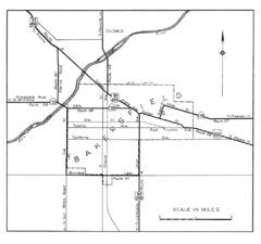
Bakersfield, 1944 Map
Official California State Division of Highways Map
151 miles away
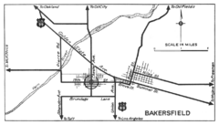
Bakersfield, 1934 Map
Official California State Division of Highways Map
151 miles away
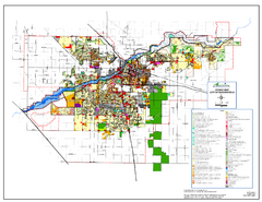
City of Bakersfield Zoning Map
This map depicts zoning for the City of Bakersfield. This map is not the official zoning map for...
151 miles away
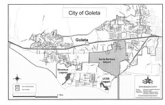
Goleta City Map
Street map of Goleta, California
151 miles away

Mt. Burdell Open Space Preserve Map
Trail map of Mt. Burdell Open Space Preserve and Olompali State Historic Park in Novato, Marin...
152 miles away
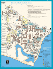
UC Santa Barbara Map
Campus map
152 miles away
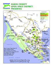
Marin Open Space Preserves Map
Shows all Open Space Preserves in Marin County, CA.
152 miles away
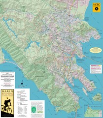
Marin, California Bike Map
152 miles away
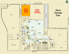
Bakersfield's Auto Swap Meet Map
152 miles away
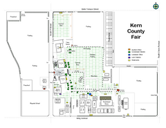
Kern County Fair Map
152 miles away
Bakersfield College Campus Map
Bakersfield College Campus Map. All buildings shown.
153 miles away
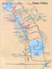
Napa Valley Tourist map
Tourist map of Napa Valley in California, showing wineries and museums in the area.
153 miles away
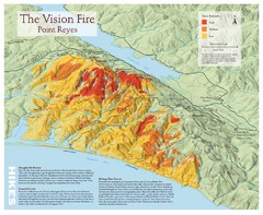
Point Reyes Vision Fire Map
Map of the burn intensity of the 1995 Vision Fire in Point Reyes National Seashore.
153 miles away
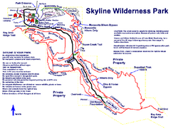
Skyline Wilderness Park Map
Trail map of Skyline Wilderness Park in Napa, California
154 miles away
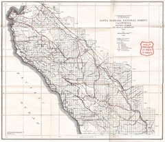
Santa Barbara National Forest 1924 Map
Los Padres National Forest Map. Prior to 1936 it was known as the Santa Barbara National Forest.
154 miles away
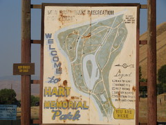
Hart Memorial Park Map
155 miles away
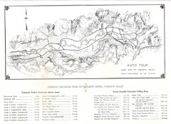
Yosemite Valley Auto Tour Map
Auto tour guide map of Yosemite, 1937
156 miles away

Santa Barbara, California City Map
157 miles away
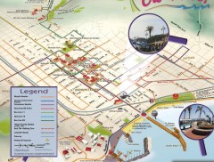
Santa Barbara Car Free Map
Shows bicycle and public transportation routes in downtown Santa Barbara, CA. Shows points of...
157 miles away
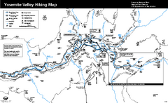
Yosemite Valley Trail Map
Trail map of hiking trails in Yosemite Valley, Yosemite National Park, California.
157 miles away

San Joaquin Valley Air Basin Map
This map is used to track air monitoring locations in periodic progress reports.
157 miles away
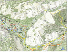
Half Dome view from Glacier Point Map
157 miles away
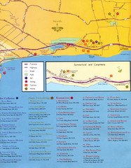
Santa Barbara Map
157 miles away

John Muir Trail Elevation Map
Profile, Elevation, Landmarks and Mileage for the John Muir Trail entertainment not accurate enough...
157 miles away
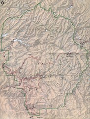
Yosemite National Park Map
Yosemite National Park Map. Shows location of all hiking trails, camp grounds, visitor center and...
157 miles away

