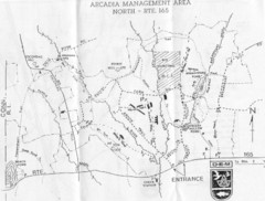
Arcadia Management Area State Map
Trail map for Arcadia Management Area in Rhode Island
64 miles away
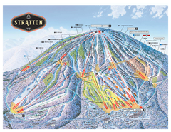
Stratton Mountain ski area trail map 2006-07
Official ski trail map of Stratton Mountain ski area from the 2006-2007 season.
64 miles away
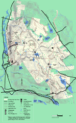
October Mountain State Forest trail map
Trail map of October Mountain State Forest in Massachusetts.
64 miles away
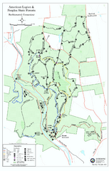
American Legion State Forest trail map
Trail map of American Legion and Peoples State Forests in Connecticut.
64 miles away
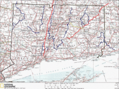
Connecticut Long Distance Trails Map
A map of long distance trails throughout Connecticut. Go to the website below for detailed trail...
64 miles away
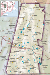
Berkshires Map
Overview map of the Berkshires region of Western Massachusetts
64 miles away
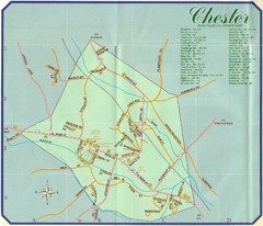
Chester Town Map
65 miles away
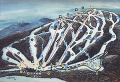
Brodie Ski Trail Map
Trail map from Brodie.
65 miles away
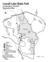
Lowell Lake State Park map
Campground map for Lowell Lake State Park in Vermont
65 miles away
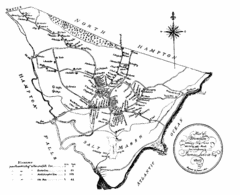
Hampton NH Map 1806
1806 map of Hampton, NH. Shows roads and settlements.
65 miles away
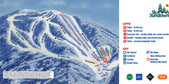
Ski Sundown Ski Trail Map
Trail map from Ski Sundown, which provides downhill and night skiing. It has 5 lifts servicing 15...
66 miles away
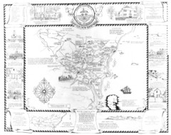
Hampton, New Hampshire Historical Map
Historical map of Hampton, New Hampshire. Illustrated map includes roads and historical buildings.
66 miles away
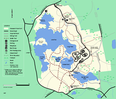
Massasoit State Park trail map
Trail map of Massasoit State Park in Massachusetts
66 miles away
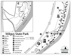
Wilgus State Park Campground Map
Campground map for Wilgus State Park in Vermont
66 miles away
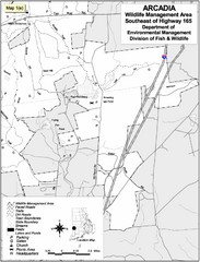
Arcadia Wildlife Management Area Map - Southeast
Reference map shows portion of Arcadia Wildlife Management Area, Rhode Island southeast of Highway...
66 miles away
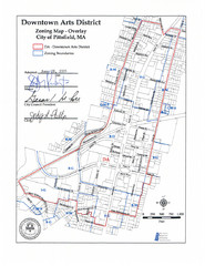
Pittsfield,, Massachusetts City Map
66 miles away
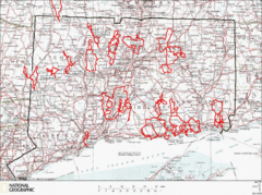
Connecticut Road Cycling Routes Map
A map of road cycling routes throughout Connecticut. Follow the link below for detailed route maps...
67 miles away
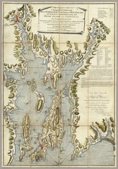
Narrangansett Bay Map 1777
"A Topographical CHART of the BAY of NARRAGANSET in the Province of NEW ENGLAND. with the...
67 miles away
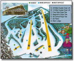
Bousquet Ski Area Ski Trail Map
Trail map from Bousquet Ski Area.
67 miles away
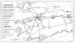
Lenox Town Map
Hand-drawn town map of Lenox, Mass. Bordered by Lenox Mountain and October Mountain. Shows points...
67 miles away
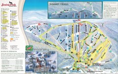
Jiminy Peak Ski Trail Map
Official ski trail map of Jiminy Peak ski area from the 2007-2008 season.
67 miles away
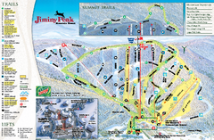
Jiminy Peak Resort Ski Trail Map
Trail map from Jiminy Peak Resort.
67 miles away
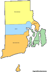
Rhode Island Counties Map
68 miles away
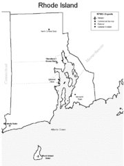
Rhode Island Airports Map
68 miles away
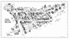
Lenox Village Map
Hand-drawn village map of historic center of Lenox, Massachusetts
68 miles away
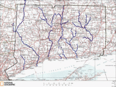
Connecticut Rivers and Coastal Paddling Map
This is a map of paddling areas for rivers and coastal kayaking. Follow the link below for...
68 miles away
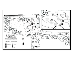
Dinosaur State Park map
Trail map of Dinosaur State Park in Connecticut.
68 miles away
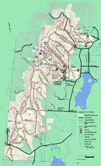
Pittsfield State Forest winter trail map
Winter use trail map of Pittsfield State Forest in Massachusetts.
68 miles away
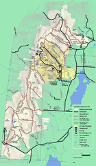
Pittsfield State Forest summer trail map
Summer use trail map of Pittsfield State Forest in Massachusetts.
68 miles away
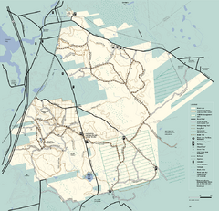
Freetown-Fall River State Forest trail map
Trail map of Freetown-Fall River State Forest in Massachusetts
68 miles away
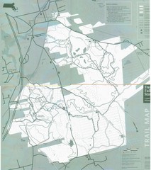
Freetown State Forest Map
Freetown State Forest Map showing mountain biking trails
68 miles away
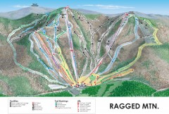
Ragged Mountain Ski trail Map
Official ski trail map of Ragged Mountain ski area from the 2007-2008 season.
69 miles away
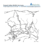
Pleasant Valley Wildlife Sanctuary Trail Map
Trail map of Pleasant Valley Wildlife Sanctuary
69 miles away

Salmon River State Forest trail map
Trail map for Salmon River State Forest in Connecticut.
69 miles away
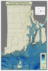
Rhode Island Shaded Bathymetry Map
Bathymetric map of Rhode Island with Narrangansett Bay and Rhode Island Sound. Graduated...
69 miles away
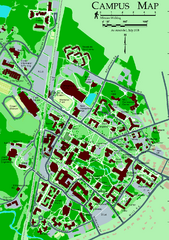
University of New Hampshire Campus Map
University of New Hampshire Campus Map
69 miles away
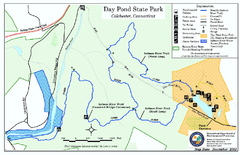
Daypond State Park map
Trail map for Day Pond State Park
69 miles away
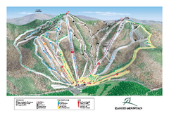
Ragged Mountain Ski Trail Map
Trail map from Ragged Mountain.
69 miles away
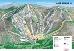
Ragged Mountain Ski Trail Map
Trail map from Ragged Mountain.
69 miles away
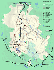
Beartown State Park Summer Map
Summer Map of Beartown State Park in Massachusetts.
69 miles away

