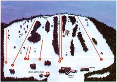
Ski Bradford Ski Trail Map
Trail map from Ski Bradford.
49 miles away
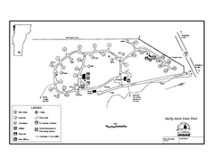
Molly Stark State Park Campground Map
Campground map for Molly State State Park in Vermont
50 miles away
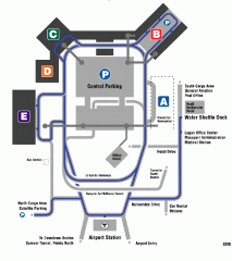
Boston/General Edward Lawrence Logan...
Terminal map of Boston/General Edward Lawrence Logan International Airport. Shows all areas.
50 miles away

Mansfield Cemetery Map
50 miles away
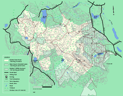
Boxford State Park trail map
Trail map of Boxford State Forest in Massachusetts
50 miles away
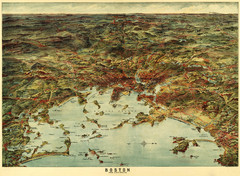
Walker's Map of Boston Harbor and Environs...
Walker's map of Boston Harbor and immediate environs from 1905.
50 miles away
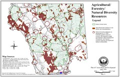
Mansfield Conservation and Development Map
Guide to Agricultural, Forestry and Natural Diversity Resources
50 miles away
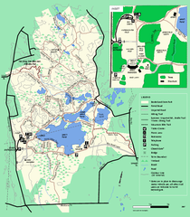
Borderland State Park trail map
Trail map of Borderland State Park in Massachusetts
51 miles away
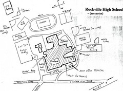
Rockville High School Map
Hand-drawn map of Rockville High School includes all buildings, Parking Lots, and sports fields.
51 miles away
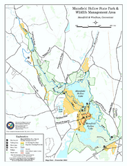
Mansfield Hollow State Park map
Map for Mansfield Hollow State Park and Wildlife Management Area in Connecticut.
51 miles away
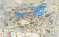
St. Paul's School Campus Map
Campus map of St. Paul's School
53 miles away
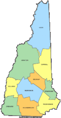
New Hampshire Counties Map
53 miles away
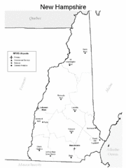
New Hampshire Airports Map
53 miles away
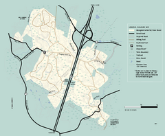
Georgetown-Rowley State Forest summer use map
Summer use map for Georgetown-Rowley State Forest.
53 miles away
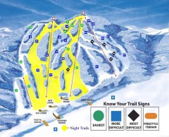
Blandford Ski Trail Map
Official ski trail map of Blandford ski area
53 miles away
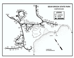
Bear Brook State Park Campground map
Campground map of Bear Brook State Park in New Hampshire
53 miles away
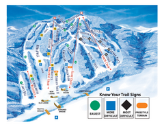
Blandford Ski Area Ski Trail Map
Trail map from Blandford Ski Area.
53 miles away
Bear Brook Trails Map
Bear Brook Park Trails and Park map in New Hampshire
53 miles away
Townshend State Park Campground Map
Campground map of Townshend State Park in Vermont
53 miles away
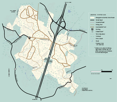
Georgetown-Rowley State Forest winter use map
Winter use map for the Georgetown-Rowley State Forest in Massachusetts.
53 miles away
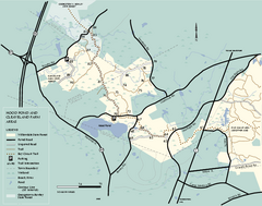
Willowdale State Forest map of Hood Pond
Trail map of the Hood Pond area of the Willowdale State Park in Massachusetts.
53 miles away
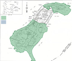
Thompson Island Easement Map
Map of Thompson Island easement. Includes roads, buildings, trails and attractions as well as the...
54 miles away
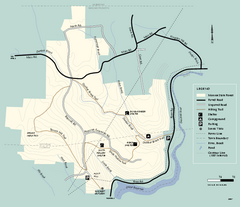
Monroe State Forest trail map
Trail map of Monroe State Forest in Massachusetts.
54 miles away
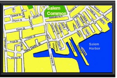
Salem, Massachusetts Guide Map
54 miles away
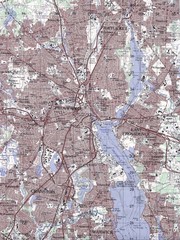
Providence Topo Map
Topo map of Providence, East Providence, Cranston, and Pawtucket, RI. Original scale 1:50,000
54 miles away
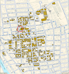
Providence, Rhode Island City Map
54 miles away
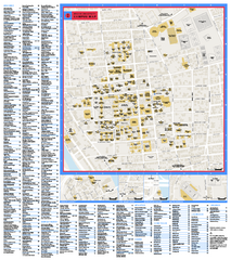
Brown University Campus Map
Official campus map of Brown University.
54 miles away
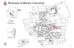
Brown University Map
54 miles away
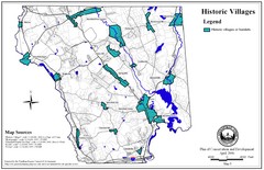
Historic Villages of Mansfield, Connecticut Map
Historical villages outlined on the map of the existing city.
54 miles away
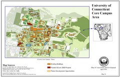
University of Connecticut Campus Map
Map shows current, funded projects and future development for UConn.
54 miles away
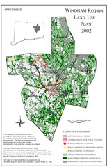
2002 Windham Region Land Use Map
Regional Land Use Guide Map for Planning Purposes
55 miles away
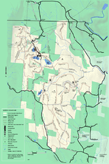
Savoy Mountail trail map
Trail map for Savoy Mountain in Massachusetts.
55 miles away
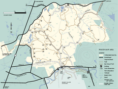
Willowdale State Forest map of Pine Swamp
Trail map of the Pine Swamp area of Willowdale State Park in Massachusetts.
56 miles away
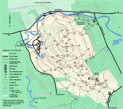
Bradley Palmer State Park winter map
Winter trail map of Bradley Palmer State Park.
56 miles away
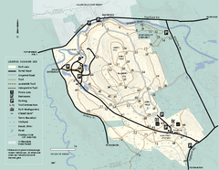
Bradley Palmer State Park summer map
Summer use map of Bradley Palmer State Park in Massachusetts
56 miles away
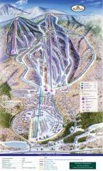
Haystack Club Ski Trail map
Official ski trail map of Haystack ski area from the 2006-2007 season.
56 miles away
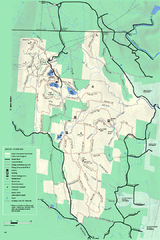
Savoy Mountain winter map
Winter use map of Savoy Mountain in Massachusetts.
56 miles away
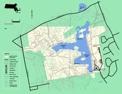
Ames Nowell State Park Map
Trail map of Ames Nowell State Park in Massachusetts
56 miles away
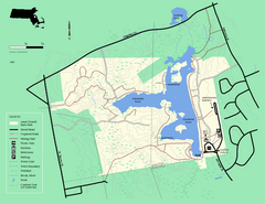
Ames Nowell State Park Map
Simple map of this beautiful state park. Visit and hike, bike, and shop!
56 miles away
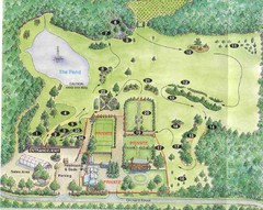
Newbury Perrenial Gardens Guide Map
57 miles away

