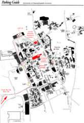
University of Massachusetts Amherst Parking Map
Map of the University of Massachusetts. Includes all buildings, streets, and parking information.
30 miles away
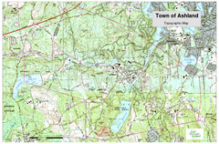
Ashland, MA - Topo Map
Map is provided by the town of Ashland, MA. See town's website for additional maps and...
30 miles away
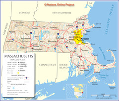
Massachusetts Road Map
30 miles away
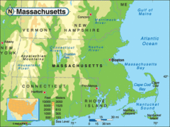
Massachusetts Rivers, Lakes, Mountains and...
30 miles away
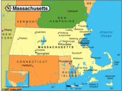
Massachusetts Cities Map
30 miles away
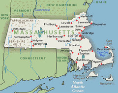
Massachusetts Cities and Mountains Map
30 miles away
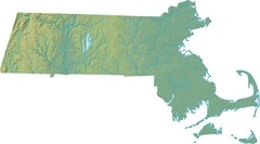
Maryland Relief Map
30 miles away
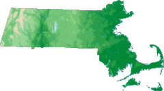
Massachusetts Elevations Map
30 miles away
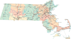
Massachusetts Road Map
30 miles away
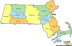
Massachusetts Counties Map
30 miles away
Massachusetts Zip Code Map
Check out this Zip code map and every other state and county zip code map zipcodeguy.com.
30 miles away
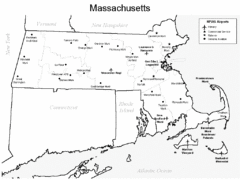
Massachusetts Airports Map
30 miles away

Mine Brook Wildlife Management Area Map
30 miles away
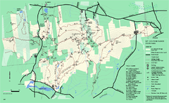
Mount Holyoke Range State Park Map
Trail map of Holyoke Range State Park.
31 miles away
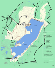
Ashland State Park Map
Clear map and legend marking trails, parking, facilities and more.
31 miles away
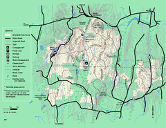
Brimfield State Forest trail map
Trail map of Brimfield State Forest in Massachusetts
31 miles away
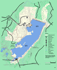
Ashland State Park Map
Map of Ashland State Park in Massachusetts.
31 miles away
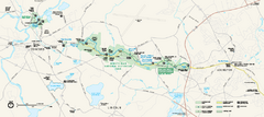
Minute Man National Historical Park Official Map
Official NPS map of Minute Man National Historical Park in Massachusetts. Map shows all areas. The...
31 miles away
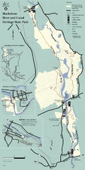
Heritage State Park Map
Clear state park map marking trails and facilities.
32 miles away
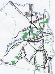
Nashua Parks Map
Map of Nashua, New Hampshire parks
32 miles away
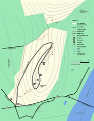
Mt. Sugarloaf State Reservation trail map
Trail map of Mount Sugarloaf State Reservation
32 miles away
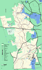
Douglas State Forest trail map
Trail map of the Douglas State Forest in Massachusetts
32 miles away
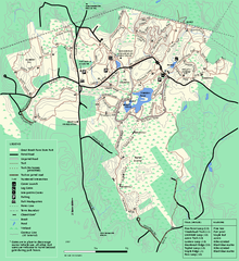
Great Brook Farm State Park trail map
Trail map of Great Brook Farm State Park.
32 miles away
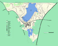
Walden Pond State Reservation trail map
Trail map of Walden Pond State Reservation
32 miles away
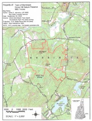
Merrimack Topo Map
A Topographical map Horse Hill Nature Preserve.
32 miles away
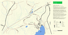
Douglas State Park Detail Map
33 miles away
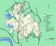
Lowell-Dracut-Tyngsboro State Forest trail map
Trail map for the Lowell-Dracut-Tyngsboro State Forest in Massachusetts
33 miles away
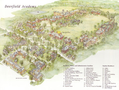
Deerfield Academy Campus Map
Shows buildings and facilities of Deerfield Academy. Scanned.
33 miles away
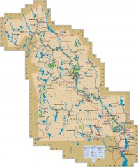
Blackstone Valley tourist map
Tourist map of the Blackston Valley in Rhode Island and Massachusetts. Shows hiking, biking, and...
34 miles away
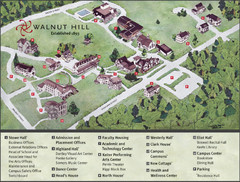
Walnut Hill School Map
Campus Map
35 miles away
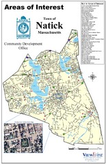
Natick Areas Of Interest Map
Shows points of interest in town of Natick, Massachusetts. Inset of downtown Natick.
35 miles away
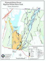
Bigelow Hollow State Park trail map
Trail map of Bigelow Hollow State Park in Connecticut.
35 miles away
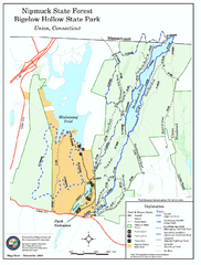
Nipmuck State Forest trail map
Trail map of Nipmuck State Forest and Bigelow Hollow State Park in Connecticut.
35 miles away
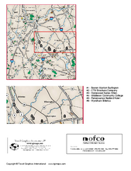
Greater Merrimack Valley, Massachusetts Map
Tourist map of greater Merrimack Valley, Massachusetts. Lodging, forests, and other points of...
35 miles away
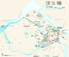
Lowell National Historical Park Official Map
Official NPS map of Lowell National Historical Park in Lowell, Massachusetts. Map shows all of...
36 miles away
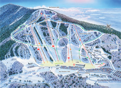
Crotched Mountain Ski Trail Map
Trail map from Crotched Mountain.
36 miles away
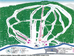
Granite Gorge Ski Trail Map
Trail map from Granite Gorge. This ski area opened in 2005.
36 miles away
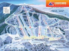
Crotched Mountain Ski Trail Map
Official ski trail map of Crotched Mountain ski area from the 2007-2008 season.
36 miles away
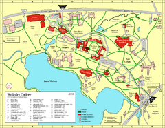
Wellesley College campus map
2008 Wellesley College campus map
36 miles away

