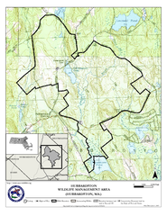
Hubbardston WMA Map
0 miles away
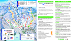
Wachusett Mountain Ski Trail Map
Trail map from Wachusett Mountain.
4 miles away
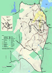
Wachusett Mountain State Reservation trail map
Trail map of Wachusett Mountain State Reservation in Massachusetts.
4 miles away
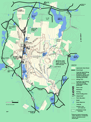
Leominster State Forest trail map
Trail map of Leominster State Forest in Massachusetts
7 miles away
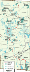
Midstate Trail Map
Map of the Midstate Trail, which runs from Ashburnham to the Rhode Island border. Shows state...
7 miles away
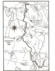
Monoosnoc Trail Map
9 miles away
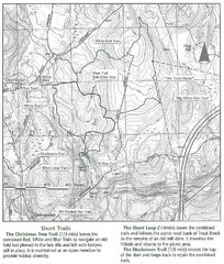
Trout Brook Conservation Area Map
9 miles away
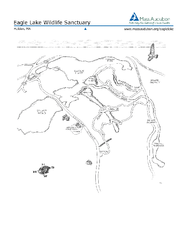
Eagle Lake Conservation Area Map
10 miles away
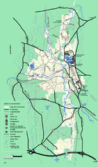
Otter River State Forest summer trail map
Summer trail map of the Otter River State Forest area in Massachusetts.
11 miles away
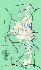
Otter River State Forest winter trail map
Winter usage trail map for Otter River State Park in Massachusetts.
11 miles away
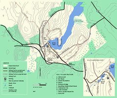
Moore State Park trail map
Trail map of Moore State Park in Massachusetts.
12 miles away
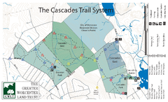
Cascades Park Map
15 miles away
Mt. Watatic to Wachusett Mountain, Massachusetts...
15 miles away
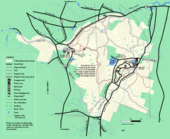
Willard Brook State Forest trail map
Trail map of Willard Brook State Forest in Massachusetts.
15 miles away
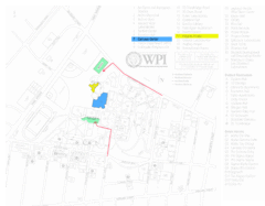
Worcester Polytechnic Institute Campus Map
Map of Worcester Polytechnic Institute. Includes all buildings, parking, streets, and location of...
17 miles away
Mt. Pisgah Map - Northboro, Berlin, Boylston Mass
18 miles away
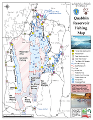
Quabbin Reservoir Fishing Map
Fishing access map of Quabbin Reservoir. Shows all ponds and submerged ponds.
18 miles away
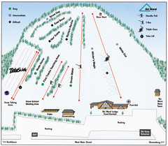
Ski Ward Ski Trail Map
Trail map from Ski Ward.
20 miles away
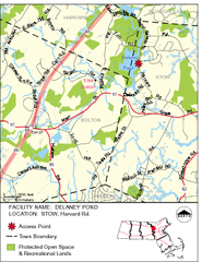
Delaney Conservation Land Map
21 miles away
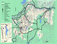
Wendell State Forest trail map
Trail map of Wendell State Forest in Massachusetts.
22 miles away
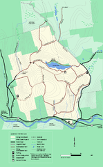
Erving State Park winter use map
Winter use map of the Erving State Park in Massachusetts
22 miles away
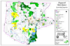
Pepperell Conservation Land and Open Spaces Map
Map showing conservation land and open spaces in Pepperell, MA.
23 miles away
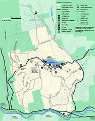
Erving Summer trail map
Summer use map of Erving State Park in Massachusetts.
23 miles away
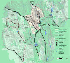
Mt. Grace State Forest trail map
Trail map of Mt. Grace State Forest near Warwick, Massachusetts.
23 miles away
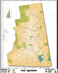
Temple NH Topo Map
Topographical map of Temple, NH area. Shows all roads and points of interest.
24 miles away
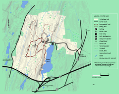
Wells State Park winter trail map
Winter use trail map of Wells State Park in Massachusetts.
25 miles away
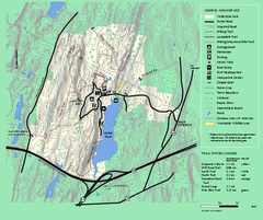
Wells State Park trail map
Trail map of Wells State Park in Massachusetts.
25 miles away
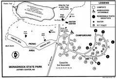
Monadnock State Park map
Campground map of Monadnock State Park in New Hampshire
25 miles away
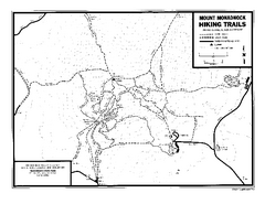
Mount Monadnock State Park Map
Official hiking map of the park. With its thousands of acres of protected highlands, 3,165-ft...
26 miles away
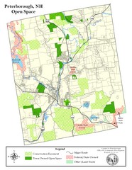
Peterborough Open Space Map
Map of open space lands in Peterborough, New Hampshire
26 miles away
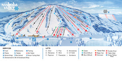
Nashoba Valley Ski Area Ski Trail Map
Trail map from Nashoba Valley Ski Area.
27 miles away
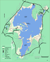
Whitehall State Park trail map
Trail map of Whitehall State Park in Massachusetts.
27 miles away
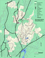
Upton State Forest trail map
Trail map for Upton State Forest in Massachusetts.
28 miles away
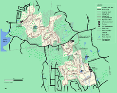
Callahan State Park trail map
Trail map of Callahan State Park in Massachusetts
28 miles away
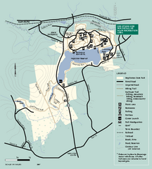
Hopkinton State Park trail map
Trail map of Hopkinton State Park in Massachusetts
28 miles away
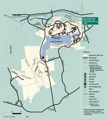
Hopkinton State Park trail map
Trail map of Hopkinton State Park in Massachusetts
28 miles away

Palmer Motorsports Park Map
Track Map for Proposed Palmer Motorsports Park
29 miles away
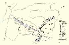
Purgatory Chasm State Reservation trail map
Trail map of Purgatory Chasm State Reservation in Massachusetts.
29 miles away
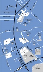
Downtown Amherst, Massachusetts Map
Tourist map of downtown Amherst, Massachusetts, showing attractions, government buildings, atms...
29 miles away
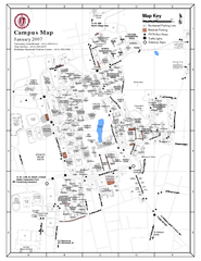
University of Massachusetts - Amherst Map
Campus Map of the University of Massachusetts - Amherst. All buildings shown.
29 miles away

