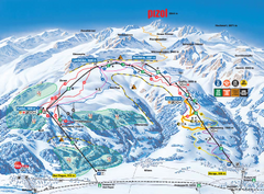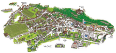
Vaduz Town Map
Tourist map of town of Vaduz, Liechtenstein. Panoramic view shows buildings and streets.
467 miles away
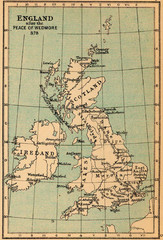
878 England Map
Guide to England after the Peace of Wedmore
467 miles away
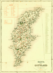
Gotland Island Map
Largest island in Sweden
467 miles away
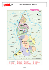
Liechtenstein Regional Map
Country map with detail of regional divides
468 miles away
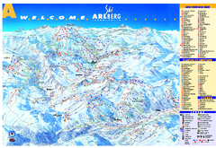
St Anton Region Ski map
Panoramic ski map covers St. Anton, St. Christoph, St. Jakob, Stuben, Zurs, Zug, Lech, and Oberlech...
468 miles away
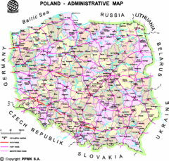
Poland Map
Map of Poland that includes all freeways, cities, districts and surrounding countries.
468 miles away
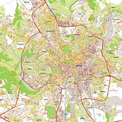
Brno Tourist Map
Tourist map of Brno, Czech Republic. Shows central Brno and surrounding area.
468 miles away
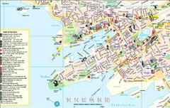
Bergen, Norway Tourist Map
468 miles away
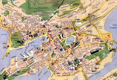
Bergen, Norway City Map
468 miles away
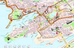
Bergen Guide Map
468 miles away
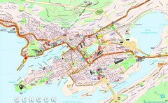
Bergen Tourist Map
Tourist map of central Bergen, Norway. Shows major buildings.
469 miles away
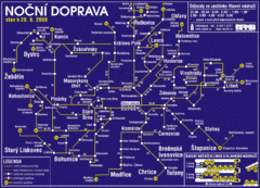
Brno Czech Republic Mass Transit Map
Mass Transit map showing all routes and stops in Brno, Czech Republic.
469 miles away
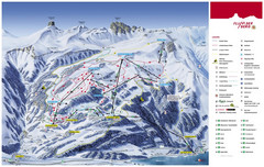
Flumserberg Ski Trail Map
Trail map from Flumserberg.
469 miles away
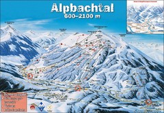
Alpbach Ski Trail Map
Trail map from Alpbach.
469 miles away
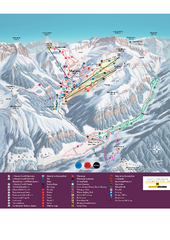
Malbun Ski Trail Map
Ski trail map of area surrounding Malbun, Liechtenstein. Also shows walking routes.
470 miles away
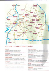
Cotswold England Tourist Map
The Cotswolds are situated in the Heart of England less than 2 Hours Drive from London. Map shows...
470 miles away
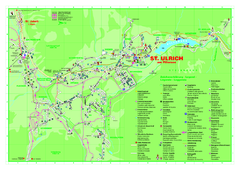
St. Ulrich am Pillersee Map
Village map of St. Ulrich am Pillersee, Austria
470 miles away
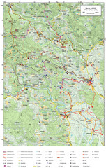
Krašić Bike Trail Map
Bike routes of the Krašić-Vivodina region.
470 miles away
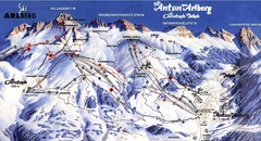
Arlberg – St Anton Ski Trail Map
Trail map from Arlberg – St Anton.
471 miles away
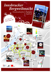
Innsbruck Christmas Markets Map
Christmas market map of Innsbruck, Austria.
471 miles away
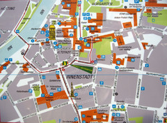
Innsbruck Tourist Map
Tourist map of inner Innsbruck, Austria. Photo of outdoor map.
471 miles away
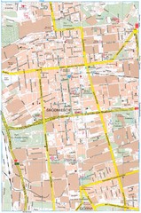
Lódź Tourist Map
Tourist map of central Lódź, Poland. Shows points of interest.
472 miles away
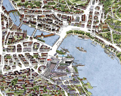
Lucerne Tourist Map
Tourist map of central Lucerne, Switzerland. 3D view showing buildings.
472 miles away
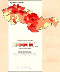
Czechoslovakia Population Density Map
Map of Czechoslovakia's population density
472 miles away
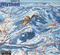
Brunni-Alpthal Ski Trail Map
Trail map from Brunni-Alpthal.
472 miles away
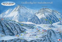
Berchtesgadener Land Ski Trail Map
Trail map from Berchtesgadener Land.
472 miles away
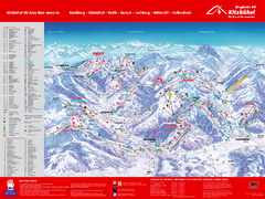
Kitzbuhel Ski Trail Map
Trail map from Kitzbuhel.
473 miles away
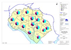
Methods of Travel in Southampton, UK Map
The methods of travel used by workers in Southampton
473 miles away
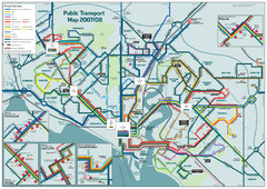
Southampton Public Transport Map
Public transport map of Southampton, England
473 miles away
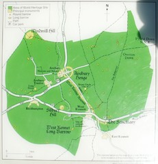
Avebury World Heritage Site Map
Map of Avebury, England showing World Heritage Site and surroundings. From photo.
474 miles away
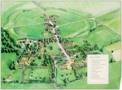
Avebury Tourist Map
Tourist map of Avebury, England. Shows Avebury Henge. From photo.
474 miles away
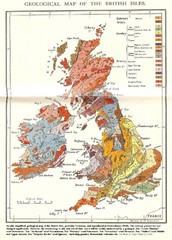
British Isles Geological Map
Old British Isles geological map
474 miles away
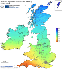
United Kingdom Solar Radiation Map
Guide to yearly total of global horizontal solar irradiation
475 miles away
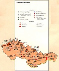
Czechoslovakia Economic Activity Map
Map of economic activity throughout region
475 miles away
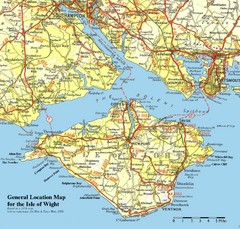
Isle of Wight Map
Based on 1950's map with no motorways
475 miles away
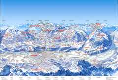
Innsbruck Region Ski Map
Shows ski regions around Innsbruck, Austria
475 miles away
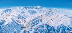
Axamer Lizum Ski Trail Map
Trail map from Axamer Lizum.
475 miles away
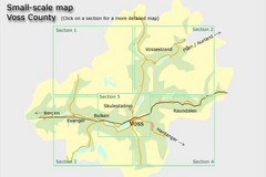
Voss County, Norway Region Map
476 miles away
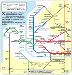
Merseyside Tube Map
476 miles away

