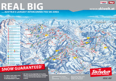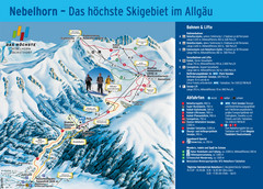
Oberstdorf Ski Trail Map
Trail map from Oberstdorf.
452 miles away
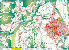
Oberstdorf City Map
City map of Oberstdorf, Germany and surrounding area. Shows buildings and ski lifts. In German.
452 miles away
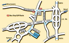
Bentley Map
Location map for Bentley. Includes roads, bus stops, and directions to Bentley Pavilion.
453 miles away
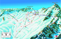
Garmisch Partenkirchen Ski Trail Map
Trail map from Garmisch Partenkirchen.
453 miles away
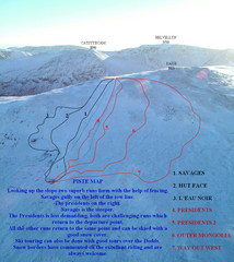
Raise Ski Trail Map
Trail map from Raise.
454 miles away
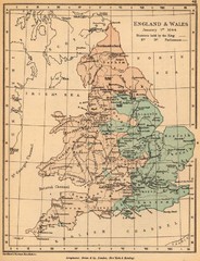
1644 England and Wales Political Map
Map showing districts held by teh King versus the Parliament during the Puritan Revolution
454 miles away
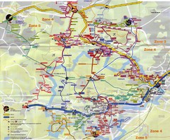
Orsay Bus Map
455 miles away
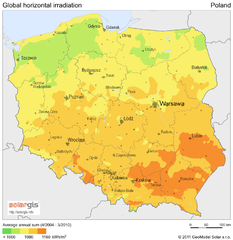
Solar Radiation Map of Poland
Solar Radiation Map Based on high resolution Solar Radiation Database: SolarGIS. On the Solar Map...
456 miles away
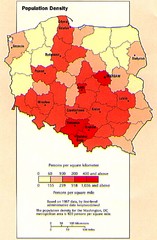
Poland Population Density Map
Map of Poland's population density
456 miles away
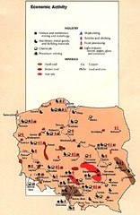
Poland Economic Activity Map
Map of Poland's economic activity
456 miles away

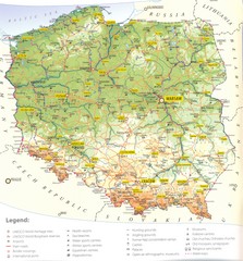
Poland Map
Map of Poland showing major roads, railroads, cities and boundaries.
456 miles away
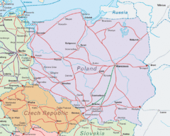
Interrail Routes in Central Europe Map
Map shows railway routes for Poland, Germany, Czech Republic and Slovakia.
456 miles away

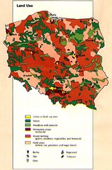
Poland Country Map
CIA Atlas of Eastern Europe - PCL Map Collection, University of Texas at Austin.
456 miles away
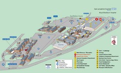
Royal Blackburn Hospital Map
Maps of Royal Blackburn
456 miles away
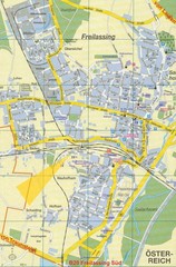
Freilassing Map
Street map of Freilassing
457 miles away
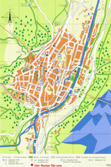
Mittenwald Tourist Map
Tourist street map
458 miles away
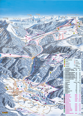
Reit im Winkl Ski Trail Map
Trail map from Reit im Winkl.
459 miles away
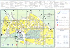
Fontainebleau Avon Map
459 miles away
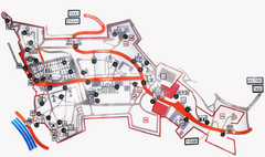
Vysehrad Tourist Map
459 miles away
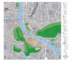
Salzburg Tourist Map
Tourist map of Salzburg, Austria. In German.
460 miles away
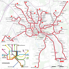
Salzburg Trolleybus Map
460 miles away
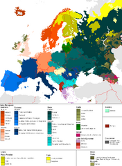
Languages of Europe Map
A map of the languages in Europe and where they originate.
461 miles away
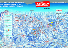
Wilder Kaiser Ski Trail Map
Trail map from Wilder Kaiser – Gosau, Scheffau, Ellmau.
462 miles away
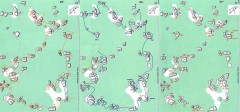
Bois-Rond Bouldering Circuit Map
From summitpost.org: "Bois-Rond is a bouldering area located in the Southern part of the...
463 miles away
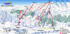
Toggenburg Ski Trail Map
Trail map from Toggenburg.
464 miles away
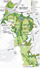
Cuerden Valley Park Map
464 miles away
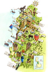
North West England Map
North West England map by Katherine Baxter
465 miles away
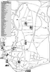
Portsmouth and Southsea Tourist Map
Tourist map of "where to go" in Portsmouth and Southsea, England. Includes photos of...
465 miles away
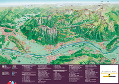
Liechtenstein Tourist Map
Tourist map of the country of Liechtenstein. Panoramic view shows all towns, trails, and mountains.
465 miles away
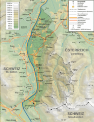
Liechtenstein topography Map
465 miles away
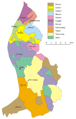
Liechtenstein Tourist Map
465 miles away
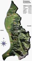
Liechtenstein Tourist Map
465 miles away
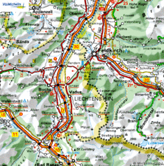
Liechtenstein road Map
465 miles away
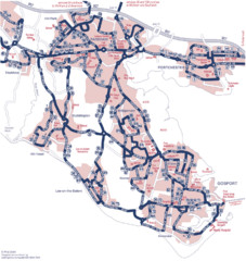
Fareham Busmap Map
Bus map of Portchester, Gosport and Fareham routes.
465 miles away
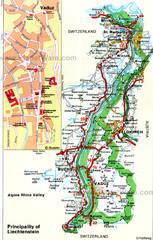
Liechtenstein Principality Map
466 miles away

