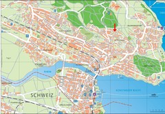
Konstanz City Map
430 miles away
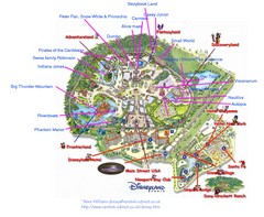
Disneyland Paris Guide Map
Locations and attractions at Disneyland Paris.
430 miles away
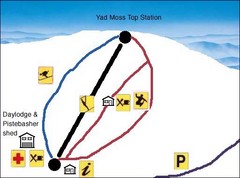
Yad Moss Sketch Ski Trail Map
Trail map from Yad Moss.
430 miles away
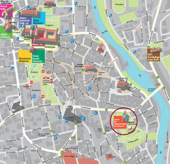
Kempten im Allgäu Tourist Map
Tourist street map of Kempten im Allgäu
431 miles away
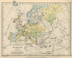
Europe 15th Century Colbeck Map
Europe during the 15th Century
431 miles away
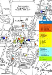
Map of the city of Garching, Germany
General visitor information including the locations of restaurants, hotels, bus stops and more.
431 miles away
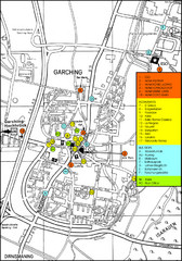
Garching Map
Map of Garching, a suburb to the north of Munich, with hotels, restaurants and bus stops marked.
431 miles away
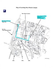
Garching Max-Planck Campus Map
Map of the Max-Planch Campus in Garching, Germany. Includes information on Accommodation and...
431 miles away
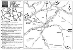
Huddersfield New College Location Map
431 miles away
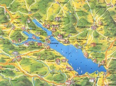
Lake Konstanz Map
431 miles away
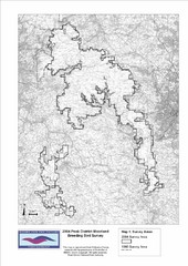
Bird Survey Map
Map of survey areas in the Peak District Moorland. Shows survey areas of 1990 and 2004.
432 miles away
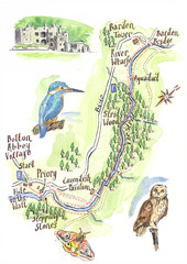
A walk around Bolton Abbey Yorkshire Map
A walk around Bolton Abbey in Yorkshire, Uk. Produced for Dales Life Magazine.
432 miles away
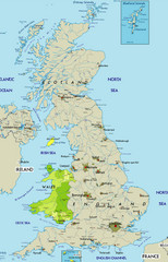
Wales Map
Guide to Wales and major cities in the United Kingdom
432 miles away

Areas Surrounding Bakewell, UK Map
Cities and areas around Bakewell, United Kingdom
432 miles away
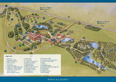
Weston Park Estate Map
432 miles away
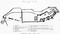
Bamburgh Castle Map
432 miles away
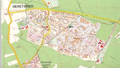
Geretsried Map
Street map of Geretsried
433 miles away
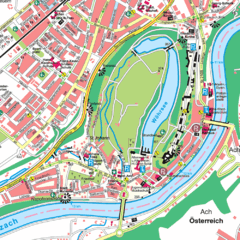
Burghausen Tourist Map
Tourist street map of Burghausen
433 miles away
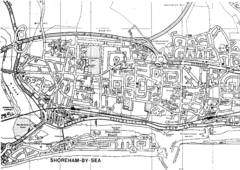
Shoreham-by-Sea, England City Map
433 miles away
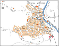
Henley-on-Thames Map
433 miles away
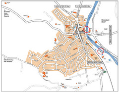
Henley-on-thames Map
Visitor Map of Henley-on-thames. Map shows location of most main roads, buildings, and parking.
433 miles away
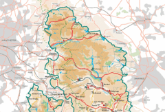
Peak District National Park Map
National Park map.
433 miles away
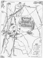
Twyford Parish Map
Footpaths and bridleways map of Twyford Parish
434 miles away
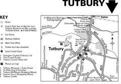
Tutbury Town Centre Map
434 miles away
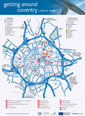
Coventry Tourist Map
Tourist map of central Coventry, England. Shows points of interest.
435 miles away
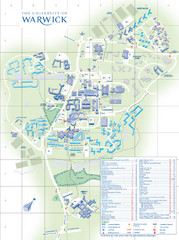
University of Warwick Campus Map
Near Coventry, West Midlands
436 miles away
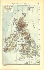
1911 British Isles Physical Map
Guide to physical features of the United Kingdom, then known as the British Isles
436 miles away
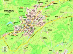
Lindenberg im Allgäu Map
Street map of Lindenberg
436 miles away
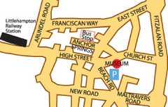
Museums in West Sussex, England Map
437 miles away
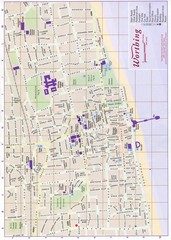
West Sussex, England Map
437 miles away
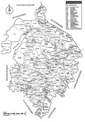
Warwichshire, England Region Map
437 miles away

Weil am Rhein Tourist Map
Tourist street map of Weil am Rhein
437 miles away
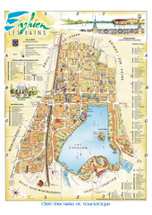
Enghien-les-Bains City Map
City map of Enghien-les-Bains, France. Located a few kilometers from Paris in the Val d’Oise...
437 miles away
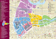
Reading Tourist Map
Tourist map of city center of Reading, England. Shows attractions and other tourist points of...
438 miles away

Schematic UK Postcode Map
Shows all postcode areas in the United Kingdom in shape of UK with London extracted.
438 miles away
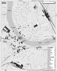
Basel Tourist Map
Tourist map of Basel, Switzerland. Shows museums, accommodations, eating, and drinking spots
439 miles away
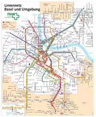
Basel Light Rail and Bus Map
439 miles away
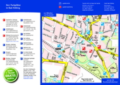
Bad Aibling Tourist Map
Tourist parking map of downtown Bad Aibling
439 miles away

