Bad Waldsee Map
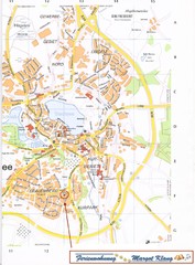
Street map of Bad Waldsee
414 miles away
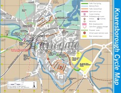
Knaresborough Cycling Map
Shows traffic free cycling routes, advisory routes, traffic calmed roads, cycle lanes, bike shops...
414 miles away
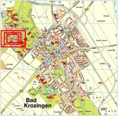
Bad Krozingen Map
Street map of Bad Krozingen
414 miles away
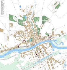
Landsberg Map
Street map of city of Landsberg
414 miles away
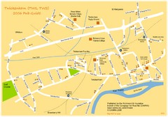
Twickenham Pub Guide Map
Map of TW1 & TW2 area
414 miles away
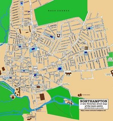
Northampton Town Map
Street map of Northampton from the late Victorian period
414 miles away
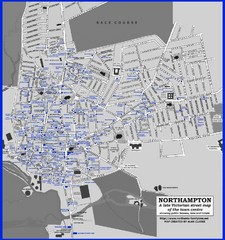
Northampton Town Map
Map of Northampton from the late Victorian period with public houses, inns, hotels, and pubs all...
414 miles away
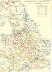
1887 - Prinicipal Railways in England and Wales...
Railways in England and Wales in 1887
415 miles away
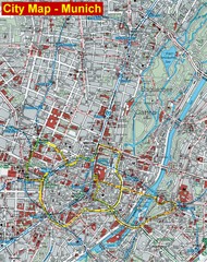
Munich City Map
City map of Munich, Germany
415 miles away
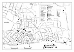
Eastbourne England Tourist Map
Central Eastbourne, England street level tourist map showing tourist sites, parks and city...
415 miles away
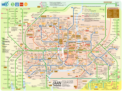
Munich Public Transportation Map
415 miles away
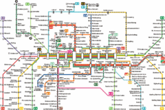
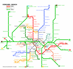
Munich Metro Map
Metro map of Munich, Germany. In German.
415 miles away
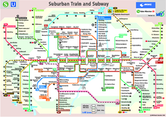
Munich public transportation system Map
This MVV network map, probably the best known one, shows all lines and stops for the urban rail and...
415 miles away
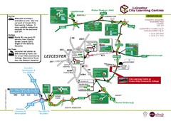
Leicester City Learning Centres Map
415 miles away
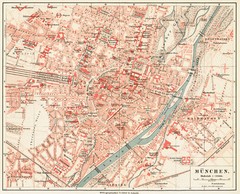
Munich Map
416 miles away
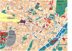
Munich Tourist Map
Tourist map of central Munich (München), Germany.
416 miles away
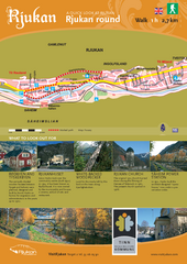
Rjukan Walking Map
Walk route map in Rjukan, Norway. Shows natural and cultural history and photos.
416 miles away
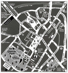
Loughborough Town Centre Map
416 miles away
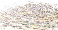
Guebviller valley panorama Map
416 miles away
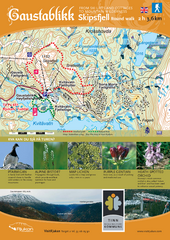
Skipsfjellet Hiking Map
Hiking trail map of Skipsfjell, Norway near Rjukan, Norway. Shows moderate 2 hour loop hike and...
416 miles away
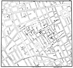
Cholera Outbreak of London Map
Map used to analyze the cholera outbreak in London, specifically South Hampton in 1853
416 miles away
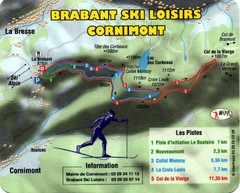
Cornimont Ski Trail Map
Trail map from Cornimont.
416 miles away
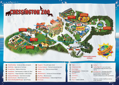
Chessington Zoo Map
417 miles away
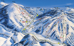
Feldberg Ski Trail Map
Trail map from Feldberg.
417 miles away
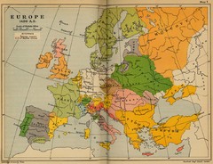
Europe 1490 Historical Map
417 miles away
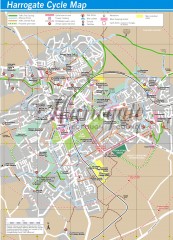
Harrogate Cycling Map
Shows traffic free cycling routes, advisory routes, traffic calmed roads, cycle lanes, bike shops...
417 miles away
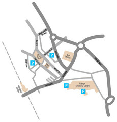
Wakefield Center Street Map
Crude street map of center of Wakefield, UK.
417 miles away
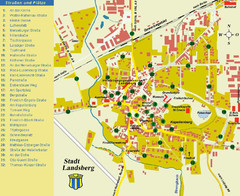
Landsberg Tourist Map
tourist map of town of Landsberg
418 miles away
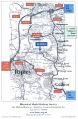
Central England Tourist Map
The area around Nottingham
418 miles away
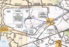
Heathrow Airport Transportation Map
418 miles away
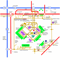
Heathrow Airport Map
418 miles away
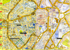
Sheffield City Center Map
418 miles away
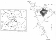
University of Leeds Campus Map
Various buildings on the University of Leeds campus
418 miles away
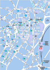
Sheffield City Map
City centre map of Sheffield, England. Shows parking, ATMs, and other points of interest.
418 miles away
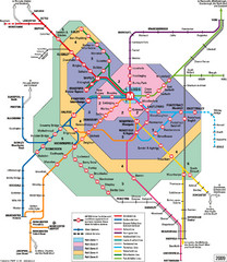
Leeds Metro Train Diagram Map
Metro system map for Leeds, England and surrounding cities.
418 miles away
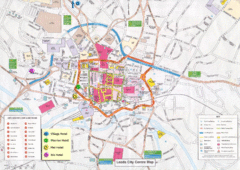
Leeds Tourist Map
Tourist map of city center of Leeds, UK
418 miles away
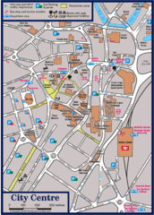
Sheffield Tourist Map
Tourist map of the city center of Sheffield, England.
418 miles away

