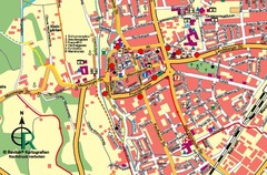
Colmar 1 Map
405 miles away
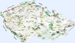
Czech Republic Castle map
Castle map of the Czech Republic
405 miles away
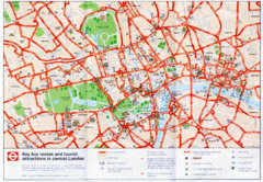
London Bus and Tourist Map
Key bus routes and tourist attractions in central London. Scanned.
405 miles away
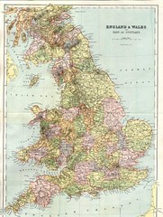
England and Wales Map
Guide to England, Wales and part of Scotland, showing counties
406 miles away
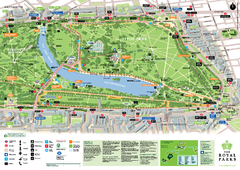
Hyde Park Map
406 miles away
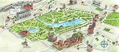
London Hyde Park map
Map of London, showing Hyde park.
406 miles away
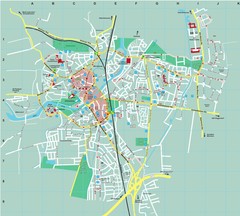
Dachau City Map
City street map of Dachau
406 miles away
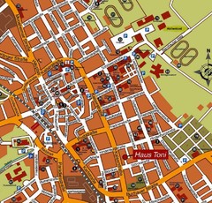
Bad Saulgau Tourist Map
Tourist street map of Bad Saulgau town center
406 miles away
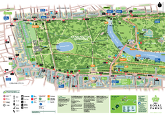
Kensington Gardens Map
406 miles away
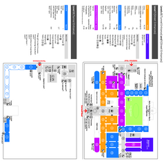
The Victoria & Albert Museum Floor plan Map
Map of The Victoria & Albert Museum in London. Shows entrances and exhibits.
406 miles away
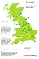
United Kingdom Map
407 miles away
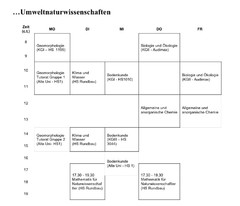
Test Map
408 miles away
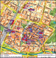
Frieburg Tourist Map
408 miles away
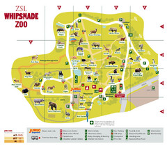
Whipsnade Zoo Map
408 miles away
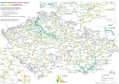
Elevation Railway Map of Czech Republic
Elevation of railways and main stations in Czech republic. Blue numbers show elevation of stations...
408 miles away
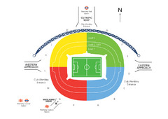
UK Wembley Stadium Map
409 miles away
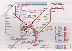
St. Georges Hospital Bus Services Map
409 miles away
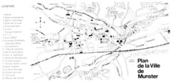
Munster Map
409 miles away
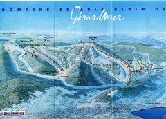
Gérardmer Ski Trail Map
Trail map from Gérardmer.
409 miles away
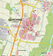
Garching bei München Map
Street map of Garching bei München
409 miles away
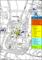
Garching Tourist Map
Tourist map of Garching bei Munchen, Germany. Shows hotels, restaurants and the most important bus...
409 miles away
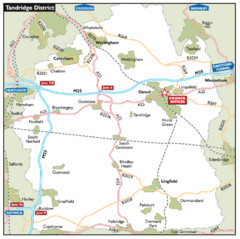
Tandridge District, England Region Map
409 miles away
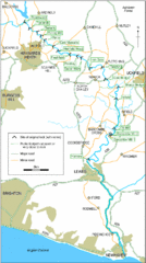
East Sussex, England City Map
409 miles away
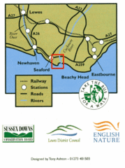
East Sussex, England Bus System Route Map
409 miles away
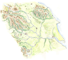
Yorkshire topography Map
410 miles away

River Thames Map
River Thames Map, illustrated by Katherine Baxter for the Runnymede-on-Thames Hotel as a 8 metre...
410 miles away
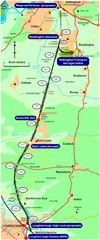
Nottingham Transport Map
A map showing train stations in Loughborough to Nottingham. Includes surrounding roads, towns...
411 miles away
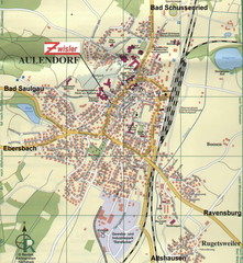
Aulendorf Map
Street map of city of Aulendorf
411 miles away
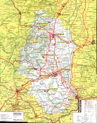
Alsace - Haut Rhin Map
411 miles away
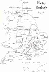
Tudor England Counties Map
Guide to the counties of England under Tudor reign
411 miles away
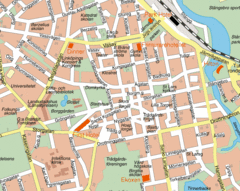
Linkoping City Center Map
Map of city center
412 miles away
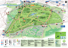
Richmond Park Map
412 miles away
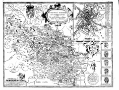
1610 Yorkshire County Historical Map
A 1610 map of Yorkshire Country in the United Kingdom
412 miles away
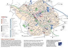
Milton Keynes Region Tourist Map
Tourist map of region around Milton Keynes, UK. Shows railway stations, out of town shopping, and...
412 miles away
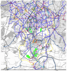
Cheam Bus Route Map
Olympic Bid 2016 - Bus Route Map
413 miles away
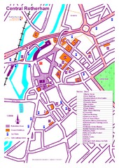
Central Rotherham Map
413 miles away

DTb Master Diagram (early draft) Map
DUKERIES THINKBELT: MASTER DIAGRAM All elements and key
414 miles away
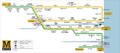
Tyne and Wear Metro Route Map
Map of metro transit routes throughout Tyne and Wear
414 miles away
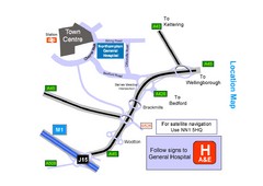
Central Northampton, England Tourist Map
Central Northampton in England
414 miles away

