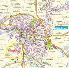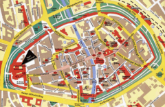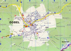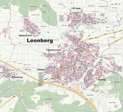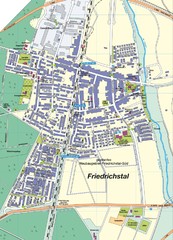
Friedrichstal Map
Street map of town of Friedrichstal
330 miles away
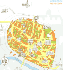
Herrieden Map
Street map of town center of Herrieden
330 miles away
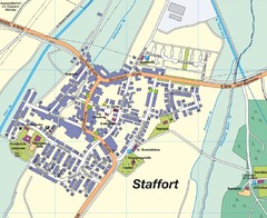
Staffort Map
Street map of town of Staffort
330 miles away
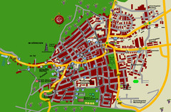
Bad Bergzabern Tourist Map
Tourist street map of Bad Bergzabern
331 miles away
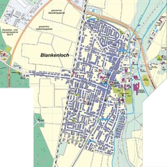
Blankenloch Map
Street map of town of Blankenloch
332 miles away
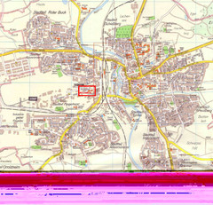
Crailsheim Map
Street map of Crailsheim region
332 miles away
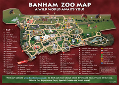
Banham Zoo Map
333 miles away
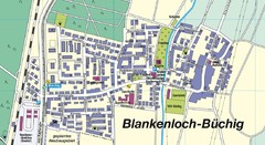
Buechig Map
Street map of town of Buechig
333 miles away
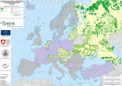
National Ecological Networks of European...
Shows core areas and ecological corridors in European countries with Ecological Network plans. By...
335 miles away
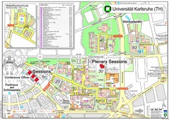
Karlsruhe University Campus Map
Campus map of Universität Karlsruhe, the oldest Technical University in Germany, founded in...
336 miles away
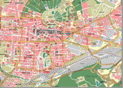
Karlsruhe Map
City street map of Karlsruhe
336 miles away
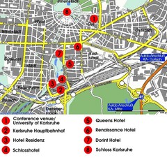
Karlsruhe Hotel Map
336 miles away
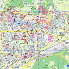
Karlsruhe Tourist Map
Tourist map of Karlsruhe
336 miles away
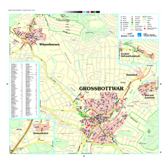
Großbottwar Map
Street map of Großbottwar and surrounding area
337 miles away
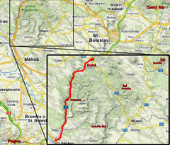
Czech Republic Tourist Map
338 miles away
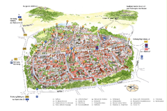
Neumarkt in der Oberpfalz Map
Tourist map of city center of Neumarkt in der Oberpfalz, Germany. In German
339 miles away
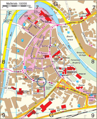
Backnang City Map
Street map of Backnang city center
342 miles away
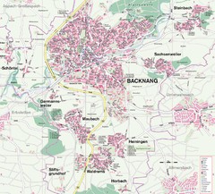
Backnang Region Map
Street map of Backnang and surrounding area
342 miles away
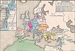
Old Map of Europe - 12th century
342 miles away
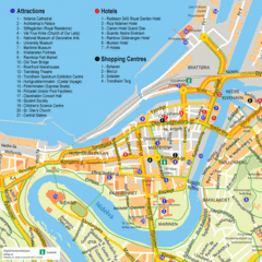
Jonkoping Tourist Map
Tourist map of city center
343 miles away
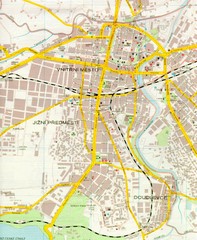
Plzen City Map
City map of Plzen, Czech Republic. Scanned.
348 miles away
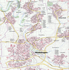
Waiblingen Map
City map of Waiblingen and surrounding region
349 miles away
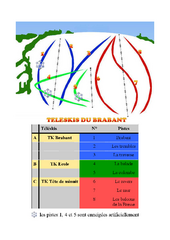
Brabant Ski Trail Map
Trail map from Brabant.
350 miles away
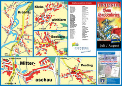
Neunburg vorm Wald District Map
Tourist street map of districts of Neunburg
350 miles away
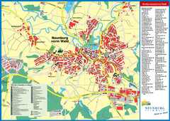
Neunburg vorm Wald Map
Tourist street map of Neunburg vorm Wald
350 miles away

Broadstairs Tourist Map
351 miles away
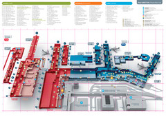
Praugue Airport Map
352 miles away
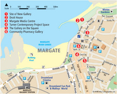
Margate Tourist Map
Tourist map of Margate, England.
352 miles away
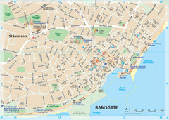
Ramsgate Tourist Map
Near Kent, England
352 miles away
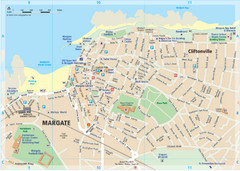
Margate TouristMap Map
353 miles away
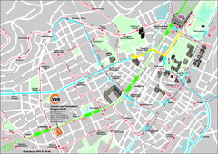
Stuttgart Street Map
Street map of Stuttgart, Germany. Show major buildings and public transport routes.
353 miles away
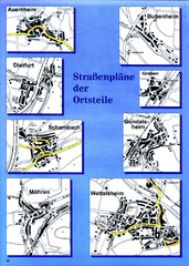
Treuchtlingen Districts Map
Street map of districts within the Treuchtlingen region
353 miles away
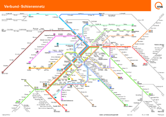
Stuttgart, Nahverkehr Map
353 miles away
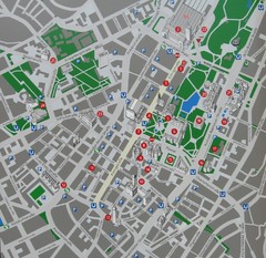
Stuttgart Tourist Map
Tourist street map of Stuttgart center
353 miles away
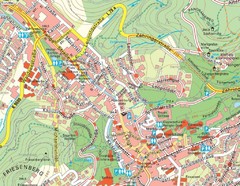
Baden Baden Street Map
Street map of city of Baden Baden
354 miles away

