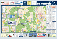
Braunfels Tourist Map
Tourist map of Braunfels and surrounding area
94 miles away
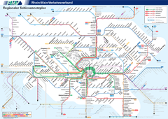
Frankfurt Nahverkehr Map
94 miles away
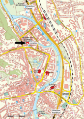
Frankfurt Tourist Map
94 miles away
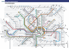
Frankfurt Subway Map (German)
94 miles away
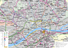
Frankfurt Public Transportation Map
Public transportation map of central Frankfurt, Germany. Shows bus and train routes.
94 miles away
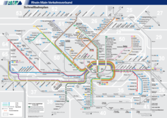
Frankfurt Nahverkehr Map
94 miles away
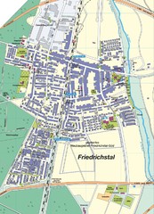
Friedrichstal Map
Street map of town of Friedrichstal
94 miles away
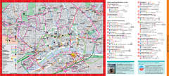
Frankfurt City Map
95 miles away
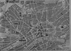
Frankfurt City Map
City map of Frankfurt
95 miles away
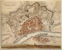
Frankfurt City Map 1840
95 miles away
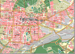
Karlsruhe Map
City street map of Karlsruhe
95 miles away
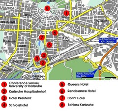
Karlsruhe Hotel Map
95 miles away
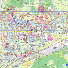
Karlsruhe Tourist Map
Tourist map of Karlsruhe
95 miles away
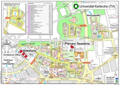
Karlsruhe University Campus Map
Campus map of Universität Karlsruhe, the oldest Technical University in Germany, founded in...
95 miles away
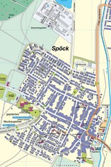
Spoeck Map
Street map of town of Spoeck
95 miles away
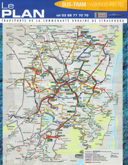
Strasbourg Bus and Tram Map
95 miles away
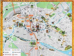
Strassburg Tourist Map
Tourist map of central Strassburg, France. Shows streets, trams, and major buildings. Scanned.
95 miles away
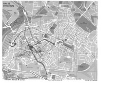
Strasbourg Map
Shows bus and tram itineraries to the Brethren Colleges Abroad office from the train station and...
95 miles away
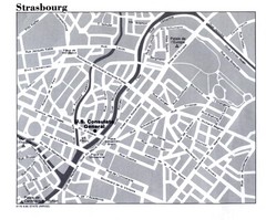
Strasbourg City Map
City map of part of Strasbourg, France. Shows US Consulate.
95 miles away
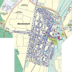
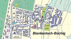
Blankenloch Map
Street map of town of Blankenloch
96 miles away

Strasbourg Map
96 miles away
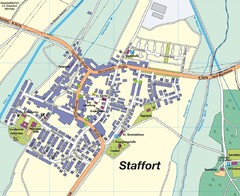
Staffort Map
Street map of town of Staffort
96 miles away
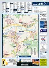
Solms Tourist Map
Tourist map of Solms and surrounding region
96 miles away
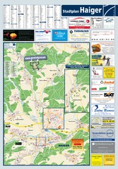
Haiger Tourist Map
Tourist map of Haiger and surrounding area
97 miles away
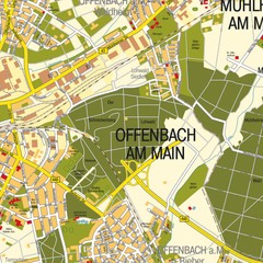
Offenbach am Main Map
Street map of Offenbach am Main
98 miles away
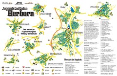
Herborn Tourist Map
Tourist map of Herborn and surrounding area
98 miles away

Western Strasbourg Tourist Map
98 miles away
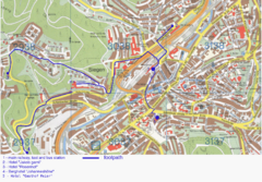
Siegen Street Map
Street map of part of Siegen, Germany. With annotations in English.
99 miles away
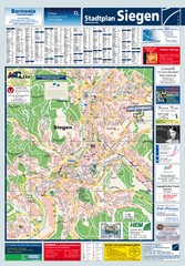
Siegen Tourist Map
Tourist map of Siegen and surrounding region
99 miles away
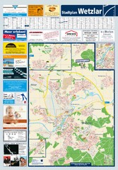
Wetzlar Tourist Map
Tourist map of Wetzlar and surrounding region
99 miles away
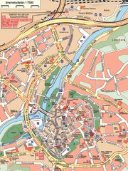
Wetzlar Center Map
Street map of town center of Wetzlar
99 miles away
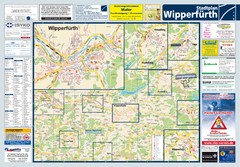
Wipperfuerth Tourist Map
Tourist map of Wipperfuerth and surrounding region
100 miles away
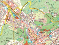
Baden Baden Street Map
Street map of city of Baden Baden
100 miles away
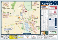
Karben Tourist Map
Tourist map of Karben and surrounding region
101 miles away
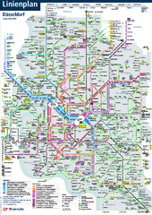
Dusseldorf Public Transport Network Map
Official Rheinbahn map shows municipal-rail, light rail and tramway system, as well as a close-knit...
102 miles away

Alsace - Bas Rhin Map
102 miles away

