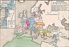
Old Map of Europe - 12th century
124 miles away
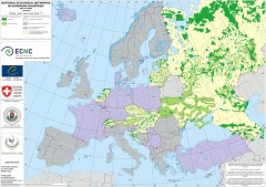
National Ecological Networks of European...
Shows core areas and ecological corridors in European countries with Ecological Network plans. By...
126 miles away
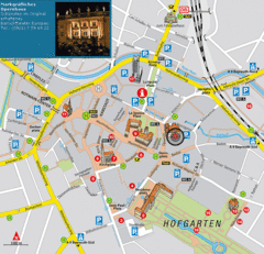
Bayreuth Tourist Map
Tourist map of Bayreuth town center
126 miles away
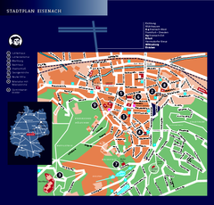
Eisenach Tourist Map
Tourist street map of Eisenach
126 miles away
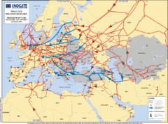
Europe Proposed Natural Gas Pipelines Map
The priority axes for natural gas pipelines, which involve INOGATE Participating Countries and...
128 miles away
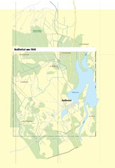
Naßlettel Map
131 miles away
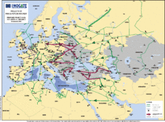
Proposed European Crude Oil Pipelines Map
Shows pan-European proposed priority axes for crude oil pipelines
136 miles away
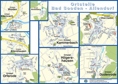
Bad Sooden-Allendorf Towns Map
Street maps of towns within the Bad Sooden-Allendorf region
137 miles away
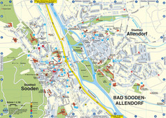
Sooden-Allendorf Map
Street map of Sooden and Allendorf
137 miles away

Goettingen Map
map of downtown Goettingen.
137 miles away
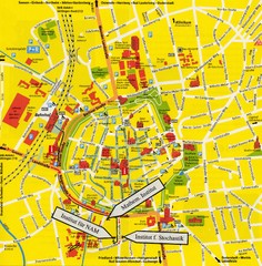
Gottingen City Map
City map of Gottingen with school buildings highlighted
137 miles away
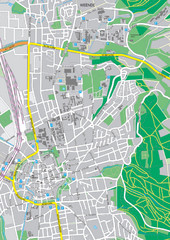
Göttingen City Map
City map of Göttingen, Germany
138 miles away
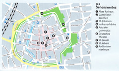
Gottingen Map
138 miles away
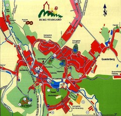
Burg Stargard Tourist Map
tourist map of Burg Stargard
139 miles away
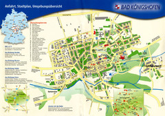
Bad Konigshofen Toursit Map
Tourist map of Bad Konigshofen
142 miles away
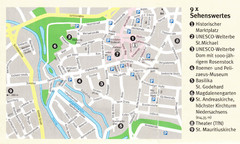
Hildesheim Map
143 miles away
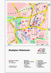
Hildesheim Center Tourist Map
Tourist street map of Hildesheim city center
143 miles away
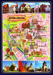
Hildesheim Tourist Map
Tourist map of downtown Hildesheim
143 miles away
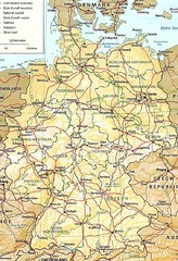
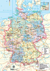
Germany Map
Map of Germany showing roads, railways and cities.
144 miles away
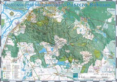
Map_Puszcza_Bukowa_Szczecin_PL.jpg Map
Map Map_Puszcza_Bukowa_Szczecin_PL.jpg is a tourist map made with an extensive use of GlobalMapper...
145 miles away
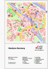
Bamberg Tourist Map
Tourist map of downtown Bamberg
147 miles away
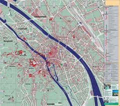
Bamberg City Map
City map of Bamberg, Germany
147 miles away
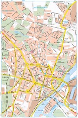
Szczecin Tourist Map
Tourist map of central Szczecin, Poland. Shows points of interest.
147 miles away
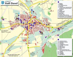
Dassel Tourist Map
Tourist street map of Dassel
149 miles away

Zeil am Main Tourist Map
Tourist street map of Zeil am Main and surrounding region
150 miles away
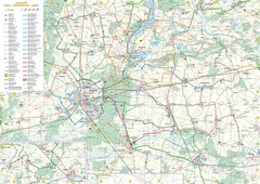
mapa rowerowa okolice leszna Map
151 miles away
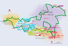
Niedersachsen Spargelstrasse Map
151 miles away
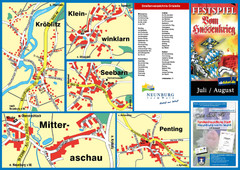
Neunburg vorm Wald District Map
Tourist street map of districts of Neunburg
151 miles away
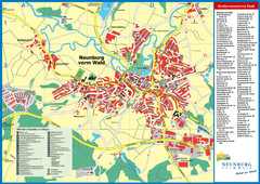
Neunburg vorm Wald Map
Tourist street map of Neunburg vorm Wald
151 miles away
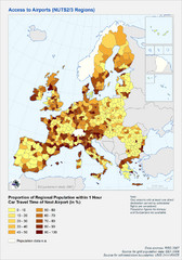
Travel Times to Airports in Europe Map
Shows proportion of car travel time to nearby airports across Western Europe
151 miles away
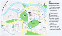
Celle Map
152 miles away
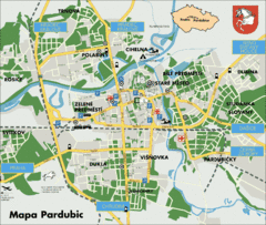
Pardubice Tourist Map
Tourist map of Pardubice, Czech Republic
153 miles away
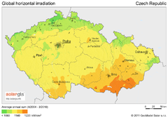
Solar Radiation Map of Czech republic
Solar Radiation Map Based on high resolution Solar Radiation Database: SolarGIS. On the Solar Map...
154 miles away

