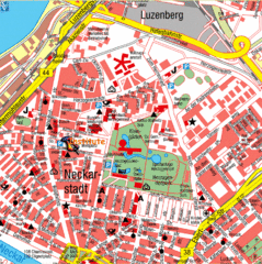
Mannheim Tourist Map
Tourist map of central Mannheim, Germany. Shows points of interest.
87 miles away
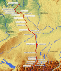
Romantische Strasse Map
87 miles away

Bad Durkheim Tourist Map
Tourist map of Bad Durkhiem
88 miles away
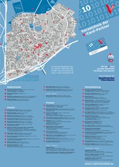
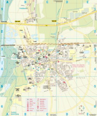
Viernheim Tourist Map
Tourist map of city of Viernheim
88 miles away
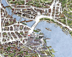
Lucerne Tourist Map
Tourist map of central Lucerne, Switzerland. 3D view showing buildings.
88 miles away
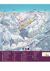
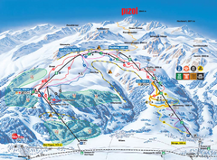
Malbun Ski Trail Map
Ski trail map of area surrounding Malbun, Liechtenstein. Also shows walking routes.
89 miles away
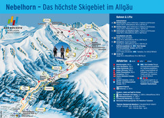
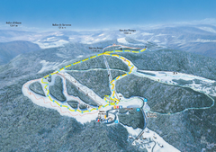
Oberstdorf Ski Trail Map
Trail map from Oberstdorf.
89 miles away
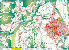
Oberstdorf City Map
City map of Oberstdorf, Germany and surrounding area. Shows buildings and ski lifts. In German.
89 miles away
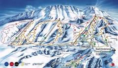
Oberjoch-Unterjoch Ski Trail Map
Trail map from Oberjoch.
90 miles away
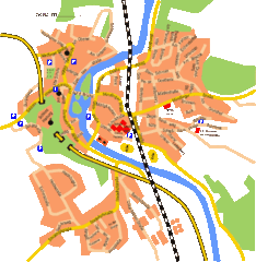
Harburg Map
Street map of Harburg town
91 miles away
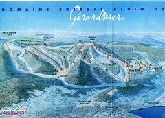
Gérardmer Ski Trail Map
Trail map from Gérardmer.
93 miles away
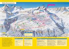
Braunwald Ski Trail Map
Trail map from Braunwald.
93 miles away
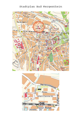
Bad Mergentheim Map
Street map of Bad Mergentheim
94 miles away
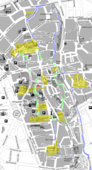
Augsburg Tourist Map
Tourist street map of downtown Augsburg
94 miles away
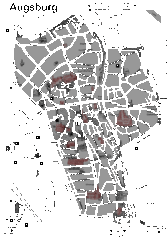
Augsburg Tourist Map
Shows central Augsburg and its sights.
94 miles away
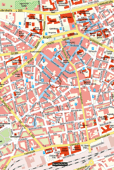
Kaiserslautern Center Map
Street map of Kaiserslautern city center
95 miles away
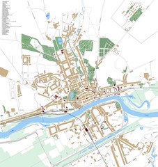
Landsberg Map
Street map of city of Landsberg
95 miles away
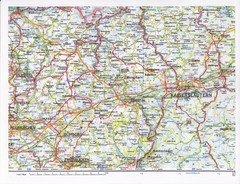
Gerhardsbrunn Map
95 miles away
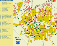
Landsberg Tourist Map
tourist map of town of Landsberg
95 miles away
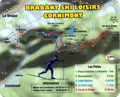
Cornimont Ski Trail Map
Trail map from Cornimont.
96 miles away
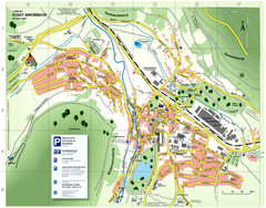
Amorbach Tourist Map
Tourist map of Amorbach
96 miles away
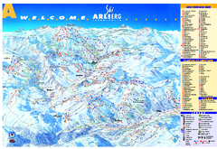
St Anton Region Ski map
Panoramic ski map covers St. Anton, St. Christoph, St. Jakob, Stuben, Zurs, Zug, Lech, and Oberlech...
98 miles away
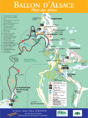
Ballon d’Alsace Ski Trail Map
Trail map from Ballon d’Alsace.
98 miles away
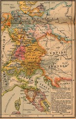
Germany Italy 1806 Map
Germany and Italy in 1806 at the dissolution of the Roman Empire
100 miles away
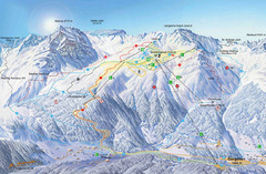
Montafon Ski Trail Map
Trail map from Montafon.
100 miles away
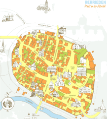
Herrieden Map
Street map of town center of Herrieden
100 miles away
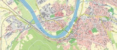
Miltenberg Map
Map of Miltenberg and surrounding area
100 miles away
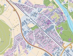
Kleinheubach Map
Street map of Kleinheubach
101 miles away
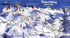
Arlberg – St Anton Ski Trail Map
Trail map from Arlberg – St Anton.
101 miles away
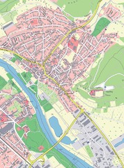
Grossheubach Map
Street map of Grossheubach
102 miles away

Western Strasbourg Tourist Map
104 miles away
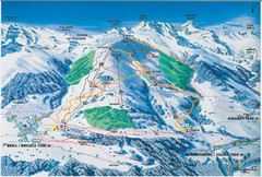
Brigels Ski Trail Map
Trail map from Brigels.
105 miles away
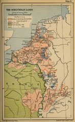
The Burgundian Lands Historical Map
105 miles away
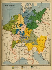
1912 Empire Historical Map
105 miles away
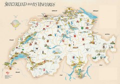
Switzerland Vineyards Map
Shows vineyards of Switzerland.
105 miles away
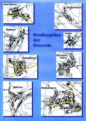
Treuchtlingen Districts Map
Street map of districts within the Treuchtlingen region
105 miles away
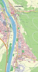
Klingenberg Map
Map of Klingenberg and surrounding region
105 miles away

