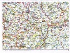
Gerhardsbrunn Map
128 miles away
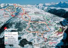
Reinswald Ski Trail Map
Trail map from Reinswald, which provides downhill skiing. It has 4 lifts. This ski area has its own...
129 miles away
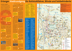
Erlangen Tourist Map
Tourist street map of Erlangen
129 miles away
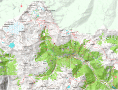
Val di Rabbi Topo Map
Detailed topographic map of Val di Rabbi, Italy on the edge of Stelvio National Park
129 miles away
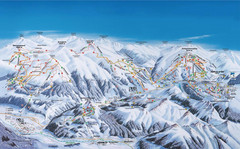
Gerlos Ski Resort Map
Ski map for Gerlos, Austria. Includes ski runs, lifts, mountains with elevations and amenities.
130 miles away
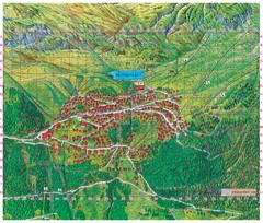
Bettmeralp Summer Map
Summer tourist map of town of Bettmeralp, Switzerland. With reference grid.
131 miles away
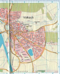
Volkach Map
Street map of town of Volkach
132 miles away
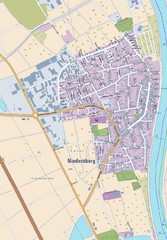
Niedernberg Map
Street map of Niedernberg
132 miles away
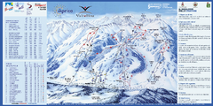
Aprica Ski Trail Map
Trail map from Aprica, which provides downhill skiing. This ski area has its own website.
133 miles away
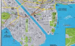
Ascona City Tourist Map
Landmarks in Ascona, Switzerland
133 miles away
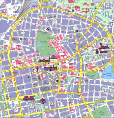
Darmstadt Tourist Map
Tourist street map of Darmstadt
134 miles away
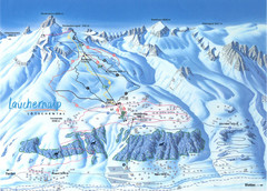
Lötschental (Wiler) Ski Trail Map
Trail map from Lötschental (Wiler), which provides downhill skiing.
134 miles away
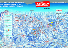
Wilder Kaiser Ski Trail Map
Trail map from Wilder Kaiser – Gosau, Scheffau, Ellmau.
135 miles away
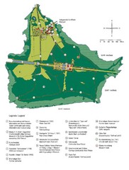
Chiemsee Island Germany Tourist Map
Tourist map of the island showing all the tourist sites.
135 miles away
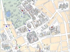
Darmstadt City Map
City map of Darmstadt, Germany. Shows major buildings and the Herrngarten.
135 miles away

Western Strasbourg Tourist Map
136 miles away
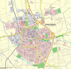
Gerolzhofen Map
Detailed street map of Gerolzhofen
136 miles away
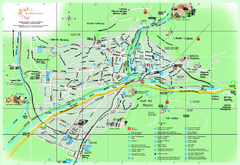
Bolzano Map
136 miles away
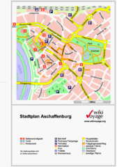
Aschaffenburg Tourist Map
Tourist street map of Aschaffenburg
136 miles away
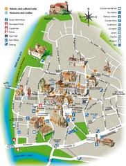
Bolzano tourist map
137 miles away
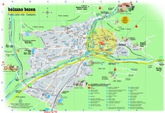
Bolzano Tourist Map
Tourist map of Bolzano, Italy.
137 miles away
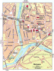
Bolzano centro Map
137 miles away
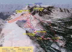
Alpe Ciamporino Ski Trail Map
Trail map from Alpe Ciamporino, which provides downhill skiing. It has 6 lifts. This ski area has...
137 miles away

Oppenheim Map
Street map of city of Oppenheim
137 miles away
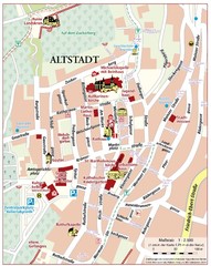
Oppenheim Altstadt Map
Street map of Altstadt area Oppenheim
137 miles away
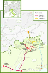
Northern Italy Bustransfer Map
137 miles away
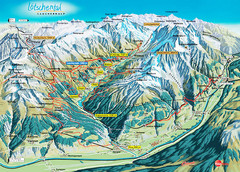
Lötschental Lauchernalp Summer Trail Map
Summer trail map of Lötschental Valley area. Shows hiking trails, towns, and mountains. The...
138 miles away
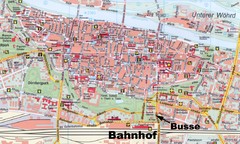
Regensburg Tourist Map
Tourist map of Regensburg city center
138 miles away
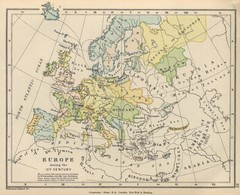
Europe 15th Century Colbeck Map
Europe during the 15th Century
138 miles away
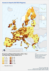
Travel Times to Airports in Europe Map
Shows proportion of car travel time to nearby airports across Western Europe
138 miles away
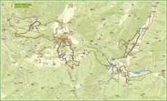
Nature Fitness Park in Kronplatz Dolomiti Map
Panoramic map of Nature Fitness Park in Dolomites. The park is very well signposted and its trails...
139 miles away
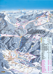
Reit im Winkl Ski Trail Map
Trail map from Reit im Winkl.
140 miles away
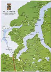
Lake Como Map
Map of lake with detail of surrounding towns
140 miles away
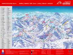
Kitzbuhel Ski Trail Map
Trail map from Kitzbuhel.
140 miles away
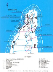
Bellagio Map
141 miles away

