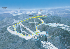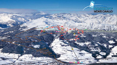
Rosskopf (Vipiteno) Ski Trail Map
Trail map from Rosskopf (Vipiteno), which provides downhill skiing. It has 4 lifts. This ski area...
119 miles away
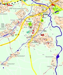
Stein Map
Street map of Stein and surrounding region
119 miles away
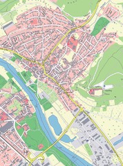
Grossheubach Map
Street map of Grossheubach
119 miles away
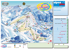
Sudelfeld Ski Trail Map
Trail map from Sudelfeld.
120 miles away
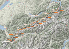
Swiss Alps Trail Map
Around Interlaken, Switzerland.
120 miles away
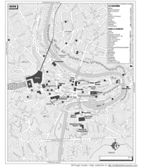
Bern Tourist Map
Tourist map of Bern, Switzerland. Shows museums, accommodations, eating, and drinking spots
121 miles away
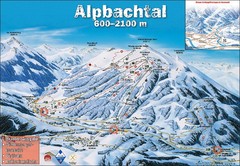
Alpbach Ski Trail Map
Trail map from Alpbach.
122 miles away
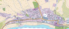
Collenberg Map
Street map of town of Collenberg
122 miles away
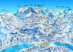
Jungfrauregion (Mürren, Wengen, Grindelwald) Ski...
Trail map from Jungfrauregion (Mürren, Wengen, Grindelwald), which provides downhill skiing.
122 miles away
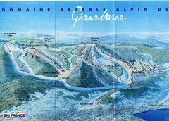
Gérardmer Ski Trail Map
Trail map from Gérardmer.
122 miles away
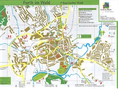
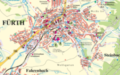
Furth Tourist Map
Tourist street map of Furth
122 miles away
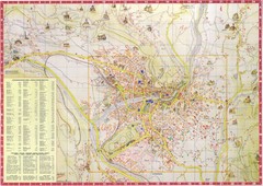
Merano Map
122 miles away
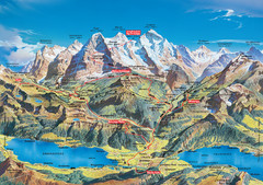
Jungfrau Grindelwald region summer map
This map is a summer panorama looking south from Interlaken toward the Jungfrau, Eiger, and the...
122 miles away
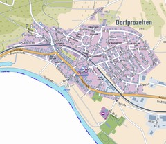
Dorfprozelten Map
Street map of Dorfprozelten
122 miles away
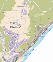
Stadtprozelten Map
Stadtprozelten street map
122 miles away
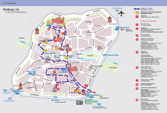
Nuremberg Tourist Map
Tourist map of old city Nuremberg, Germany. Shows tourist points of interest and a tourist walking...
123 miles away
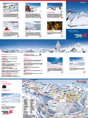
Zillertal 3000 (Hintertux) Ski Trail Map
Trail map from Zillertal 3000 (Hintertux).
123 miles away
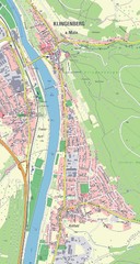
Klingenberg Map
Map of Klingenberg and surrounding region
123 miles away
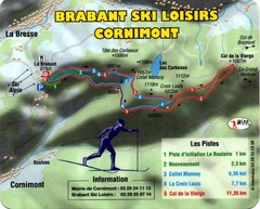
Cornimont Ski Trail Map
Trail map from Cornimont.
123 miles away
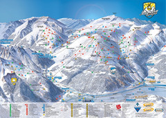
Mayrhofen Ski Trail Map
Ski trail map of Mayrhofen ski area in Austria.
124 miles away
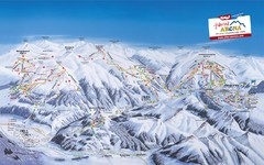
Zillertal Arena Ski Trail Map
Trail map from Zillertal Arena.
124 miles away
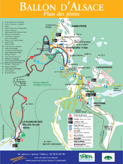
Ballon d’Alsace Ski Trail Map
Trail map from Ballon d’Alsace.
124 miles away
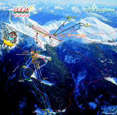
Meran Ski Trail Map
Trail map from Meran 2000, which provides downhill skiing. This ski area has its own website.
124 miles away
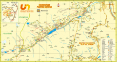
Ultental Deutschnonsberg St. Walburg Tourist Map
Tourist map of the southern Tyrol region around Ultental, Deutschnonsberg, and St. Walburg/ S...
124 miles away
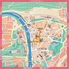
Würzburg Tourist Map
Tourist street map of Würzburg center
124 miles away
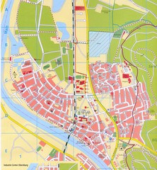
Erlenbach Map
Street map of town of Erlenbach
124 miles away
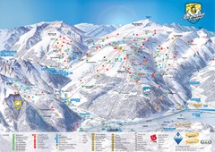
Mayrhofen Ski Trail Map
Trail map from Mayrhofen.
125 miles away
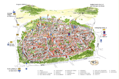
Neumarkt in der Oberpfalz Map
Tourist map of city center of Neumarkt in der Oberpfalz, Germany. In German
125 miles away
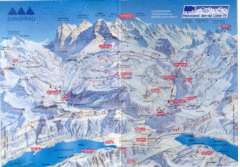
Jungfrau Map
125 miles away
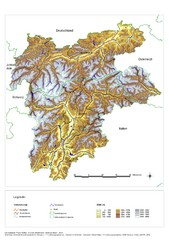
South Tyrol Elevation Map
Physical relief map of the South Tyrol region in present-day borders of Italy and Austria.
126 miles away
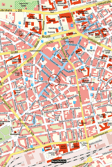
Kaiserslautern Center Map
Street map of Kaiserslautern city center
126 miles away
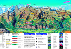
Schilthorn Summer Trail Map
Summer hiking map of Mürren-Schilthorn area. Shows lifts and trails.
127 miles away
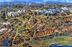
Eastern Alps Italy and Austria Overview Map
Panoramic map of the mountains and towns of northern Italy, the Tyrol, and southern Austria
127 miles away


