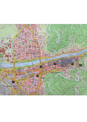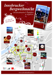
Innsbruck Christmas Markets Map
Christmas market map of Innsbruck, Austria.
102 miles away
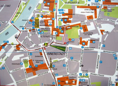
Innsbruck Tourist Map
Tourist map of inner Innsbruck, Austria. Photo of outdoor map.
102 miles away
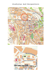
Bad Mergentheim Map
Street map of Bad Mergentheim
103 miles away
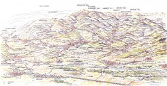
Guebviller valley panorama Map
103 miles away
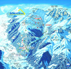
Fulpmes Ski Trail Map
Trail map of Fulpmes ski area in the Stubai Alps near Fulpmes, Austria. Schlick 2000
104 miles away
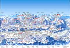
Innsbruck Region Ski Map
Shows ski regions around Innsbruck, Austria
105 miles away

Switzerland Map
105 miles away
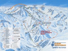
Stubaital Ski Trail Map
Trail map from Stubaital.
106 miles away

Andermatt (Hospental) Ski Trail Map
Trail map from Andermatt (Hospental).
106 miles away

St. Moritz Tourist Map
Tourist map of St. Moritz, Switzerland. Shows summer and winter points of interest.
106 miles away
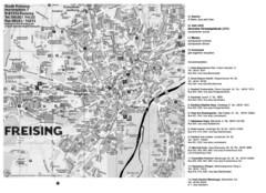
Freising City Map
107 miles away
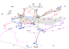
Alpenregion Meiringen-Hasliberg Ski Trail Map
Trail map from Alpenregion Meiringen-Hasliberg.
107 miles away
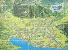
Rottach Egern Map
107 miles away
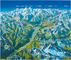
Engadin St. Moritz Region Summer Map
Summer panoramic tourist map of Engadin region of Switzerland. Includes St. Moritz, Piz Bernina...
107 miles away
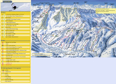
Sörenberg Ski Trail Map
Trail map from Sörenberg.
109 miles away
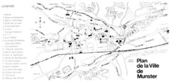
Munster Map
109 miles away
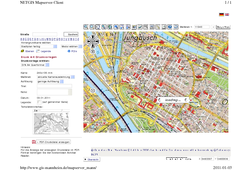
Mannheim Map
112 miles away
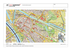
Mannheim Map
112 miles away
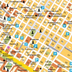
Central Mannheim Mp Map
Street map of Central Mannheim
112 miles away
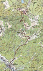
Grand Ballon Race Course Map
Topo course map of the 13.2 km running race to the summit of Grand Ballon
112 miles away
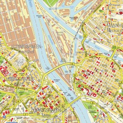
Ludwigshafen City Map
Street map of Ludwigshafen city center
112 miles away
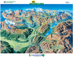
Valdidentro Alta Valtellina Summer Map
Panorama tourist map of the region of Valdidentro Alta Valtellina from Bormio, Italy to Livigno...
113 miles away
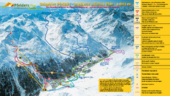
Pfelders Ski Trail Map
Trail map from Pfelders, which provides downhill and nordic skiing. This ski area has its own...
113 miles away
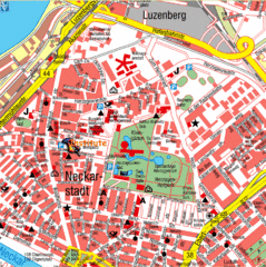
Mannheim Tourist Map
Tourist map of central Mannheim, Germany. Shows points of interest.
113 miles away

Sulden Trafoi Summer Hiking Map
Summer hiking route map of Sulden (Solda) Italy, Trafoi, Italy and Stelvio, Italy. Shows hiking...
113 miles away
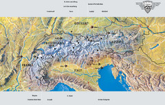
Alps Top Resort Town Map
Shows 12 top 4 season mountain resort towns in the Alps in France, Switzerland, Austria, and Italy.
113 miles away
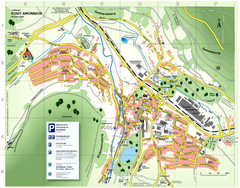
Amorbach Tourist Map
Tourist map of Amorbach
113 miles away
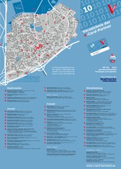
Viernheim Tourist Map
Tourist map of city of Viernheim
113 miles away
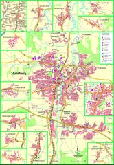
Mainburg Map
Street map of Mainburg city and surrounding region
114 miles away
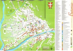
Bormio Tourist Map
Tourist map of town of Bormio, Italy. Legend of all streets and services.
115 miles away

Sulden Ski Trail Map
Ski trail map of Sulden (Solda), Italy in the Ortler Alps. Shows trails and lifts.
115 miles away
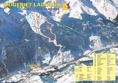
Ladurns Ski Trail Map
Trail map from Ladurns, which provides downhill skiing. This ski area has its own website.
115 miles away
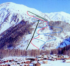
Hungerberg Ski Trail Map
Trail map from Hungerberg, which provides downhill skiing. It has 3 lifts. This ski area has its...
116 miles away
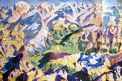
Bormio Panorama Map
Panorama tourist map of Bormio, Italy. Shows Ortler Alps in distance. From photo.
116 miles away
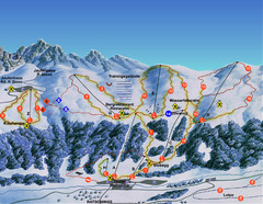
Ratschings / Racines Ski Trail Map
Trail map from Ratschings / Racines.
116 miles away
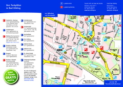
Bad Aibling Tourist Map
Tourist parking map of downtown Bad Aibling
117 miles away

Bad Durkheim Tourist Map
Tourist map of Bad Durkhiem
117 miles away
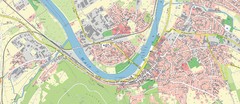
Miltenberg Map
Map of Miltenberg and surrounding area
117 miles away
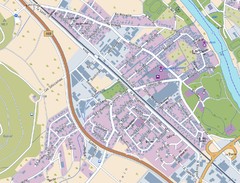
Kleinheubach Map
Street map of Kleinheubach
118 miles away

