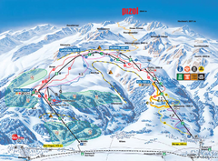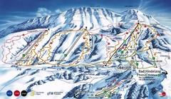
Oberjoch-Unterjoch Ski Trail Map
Trail map from Oberjoch.
56 miles away
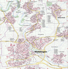
Waiblingen Map
City map of Waiblingen and surrounding region
57 miles away
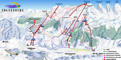
Toggenburg Ski Trail Map
Trail map from Toggenburg.
59 miles away

Lauterbad, Germany Map
59 miles away
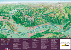
Liechtenstein Tourist Map
Tourist map of the country of Liechtenstein. Panoramic view shows all towns, trails, and mountains.
59 miles away
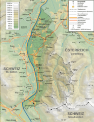
Liechtenstein topography Map
59 miles away
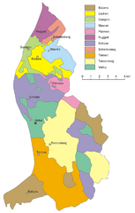
Liechtenstein Tourist Map
59 miles away
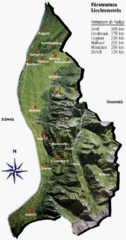
Liechtenstein Tourist Map
59 miles away
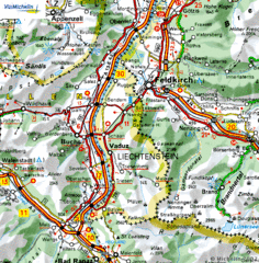
Liechtenstein road Map
59 miles away
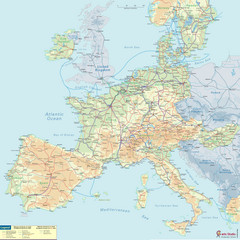
European Railway Map
60 miles away
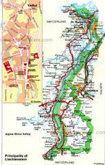
Liechtenstein Principality Map
60 miles away
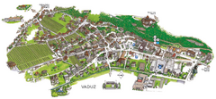
Vaduz Town Map
Tourist map of town of Vaduz, Liechtenstein. Panoramic view shows buildings and streets.
61 miles away
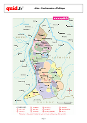
Liechtenstein Regional Map
Country map with detail of regional divides
62 miles away
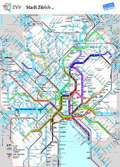
Zurich Metro Map
Official metro map from ZVV. Shows lines in central Zurich, Switzerland.
62 miles away
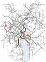
Zurich Tram Map
Map of tram system for Zurich and surrounding areas
63 miles away
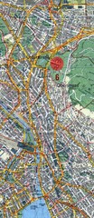
Zurich, Switzerland Tourist Map
63 miles away
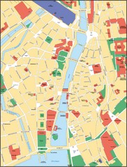
Zurich, Switzerland Tourist Map
63 miles away
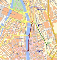
Zurich, Switzerland Tourist Map
63 miles away
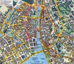
Zurich, Switzerland Tourist Map
63 miles away
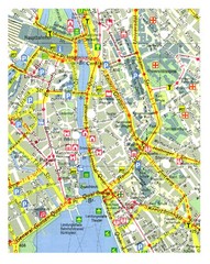
Zurich, Switzerland Tourist Map
63 miles away
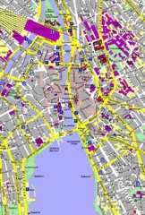
Zurich, Switzerland Tourist Map
63 miles away
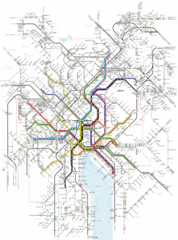
Zurich Transit Map
Map of transit routes throughout Zurich
63 miles away
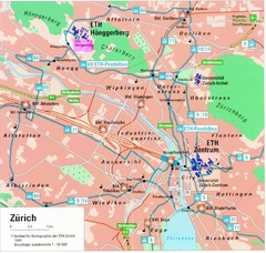
Zurich City Map
City map of Zurich with university highlighted
63 miles away
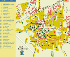
Landsberg Tourist Map
tourist map of town of Landsberg
64 miles away
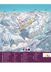
Malbun Ski Trail Map
Ski trail map of area surrounding Malbun, Liechtenstein. Also shows walking routes.
64 miles away
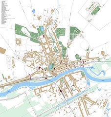
Landsberg Map
Street map of city of Landsberg
64 miles away
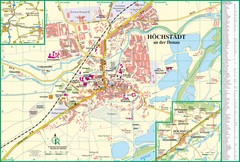
Höchstädt an der Donau Map
Street map of Höchstädt an der Donau
64 miles away
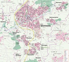
Backnang Region Map
Street map of Backnang and surrounding area
64 miles away
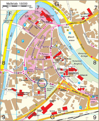
Backnang City Map
Street map of Backnang city center
64 miles away
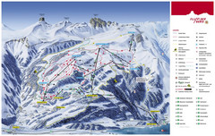
Flumserberg Ski Trail Map
Trail map from Flumserberg.
65 miles away
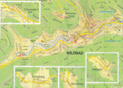
Bad Wildbad Map
Map of Bad Wildbad and surrounding region
67 miles away
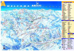
St Anton Region Ski map
Panoramic ski map covers St. Anton, St. Christoph, St. Jakob, Stuben, Zurs, Zug, Lech, and Oberlech...
67 miles away
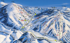
Feldberg Ski Trail Map
Trail map from Feldberg.
69 miles away
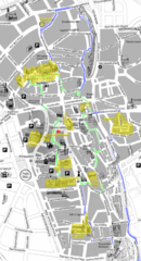
Augsburg Tourist Map
Tourist street map of downtown Augsburg
69 miles away
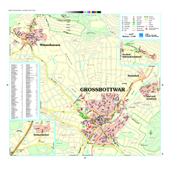
Großbottwar Map
Street map of Großbottwar and surrounding area
69 miles away
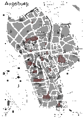
Augsburg Tourist Map
Shows central Augsburg and its sights.
69 miles away
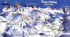
Arlberg – St Anton Ski Trail Map
Trail map from Arlberg – St Anton.
70 miles away

