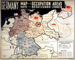
Occupation Areas of Germany after 1945 Map
This was an actual poster to be shown in the occupied Germany after the WWII.
222 miles away
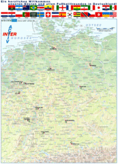
Germany Football World Cup 2006 Map
Shows football (soccer) cities in the 2006 World Cup hosted by Germany.
222 miles away
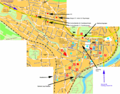
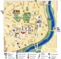
Jena City Map
City map of Jena with information
222 miles away
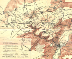
1806 Jena, Germany Map
Historic guide to Jena, Germany in German
222 miles away
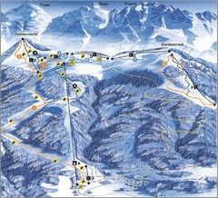
Arnoldstein—Dreiländereck Ski Trail Map
Trail map from Arnoldstein—Dreiländereck, which provides downhill skiing. It has 8 lifts. This...
223 miles away
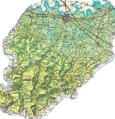
Piacenza Province Map
Physical map of Piacenza Province, Italy
223 miles away
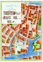
the old jewish ghetto of venezia Map
a bird's eye view of the ghetto of venezia.
223 miles away
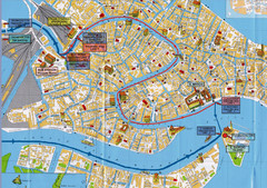
Venice Tourist Map
223 miles away
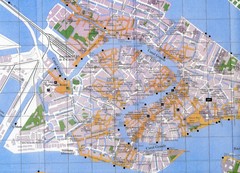
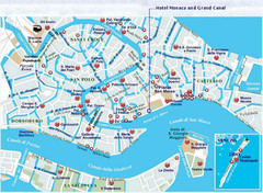
Venice Italy Tourist Map
Map of Venice, Italy showing tourist sites, plazas and churches.
223 miles away
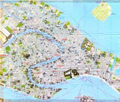
Venice Street Map
Detailed street map of Venice, Italy showing major landmarks, canals, and buildings.
223 miles away
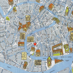
Venice Guide Map
224 miles away
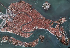
Venice Aerial Map
Aerial map of Venice, Italy. Shows points of interest.
224 miles away
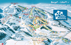
Winterberg Ski Trail Map
Trail map from Winterberg.
224 miles away
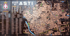
Asti map at stazione
224 miles away
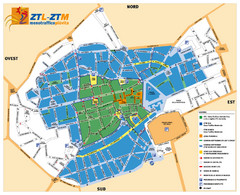
Asti Traffic Zone Map
Traffic zone map of city of Asti, Italy from the ZTL (Zona Traffico Limitado).
224 miles away
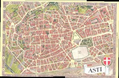
Asti Map
224 miles away
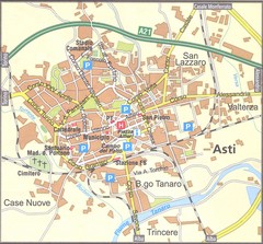
Asti Map
224 miles away
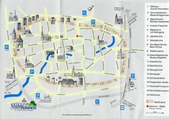
Muhlhausen City Map
City map of Muhlhausen with attractions.
225 miles away
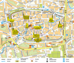
Mühlhausen Tourist Map
Tourist street map of Mühlhausen
225 miles away
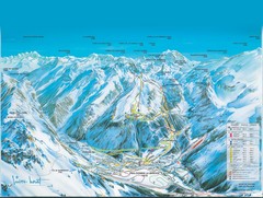
Pralognan-la-Vanoise Ski Trail Map
Trail map from Pralognan-la-Vanoise.
225 miles away
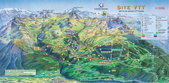
Courcheval Mountain Biking Map
Panoramic downhill mountain biking trail map of Courcheval, France in Vanoise National Park.
225 miles away
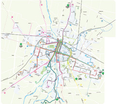
Parma Bus Lines Map
226 miles away

Paradiski Resort Map
Paradiski Map of the ski runs, mountain elevations and amenities.
226 miles away

Parma Map
226 miles away

Parma centro storico Map
226 miles away
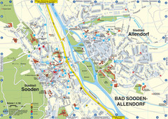
Sooden-Allendorf Map
Street map of Sooden and Allendorf
226 miles away
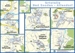
Bad Sooden-Allendorf Towns Map
Street maps of towns within the Bad Sooden-Allendorf region
226 miles away
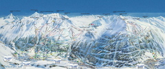
Val Cénis Ski Trail Map
Trail map from Val Cénis.
226 miles away
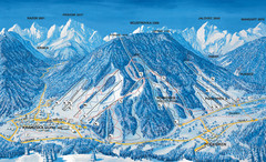
Kranjska Gora Ski Trail Map
Ski trail map of Kranjska Gora ski area.
227 miles away
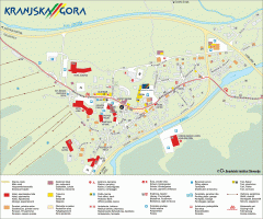
Kranjska Gora town map
Blurb from town website: The Zgornjesavska Valley is one of the most breathtaking alpine valleys...
227 miles away
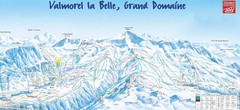
Valmorel Valmorel Ski Trail Map
Trail map from Valmorel.
227 miles away
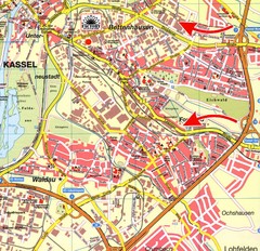
Bettenhausen Map
Map of Bettenhausen
227 miles away
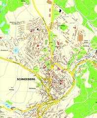
Schneeberg Map
Street map of city of Schneeberg
228 miles away

