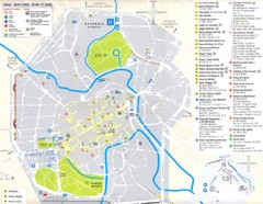
Vicenza Map
196 miles away
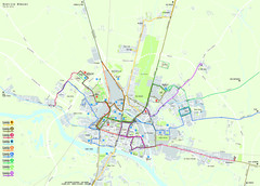
Pavia Map
197 miles away

Pavia Map
197 miles away
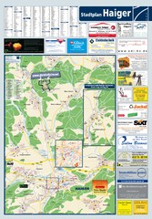
Haiger Tourist Map
Tourist map of Haiger and surrounding area
197 miles away
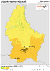
Solar Radiation Map of Luxembourg
Solar Radiation Map Based on high resolution Solar Radiation Database: SolarGIS. On the Solar Map...
197 miles away
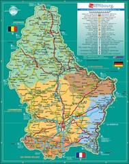
Luxembourg Tourism Map
Tourist Map of Luxembourg showing major roads, railways, and tourist attractions.
197 miles away
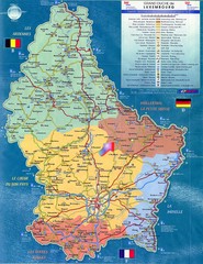
Luxembourg Tourist Map
Tourist map of the country of Luxembourg. Shows points of interest and activity icons. In French...
197 miles away
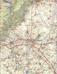
Northern Italy Tourist Map
Pordenone, Coltura, Polcenigo, Italy
198 miles away
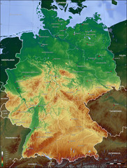
Germany Topo Map
Topographical map of Germany. Shaded by elevation in meters. Also shows major German cities.
198 miles away
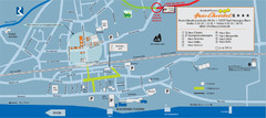
Bad Hönningen Tourist Map
Tourist map of Bad Honningen town center
199 miles away
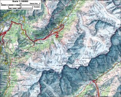
Mont Blanc topographic map
topo map of Mont Blanc, France; highest point in the Alps
199 miles away
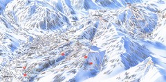
Combloux Trail Map
Ski trail map
199 miles away
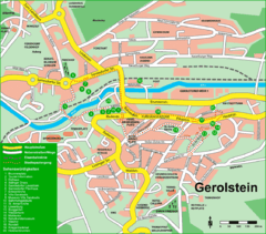
Gerolstein Map
Street map of Gerolstein
199 miles away
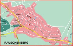
Rauschenberg Map
Street map of town of Rauschenberg
200 miles away
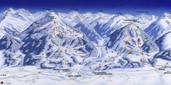
Planai-Hochwurzen Ski Trail Map
Trail map from Schladming.
200 miles away
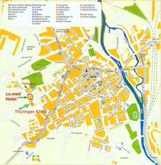
Saalfeld Tourist Map
Tourist street map of Saalfeld
200 miles away

Cremona Map
201 miles away
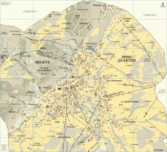
Megeve Village Map
Detailed map of Megève village, France shows roads, building outlines, and in-town ski lifts.
202 miles away
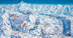
Le Grand Bornand Ski Trail Map
Trail map from Le Grand Bornand.
204 miles away
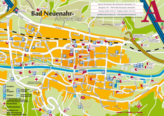
Bad Neuenahr-Ahrweiler Tourist Map
Tourist map of Bad Neuenahr-Ahrweiler
205 miles away
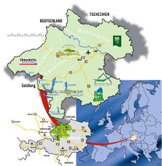
Upper Austria Tourist Map
207 miles away

Mantova Map
207 miles away
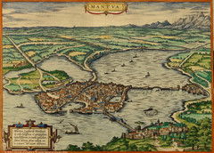
Mantua City Map 1575
Panoramic view of Mantua (Mantova), Italy from Braun and Hogenberg Civitates Orbis Terrarum Volume...
207 miles away
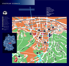
Eisenach Tourist Map
Tourist street map of Eisenach
208 miles away
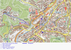
Siegen Street Map
Street map of part of Siegen, Germany. With annotations in English.
208 miles away
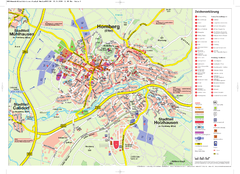
Homberg (Efze) Tourist Map
Tourist street map of Homberg
209 miles away
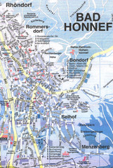
Bad Honnef Map
Street map of Bad Honney
209 miles away
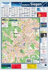
Siegen Tourist Map
Tourist map of Siegen and surrounding region
209 miles away
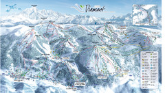
Crest Voland Ski Trail Map
Trail map from Crest Voland.
209 miles away
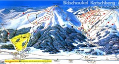
Lungau Ski Trail Map
Trail map from Lungau.
209 miles away
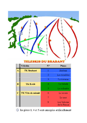
Brabant Ski Trail Map
Trail map from Brabant.
210 miles away
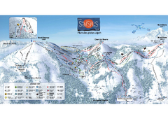
Les Saisies Ski Trail Map
Trail map from Les Saisies.
210 miles away
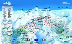
La Rosière Ski Trail Map
Trail map from La Rosière.
211 miles away
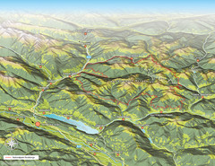
Nockberge National Park Map
Outline map of Nockberge National Park, Austria in the summer. Shows surrounding towns.
211 miles away
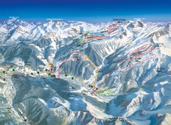
Arèches Ski Trail Map
Trail map from Arèches.
213 miles away

