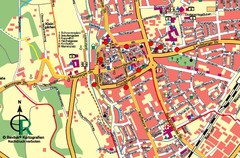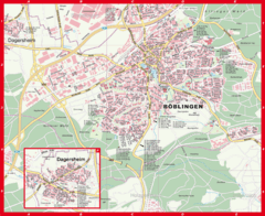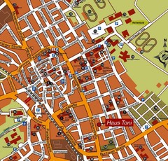
Bad Saulgau Tourist Map
Tourist street map of Bad Saulgau town center
0 miles away
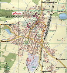
Aulendorf Map
Street map of city of Aulendorf
8 miles away
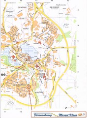
Bad Waldsee Map
Street map of Bad Waldsee
13 miles away
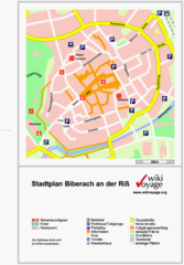
Biberach an der Riß Tourist Map
Tourist map of Biberach an der Riß town center
15 miles away
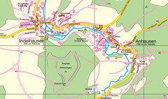
Indelhausen / Anhausen Map
Map of towns of Indelhausen & Anhausen
19 miles away
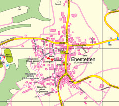
Ehestetten Map
Street map of Ehestetten
21 miles away
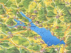
Lake Konstanz Map
28 miles away
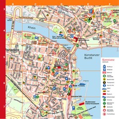
Konstanz Tourist Map
Tourist map of Konstanz
29 miles away
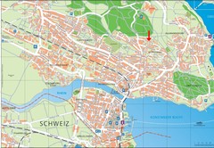
Konstanz City Map
29 miles away
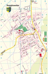
Regglisweiler Map
Map of town of Regglisweiler
29 miles away
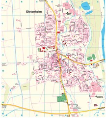
Dietenheim Map
Street map of Dietenheim
30 miles away
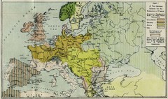
Extinction of France Map 1918
Shows pan-German scheme for the Extinction of France, 1918. As given in "Frankreich's...
30 miles away
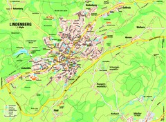
Lindenberg im Allgäu Map
Street map of Lindenberg
34 miles away
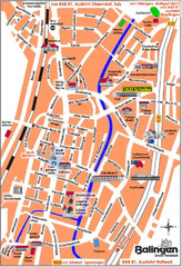
Balingen Tourist Map
Tourist street map of Balingen center
35 miles away
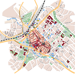
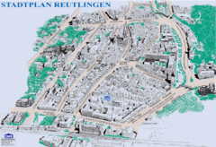
Reutlingen Tourist Map
Tourist street map of Reutlingen
35 miles away
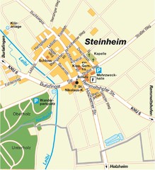
Ulm Steinheim Map
Street map of town of Ulm Steinheim
38 miles away

Wuerttembergische Landeskirche Map
Karte der Evang. Landeskirche in Wuerttemberg, The Evangelical-Lutheran Church in Wuerttemberg
40 miles away
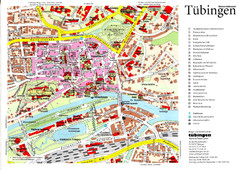
Tübingen Tourist Map
Tourist map of Old Town center of Tübingen
40 miles away
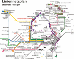
Tubingen Bus Map
Bus routes and connections, Tubingen, Germany. (German).
41 miles away
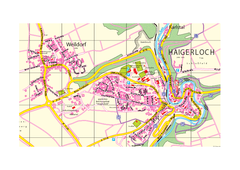
Haigerloch & Weildorf Map
Map of Haigerloch / Weildorf area
41 miles away
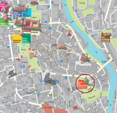
Kempten im Allgäu Tourist Map
Tourist street map of Kempten im Allgäu
43 miles away
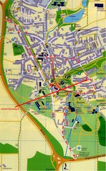
Bad Durrheim Map
Street map of Bad Durrheim
45 miles away
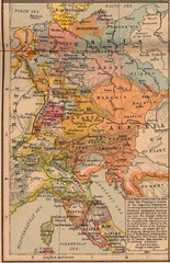
Germany Italy 1803 Map
Germany and Italy in 1803 after the Principle Decree of the Imperial Deputation
47 miles away
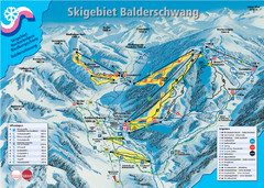
Balderschwang Balderschwang Ski Trail Map
Trail map from Balderschwang.
48 miles away

Winterthur City Map
51 miles away
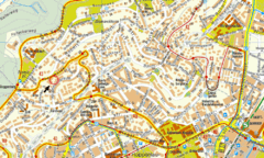
Boblingen Street Map
Street map of Boblingen center
51 miles away
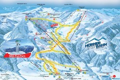
Bolsterlang Ski Trail Map
Trail map from Bolsterlang.
51 miles away
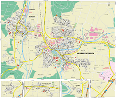
Herbrechtingen Map
Street map of city of Herbrechtingen
52 miles away
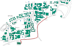
Universität Stuttgart Campus Map
In Stuttgart, Germany
53 miles away
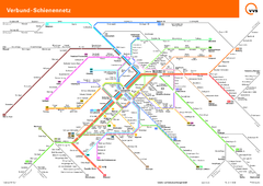
Stuttgart, Nahverkehr Map
54 miles away
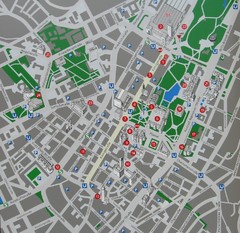
Stuttgart Tourist Map
Tourist street map of Stuttgart center
54 miles away
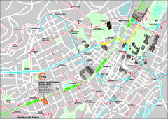
Stuttgart Street Map
Street map of Stuttgart, Germany. Show major buildings and public transport routes.
54 miles away
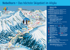
Oberstdorf Ski Trail Map
Trail map from Oberstdorf.
56 miles away
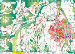
Oberstdorf City Map
City map of Oberstdorf, Germany and surrounding area. Shows buildings and ski lifts. In German.
56 miles away

