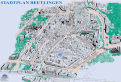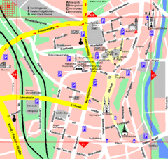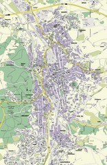
Lauterbad, Germany Map
168 miles away
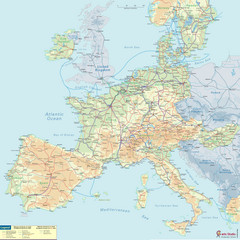
European Railway Map
169 miles away
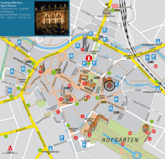
Bayreuth Tourist Map
Tourist map of Bayreuth town center
169 miles away
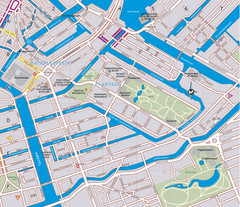
Waterlooplein, Plantage and Oosterpark Tourist Map
Waterlooplein, Plantage and Oosterpark neighborhoods in Amsterdam
169 miles away
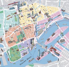
Rotterdam Tourist Map
Tourist map of Rotterdam, Netherlands. Largest port in Europe.
169 miles away
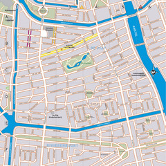
De Pijp Neighborhood Map
De Pijp neighborhood in Amsterdam map
169 miles away
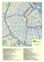
Amsterdam Map
Guide to cannabis cafes in Amsterdam
169 miles away
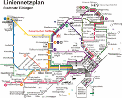
Tubingen Bus Map
Bus routes and connections, Tubingen, Germany. (German).
169 miles away
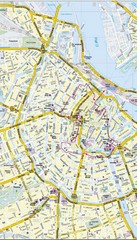
Amsterdam Central City Map
City map of Amsterdam Central
170 miles away
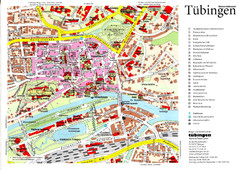
Tübingen Tourist Map
Tourist map of Old Town center of Tübingen
170 miles away
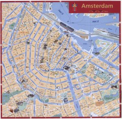
Amsterdam Tourist map
Shows major tourist points of interest. Scanned.
170 miles away
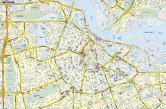
Amsterdam Map
Street map of Amsterdam, Netherlands.
170 miles away
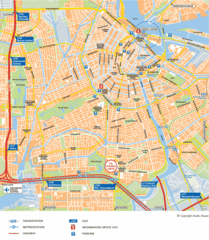
Amsterdam Tourist Map
170 miles away
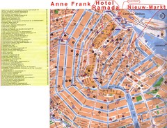
Amsterdam Tourist Map
170 miles away
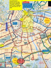
Amsterdam Hotel Map
170 miles away
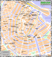
Amsterdam Coffee Shops Map
170 miles away
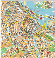
Amsterdam City Tourist Map
170 miles away
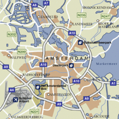
Amsterdam Airport Tourist Map
170 miles away
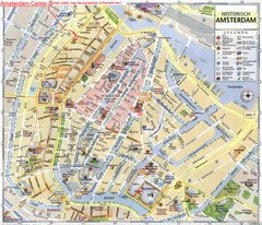
Amsterdam City Tourist Map
170 miles away
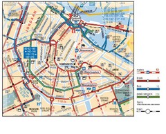
Amsterdam Transit Map
170 miles away
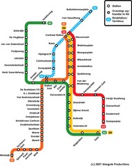
Amsterdam Metro Map
170 miles away
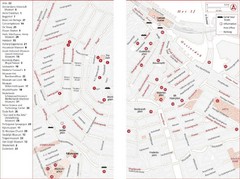
Amsterdam Tourist Map
Main attractions for sightseers in Amsterdam
170 miles away
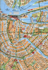
Amsterdam Center Map
170 miles away

Alsace - Bas Rhin Map
170 miles away
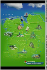
Northwest Germany Tourist Map
Tourist map of northwest region of Germany. Shows photos of major towns and regional icons.
170 miles away
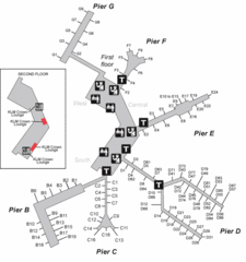
Amsterdam Airport Schipol Map
171 miles away
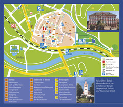
Gengenbach Tourist Map
Tourist map of Gengenbach
171 miles away
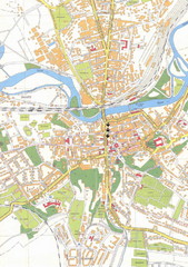
Weissenfels City Map
City map of Weissenfels, Germany
173 miles away
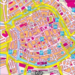
Groningen City Map
City map of central Groningen, The Netherlands. Some hotels highlighted.
173 miles away
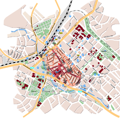
Reutlingen Tourist Map
Tourist street map of Reutlingen
173 miles away
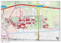
Delft University of Technology Campus Map
175 miles away
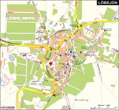
Loebejuen Map
Street map of town of Loebejuen
176 miles away
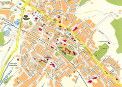
Halle City Map
Street map of Halle city center
176 miles away

Wuerttembergische Landeskirche Map
Karte der Evang. Landeskirche in Wuerttemberg, The Evangelical-Lutheran Church in Wuerttemberg
176 miles away
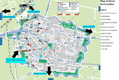
Leiden Tourist Map
Tourist map of downtown Leiden, The Netherlands. Shows some hotels and other points of interest.
176 miles away
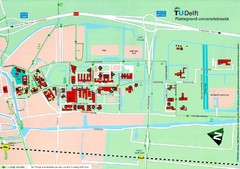
Delft University of Technology Map
176 miles away
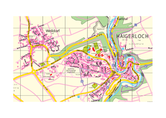
Haigerloch & Weildorf Map
Map of Haigerloch / Weildorf area
177 miles away

