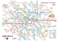
Köln, Nahverkehr Map
47 miles away
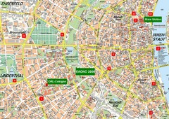
Cologne Map
Street map of Cologne, Germany. In German.
48 miles away
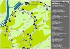
Muttental Bergbauwanderweg Map
50 miles away
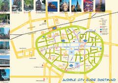
Dortmund Tourist Map
Tourist map of central Dortmund, Germany. Shows photos of points of interest along a walking audio...
50 miles away
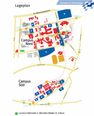
Universitat Dortumund Campus Map
51 miles away
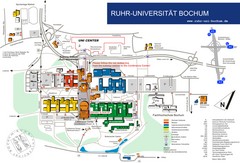
Ruhr-Universitat Campus Map
51 miles away
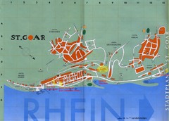
Sankt Goar Town Map
Town map of Sankt Goar, Germany. Sankt Goar is a picturesque little town on the Rhein river, about...
53 miles away
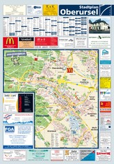
Oberursel Tourist Map
Tourist map of Oberursel and surrounding region
53 miles away
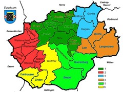
Bochum Stadtteile Map
54 miles away
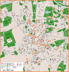
Bochum Tourist Map
Tourist map of central Bochum, Germany. Shows points of interest; numbers correspond to more info...
55 miles away
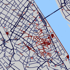
Heisingen Map
Detailed map of the city including parking, streets, and hotels.
55 miles away
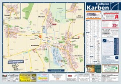
Karben Tourist Map
Tourist map of Karben and surrounding region
56 miles away
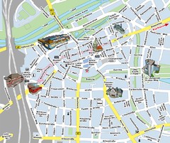
Hamm Center Tourist Map
Tourist street map of Hamm center
56 miles away
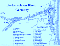
Bacharach Tourist Map
Tourist map of town of Bacharach
58 miles away
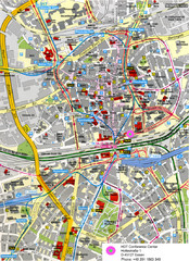
Essen Street Map
Street map of central Essen, Germany
59 miles away
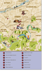
Essen Region Tourist Map
Tourist map of region of Essen
59 miles away
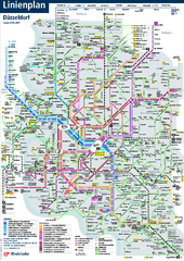
Dusseldorf Public Transport Network Map
Official Rheinbahn map shows municipal-rail, light rail and tramway system, as well as a close-knit...
60 miles away
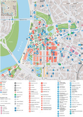
Dusseldorf Tourist Map
Tourist map of central Düsseldorf, Germany. Shows points of interest.
60 miles away
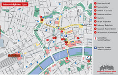
Frankfurt Tourist Map
Tourist map of central Frankfurt, Germany. Shows points of interest. In English and German.
60 miles away
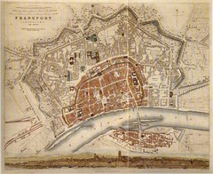
Frankfurt City Map 1840
60 miles away
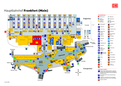
Frankfurt HBf Map
60 miles away
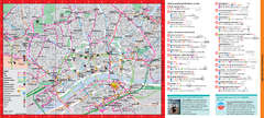
Frankfurt City Map
60 miles away
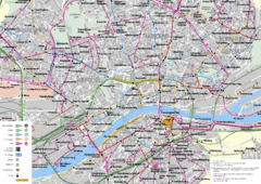
Frankfurt Public Transportation Map
Public transportation map of central Frankfurt, Germany. Shows bus and train routes.
60 miles away
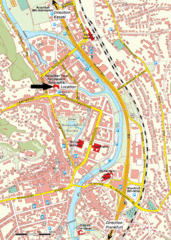
Frankfurt Tourist Map
60 miles away
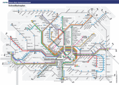
Frankfurt Subway Map (German)
60 miles away
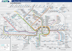
Frankfurt Nahverkehr Map
60 miles away
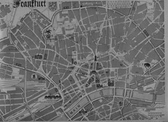
Frankfurt City Map
City map of Frankfurt
61 miles away
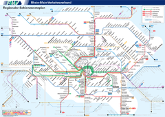
Frankfurt Nahverkehr Map
61 miles away
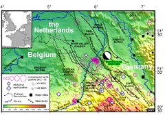
Earthquake in Lower Rhine Map
Seismotectonic map of the Lower Rhine graben system in the border area of Belgium, Germany and the...
61 miles away
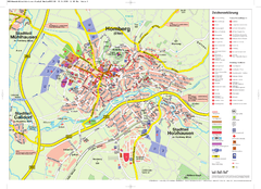
Homberg (Efze) Tourist Map
Tourist street map of Homberg
61 miles away
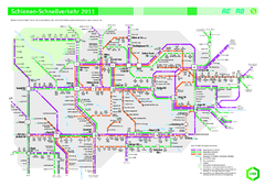
Ruhr VRR Schnellverkehr Map
62 miles away
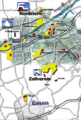
Essen-Nord Map
62 miles away
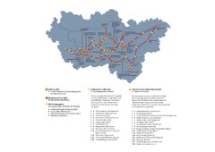
Ruhrgebiet Industriekultur Map
62 miles away
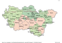
Ruhr RVR Map
62 miles away
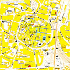
Recklinghausen Map
Street map of city
62 miles away
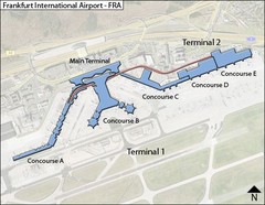
Frankfurt Airport Map
62 miles away

Frankfurt Airport Fern Bf Map
62 miles away

