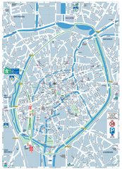
Brugge Tourist Map
Tourist map of Brugges, Belgium. Shows buildings and streets.
210 miles away
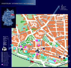
Wittenberg Tourist Map
City tourist map of Wittenberg, Germany
211 miles away
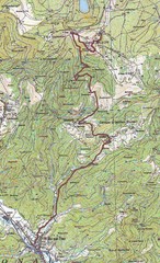
Grand Ballon Race Course Map
Topo course map of the 13.2 km running race to the summit of Grand Ballon
212 miles away
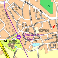
Quickborn Center Map
Street map of Quickborn town center
212 miles away
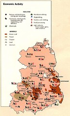
East Germany Economic Activity Map
Map of East Germany's economic activity
213 miles away
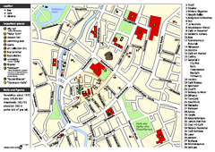
Chemnitz Tourist Map
Tourist map of Chemnitz city center
214 miles away
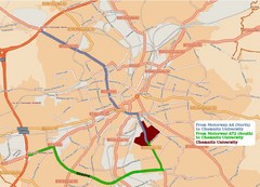
Chemnitz University Location Map
Location of Chemnitz University
214 miles away
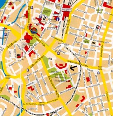
Chemnitz Center Map
Street map of Chemnitz center
214 miles away
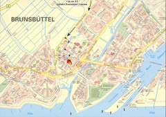
Brunsbüttel Map
Street map of Brunsbüttel and surrounding region
214 miles away
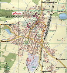
Aulendorf Map
Street map of city of Aulendorf
215 miles away
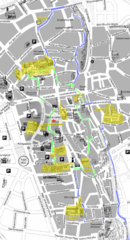
Augsburg Tourist Map
Tourist street map of downtown Augsburg
216 miles away
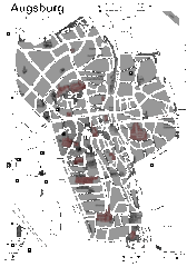
Augsburg Tourist Map
Shows central Augsburg and its sights.
216 miles away
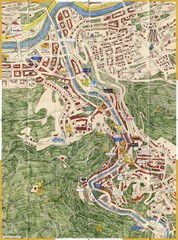
Karlovy Vary Czech Republic Tourist Map
Tourist map of Karlovy Vary, Czech Republic. Shows businesses, buildings of historical interest and...
218 miles away
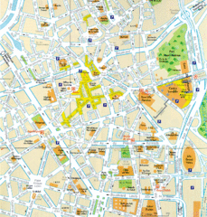
Lille Center Map
Street map of Lille city center
218 miles away
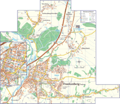
Frankenberg Map
Street map of Frankenberg and surrounding region
218 miles away
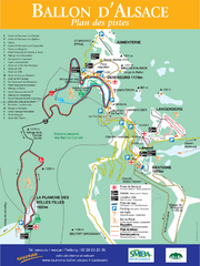
Ballon d’Alsace Ski Trail Map
Trail map from Ballon d’Alsace.
219 miles away
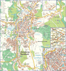
Annaberg-Buchholz Tourist Map
Tourist map of Annaberg-Buchholz region
219 miles away
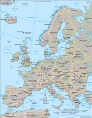
Europe Physical Map
219 miles away
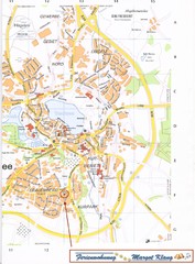
Bad Waldsee Map
Street map of Bad Waldsee
219 miles away
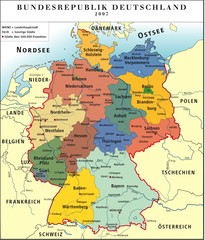
Deutschland Map
219 miles away
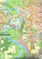
Rathenow Map
Street map of town of Rathenow
220 miles away
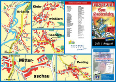
Neunburg vorm Wald District Map
Tourist street map of districts of Neunburg
220 miles away
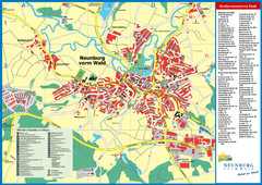
Neunburg vorm Wald Map
Tourist street map of Neunburg vorm Wald
220 miles away
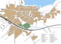
Woldenberg Map
Street map of city of Woldenberg
221 miles away
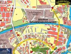
Brandenburg an der Havel Map
Street map of Brandenburg an der Havel center
221 miles away
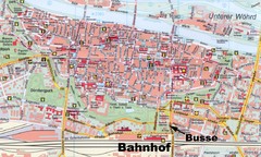
Regensburg Tourist Map
Tourist map of Regensburg city center
222 miles away
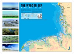
Wadden Sea Map
Map of Wadden Sea area and trilateral conservation area. Consists of lands and waters in The...
224 miles away
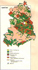
East Germany Land Use Map
Map of East Germany's land use
225 miles away
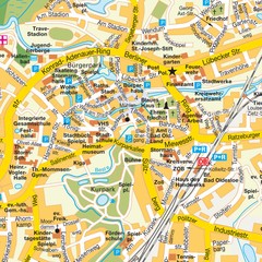
Bad Oldeshloe Map
Street map of downtown Bad Oldeshloe
225 miles away
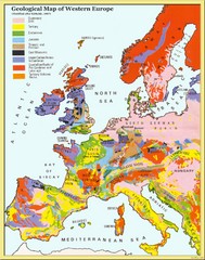
Western Europe Geology Map
Geological map of Western Europe. Modified after Kirkaldy 1967.
227 miles away

Opfer des Nationalsozialismus in Dithmarschen Map
228 miles away

Weil am Rhein Tourist Map
Tourist street map of Weil am Rhein
228 miles away
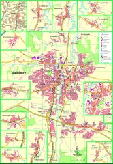
Mainburg Map
Street map of Mainburg city and surrounding region
228 miles away
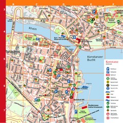
Konstanz Tourist Map
Tourist map of Konstanz
228 miles away
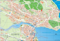
Konstanz City Map
229 miles away
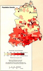
Eastern Germany Population Density Map
Map of Eastern Germany's population density
229 miles away
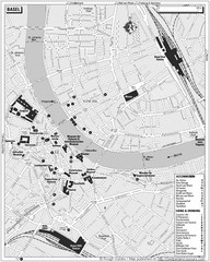
Basel Tourist Map
Tourist map of Basel, Switzerland. Shows museums, accommodations, eating, and drinking spots
231 miles away

