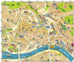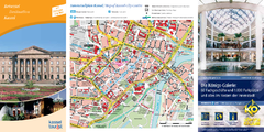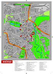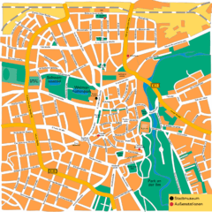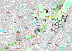
Stuttgart Street Map
Street map of Stuttgart, Germany. Show major buildings and public transport routes.
127 miles away
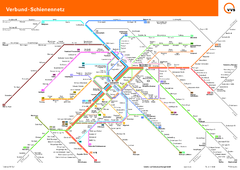
Stuttgart, Nahverkehr Map
127 miles away
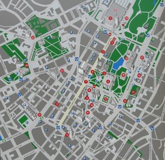
Stuttgart Tourist Map
Tourist street map of Stuttgart center
127 miles away
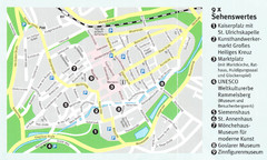
Goslar Map
128 miles away
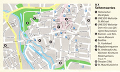
Hildesheim Map
129 miles away
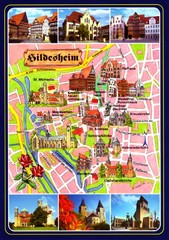
Hildesheim Tourist Map
Tourist map of downtown Hildesheim
129 miles away
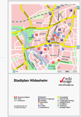
Hildesheim Center Tourist Map
Tourist street map of Hildesheim city center
129 miles away
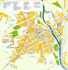
Saalfeld Tourist Map
Tourist street map of Saalfeld
129 miles away
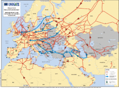
Europe Proposed Natural Gas Pipelines Map
The priority axes for natural gas pipelines, which involve INOGATE Participating Countries and...
129 miles away
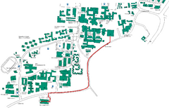
Universität Stuttgart Campus Map
In Stuttgart, Germany
129 miles away
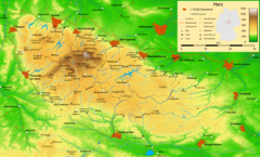
Harz Nature Park Map
Shaded relief map of Naturpark Harz.
130 miles away
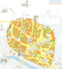
Herrieden Map
Street map of town center of Herrieden
130 miles away
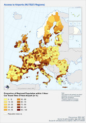
Travel Times to Airports in Europe Map
Shows proportion of car travel time to nearby airports across Western Europe
131 miles away
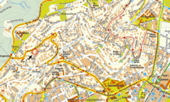
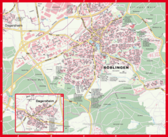
Boblingen Street Map
Street map of Boblingen center
132 miles away
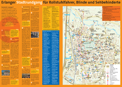
Erlangen Tourist Map
Tourist street map of Erlangen
132 miles away
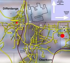
Differdange Bus Map
133 miles away
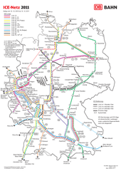
D ICE Netz Map
134 miles away
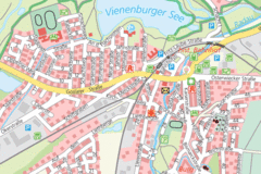
Vienenburg Center Map
Street map of town center
134 miles away
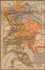
Germany Italy 1803 Map
Germany and Italy in 1803 after the Principle Decree of the Imperial Deputation
136 miles away
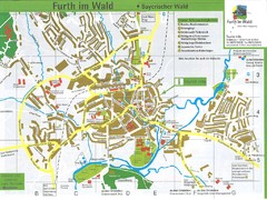
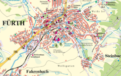
Furth Tourist Map
Tourist street map of Furth
136 miles away
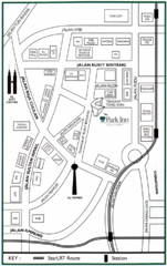
Kuala Lumpur Hotel Map
137 miles away
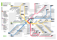
Hannover, Nahverkehr Map
138 miles away
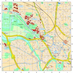
Leibniz Universität Hannover Map
Campus map of the Leibniz Universität Hannover in Hannover, Germany. All school buildings...
138 miles away
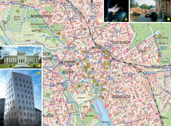
Hannover Tourist Map
Tourist map of central Hannover, Germany. Shows points of interest and some photos.
138 miles away
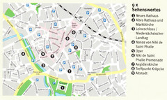
Hannover Map
139 miles away
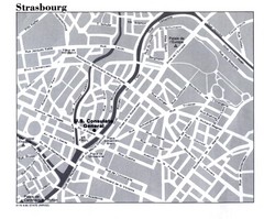
Strasbourg City Map
City map of part of Strasbourg, France. Shows US Consulate.
139 miles away
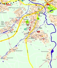
Stein Map
Street map of Stein and surrounding region
140 miles away
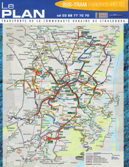
Strasbourg Bus and Tram Map
140 miles away
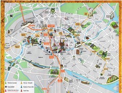
Strassburg Tourist Map
Tourist map of central Strassburg, France. Shows streets, trams, and major buildings. Scanned.
140 miles away
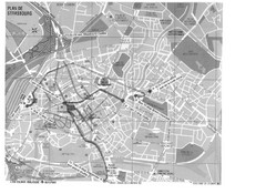
Strasbourg Map
Shows bus and tram itineraries to the Brethren Colleges Abroad office from the train station and...
140 miles away

Strasbourg Map
140 miles away

Jena Topographic Map
Guide to topography and surrounding area of Jena, Germany
140 miles away
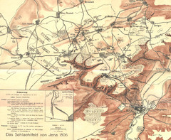
1806 Jena, Germany Map
Historic guide to Jena, Germany in German
140 miles away
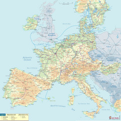
European Railway Map
140 miles away

