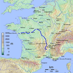
France Map with river Loire Highlighted
Map of France with river Loire higlighted.
369 miles away
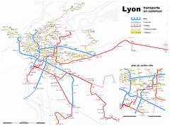
Lyon Map
Street map of Lyon, France. Shows metro lines.
370 miles away
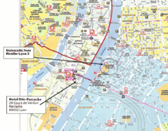
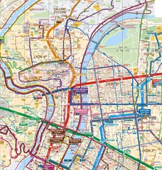
Lyon, France Tourist Map
370 miles away
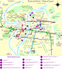
Lyon Tourist Map
370 miles away
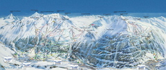
Val Cénis Ski Trail Map
Trail map from Val Cénis.
371 miles away
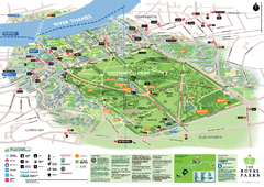
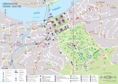
Greenwich Park Map
372 miles away
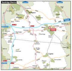
Tandridge District, England Region Map
372 miles away
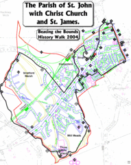
The Parish of St. John's with Christ Church...
A rough history of the Stratford, England and a continuation of the age old tradition of "...
372 miles away
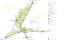
Chateau Chambord Estate Map
Estate map of the famous Chateau Chambord. Largest Chateau in the Loire River Valley.
373 miles away
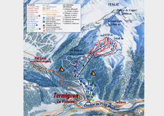
Termignon-la-Vanoise Ski Trail Map
Trail map from Termignon-la-Vanoise.
373 miles away
Pavia Map
373 miles away
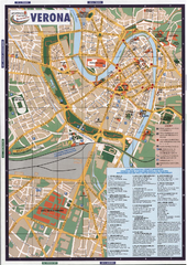
Verona Tourist Map
Tourist map of Verona, Italy. Shows points of interest.
373 miles away
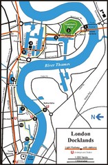
London Docklands Tourist Map
373 miles away

Pavia Map
373 miles away
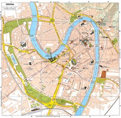
Verona Italy Tourist Map
Tourist map of Verona, Italy showing tourist sites, roads and parks.
373 miles away
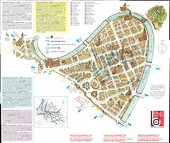
Verona centro Map
373 miles away
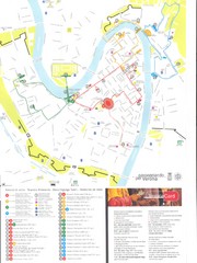
Verona centro Map
373 miles away
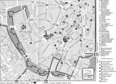
Verona Tourist Map
Tourist city map of Verona
373 miles away
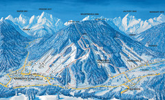
Kranjska Gora Ski Trail Map
Ski trail map of Kranjska Gora ski area.
373 miles away
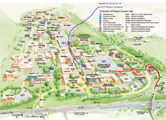
University of Sussex Campus Map
373 miles away
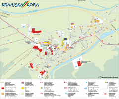
Kranjska Gora town map
Blurb from town website: The Zgornjesavska Valley is one of the most breathtaking alpine valleys...
373 miles away
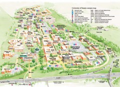
University of Sussex Campus Map
Official campus map of University of Sussex. Shows campus buildings and points of interest.
373 miles away
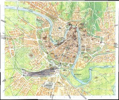
Verona Map
373 miles away
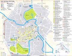
Vicenza Map
375 miles away
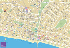
Brighton Tourist Map
Street map of Brighton, UK. Shows gay points of interest.
375 miles away
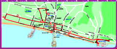
Brighton bus tour map
Brighton bus tour map - City Sightseeing
375 miles away
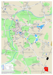
Cambridge Area Map
City map of Cambridge, England. Shows public facilities.
376 miles away
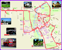
Cambridge Bus Tour Map
Cambridge Bus Tour Map - City Sightseeing
376 miles away
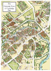
Cambridge England Map
Map of Cambridge, showing all the Colleges
376 miles away
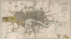
London Map 1807
1807 "London in miniature" map. Scanned.
376 miles away
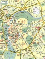
Cambridge Street Map
Street map of central Cambridge, England. Shows University of Cambridge.
376 miles away
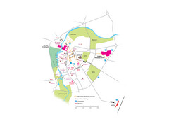
Cambridge City Centre Map
Locations and areas in Cambridge, England
376 miles away
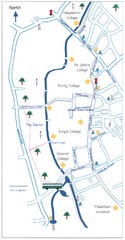
Cambridge Walking Map
Hand drawn tourist walking map of Cambridge, UK
376 miles away
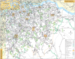
Southeast London Bus Map
376 miles away
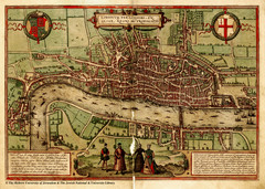
1560 London Map
Historic map of London showing city walls and farms
376 miles away
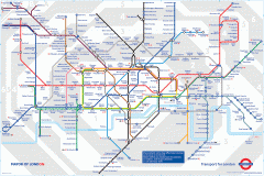
London Underground Map
Official map of the London Underground. An evolution of the original design conceived in 1931 by...
376 miles away
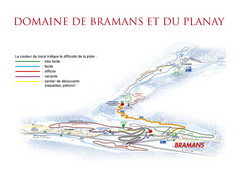
Bramans Ski Trail Map
Trail map from Bramans.
376 miles away
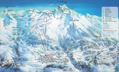
Aussois Ski Trail Map
Trail map from Aussois.
376 miles away

