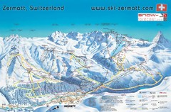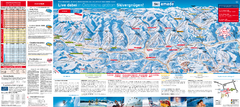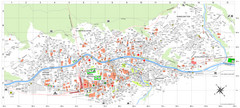
Zermatt Tourist Map
Guide to Zermatt, Switzerland
315 miles away
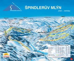
Špindlerův Mlýn Ski Trail Map
Trail map from Špindlerův Mlýn.
315 miles away
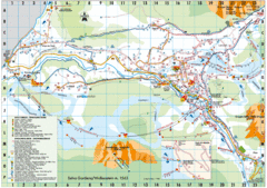
Selva Gardena Tourist Map
Tourist map of Selva Gardena, Italy, a popular skiing and hiking destination in the Italian Alps.
316 miles away
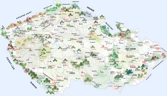
Czech Republic Castle map
Castle map of the Czech Republic
316 miles away
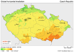
Solar Radiation Map of Czech republic
Solar Radiation Map Based on high resolution Solar Radiation Database: SolarGIS. On the Solar Map...
316 miles away
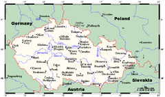
Czech Republic Tourist Map
316 miles away
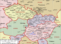
Czech Republic Tourist Map
316 miles away
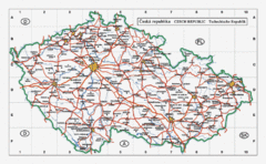
Czech Republic Country Map
Map of Czech Republic, roads, and major cities.
316 miles away
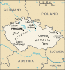
Czech Republic Country Map
Country of Czech Republic, and surrounding countries.
316 miles away
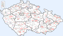
Czech Castles Map
Shows castles in the Czech Republic
316 miles away
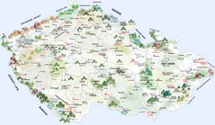
Czech Republic Tourist Map
Tourist map of the Czech Republic
316 miles away
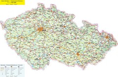
Czech Republic Road Map
Road map of the Czech Republic. Legend in Czech, German, and English.
316 miles away
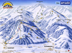
Ski Amade Map
316 miles away
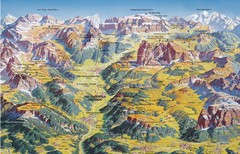
Val Gardena Summer Trail Map
Summer panoramic trail map of the Val Gardena, Italy area in the heart of the Dolomite Mountains...
317 miles away
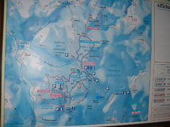
Station du Haut-Folin ? Nordic Ski Trail Map
Trail map from Station du Haut-Folin, which provides nordic skiing. This ski area has its own...
317 miles away
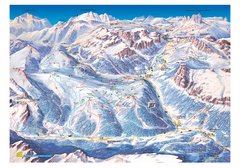
Alta Badia Alta Badia Ski Trail Map
Trail map from Alta Badia, which provides downhill skiing. This ski area has its own website.
317 miles away
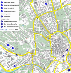
Czech Republic Tourist Map
Czech Republic Tourist Map. Includes roads, landmarks and street names.
317 miles away
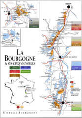
Burgandy Region Wine Districts Map
Shows wine districts of La Bourgogne region, France from Dijon to Macon.
317 miles away
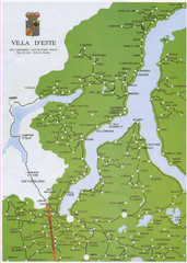
Lake Como Map
Map of lake with detail of surrounding towns
317 miles away
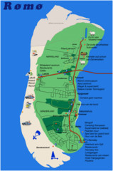
Romo Island Tourist Map
317 miles away
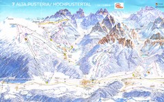
Alta Pusteria Ski Trail Map
318 miles away
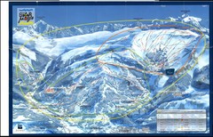
Grand Massif, Flaine (france) Map
318 miles away
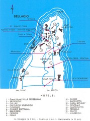
Bellagio Map
318 miles away
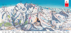
Zermatt Matterhorn Map
318 miles away
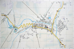
Corvara Town Map
Tourist map of Corvara, Italy in the Dolomites. From photo of sign
318 miles away
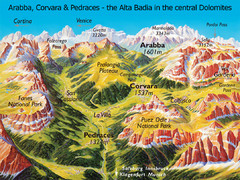
Arabba Corvara Pedraces Summer Map
Summer map of Alta Badia region in Italian Dolomites
318 miles away
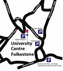
University Centre at Folkestone Map
319 miles away
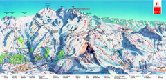
Piste Map of Zermatt with Cervinia
Combined piste map of Zermatt and Cervinia resorts. Shows both sides of the huge ski destination.
319 miles away
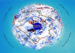
Sella Ronda Ski Tour Map
Shows ski mountaineering tour of Sella Ronda, a circular ski route leading around the mighty Sella...
319 miles away
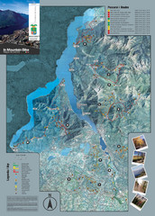
Lake Como Mountain Biking Trail Map
Trail map of mountain biking routes around Lake Como, Italy.
320 miles away
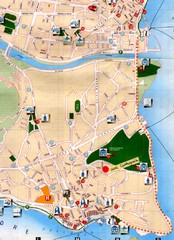
Verbania Pallatzo City Map
City map of Verbania-Pallanza, Italy on Lago Maggiore
320 miles away
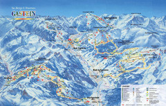
Gastein Ski Trail Map
Ski trail map of the Gastein Valley in Austria. Shows lift systems from Bad Gastein, Bad...
320 miles away
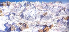
Campitello di Fassa Ski Map
320 miles away
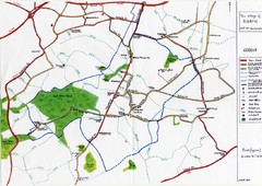
Hoath Town Map
Handwritten map of town of Hoath, England near Canterbury.
321 miles away

Haute Route Ski Tour Map - Verbier Variant
Ski tour topo route map of the European Alps' most famous alpine ski tour connecting two...
321 miles away
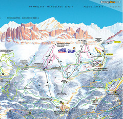
Welschnofen—Karersee (Carezza) Ski Trail Map
Trail map from Welschnofen—Karersee (Carezza), which provides downhill and nordic skiing. This...
321 miles away
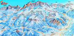
Latemar (Val di Fiemme, Obereggen) Ski Center...
Trail map from Latemar (Val di Fiemme, Obereggen), which provides downhill and nordic skiing. This...
321 miles away
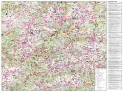
Val di Fassa Hiking Map
Hiking trail map of the Val di Fassa, Italy region. Highly detailed.
322 miles away

