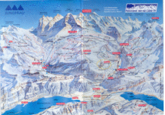
Jungfrau Map
278 miles away
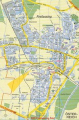
Freilassing Map
Street map of Freilassing
279 miles away
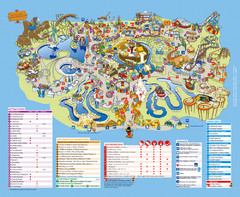
Asterix Park Map
Theme park map of Asterix Park in Paris, France
279 miles away
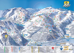
Mayrhofen Ski Trail Map
Ski trail map of Mayrhofen ski area in Austria.
280 miles away
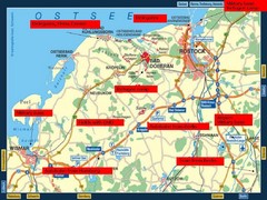
Rostok Region Tourist Map
280 miles away
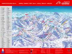
Kitzbuhel Ski Trail Map
Trail map from Kitzbuhel.
280 miles away
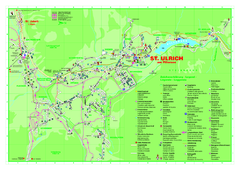
St. Ulrich am Pillersee Map
Village map of St. Ulrich am Pillersee, Austria
282 miles away
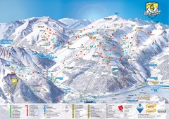
Mayrhofen Ski Trail Map
Trail map from Mayrhofen.
282 miles away
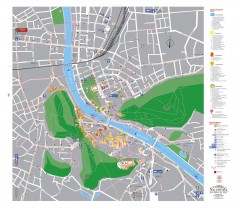
Salzburg Tourist Map
Tourist map of Salzburg, Austria. In German.
282 miles away
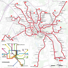
Salzburg Trolleybus Map
282 miles away
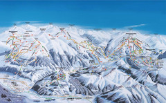
Gerlos Ski Resort Map
Ski map for Gerlos, Austria. Includes ski runs, lifts, mountains with elevations and amenities.
283 miles away
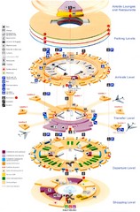
Charles de Gaulle Airport Map
283 miles away
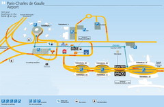
Charles de Gaulle Airport Map
283 miles away
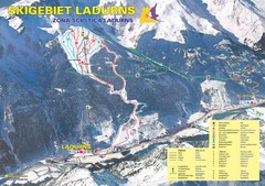
Ladurns Ski Trail Map
Trail map from Ladurns, which provides downhill skiing. This ski area has its own website.
283 miles away
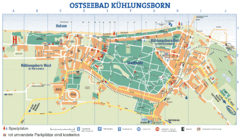
Kühlungsborn Map
Map of Kühlungsborn
285 miles away
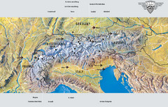
Alps Top Resort Town Map
Shows 12 top 4 season mountain resort towns in the Alps in France, Switzerland, Austria, and Italy.
285 miles away
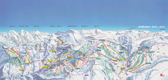
Adelboden-Lenk (Frutigen) Ski Trail Map
Trail map from Adelboden-Lenk (Frutigen), which provides downhill skiing.
286 miles away
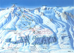
Lötschental (Wiler) Ski Trail Map
Trail map from Lötschental (Wiler), which provides downhill skiing.
286 miles away
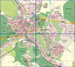
Doberan Map
Street map of city of Doberan
286 miles away

Gstaad Mountain Rides Ski Trail Map
Trail map from Gstaad Mountain Rides.
287 miles away
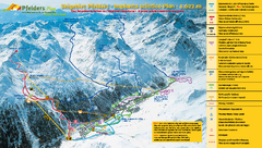
Pfelders Ski Trail Map
Trail map from Pfelders, which provides downhill and nordic skiing. This ski area has its own...
287 miles away
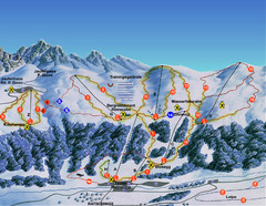
Ratschings / Racines Ski Trail Map
Trail map from Ratschings / Racines.
287 miles away
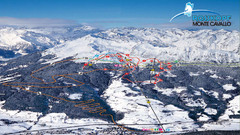
Rosskopf (Vipiteno) Ski Trail Map
Trail map from Rosskopf (Vipiteno), which provides downhill skiing. It has 4 lifts. This ski area...
287 miles away

St. Moritz Tourist Map
Tourist map of St. Moritz, Switzerland. Shows summer and winter points of interest.
288 miles away
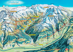
Lötschental Lauchernalp Summer Trail Map
Summer trail map of Lötschental Valley area. Shows hiking trails, towns, and mountains. The...
288 miles away
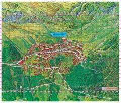
Bettmeralp Summer Map
Summer tourist map of town of Bettmeralp, Switzerland. With reference grid.
288 miles away
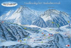
Berchtesgadener Land Ski Trail Map
Trail map from Berchtesgadener Land.
288 miles away
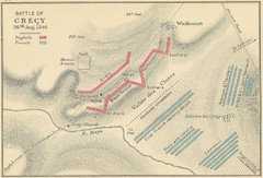
Battle of Crecy Map
Battlefield map of Crecy, France, August 28th 1346 during the Hundred Years War.
289 miles away
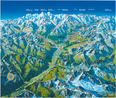
Engadin St. Moritz Region Summer Map
Summer panoramic tourist map of Engadin region of Switzerland. Includes St. Moritz, Piz Bernina...
289 miles away
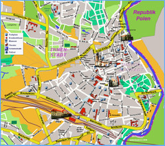
Goerlitz Tourist Map
Tourist street map of Goerlitz
289 miles away
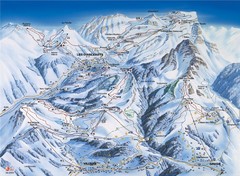
Villars-Gryon Ski Trail Map
Trail map from Villars-Gryon.
289 miles away
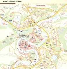
Cesky Krumlov Czech Republic Tourist Map
Tourist map of Cesky Krumlov, Czech Republic. Shows wc, buildings of historical interest and...
290 miles away
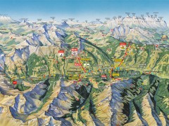
Saalbach Hinterglemm Summer Hiking Map
Summer panorama map of Saalbach and Hinterglemm Austria area. Shows trails, lifts, huts, and peaks.
290 miles away
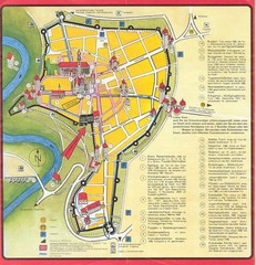
Rothenburg Tourist Map
Tourist map of town of Rothenburg
290 miles away
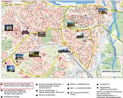
Rostock Tourist map
Tourist map of Rostock
290 miles away

Rostock Map
291 miles away
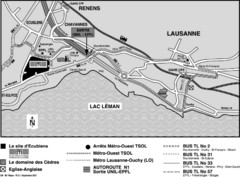
EPFL Lausanne Switzerland Map
Map of the EPFL University and bus routes from Lausanne to get there.
291 miles away

