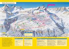
Braunwald Ski Trail Map
Trail map from Braunwald.
251 miles away
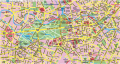
Central Berlin Street Map
Street map of central Berlin, Germany with some major building drawings. In German. Karte von...
252 miles away

Berlin HBf Map
253 miles away
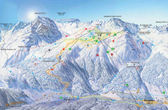
Montafon Ski Trail Map
Trail map from Montafon.
253 miles away
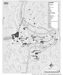
Bern Tourist Map
Tourist map of Bern, Switzerland. Shows museums, accommodations, eating, and drinking spots
253 miles away
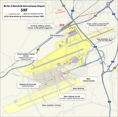
Berlin Schonefeld SXF Airport Map
253 miles away
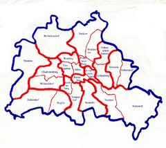
Berlin Bezirke Map
254 miles away
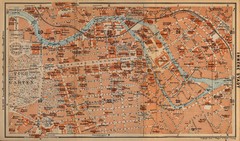
Berlin 1910 Map
254 miles away
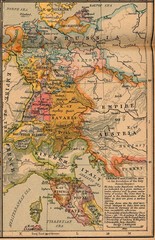
Germany Italy 1806 Map
Germany and Italy in 1806 at the dissolution of the Roman Empire
254 miles away
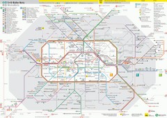
Berlin Transit Map
Guide to the S and U Bahn in Berlin
254 miles away
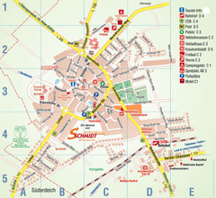
Wesselburen Tourist Map
Tourist street map of Wesselburen
254 miles away
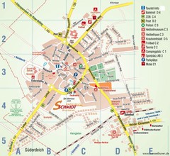
Wesselburen Tourist Map
Tourist map of Wesselburen
254 miles away
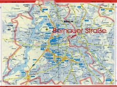
Berlin Tourist Map
254 miles away
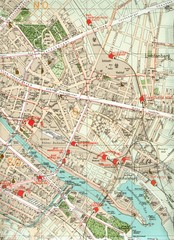
Berlin Tourist Map
254 miles away
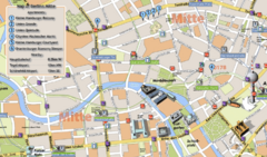
Berlin Tourist Map
254 miles away
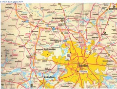
Berlin Tourist Map
254 miles away
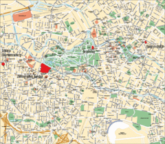
Berlin Tourist Map
254 miles away
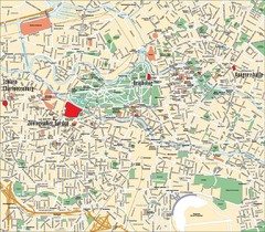
Berlin Tourist Map
Landmarks, neighborhoods and areas of Berlin
254 miles away
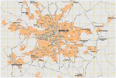
Berlin City Map
City map of Berlin Metropolitan area
254 miles away
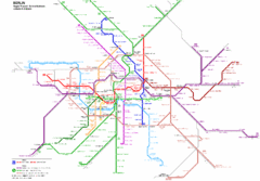
Berlin Rapid Transit Map
254 miles away
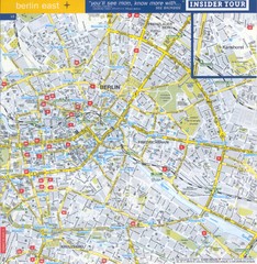
Berlin Street map - East
Street map of eastern Berlin, Germany.
254 miles away
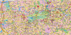
Berlin Center Map
254 miles away
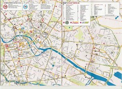
Berlin City Map
City map of Berlin with tourist information
254 miles away
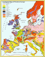
Western Europe Geology Map
Geological map of Western Europe. Modified after Kirkaldy 1967.
255 miles away
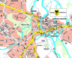
Lübben (Spreewald) Map
Street map of Lübben (Spreewald)
256 miles away
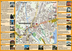
Oranienburg Tourist Map
Tourist street map of Oranienburg
257 miles away
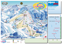
Sudelfeld Ski Trail Map
Trail map from Sudelfeld.
257 miles away
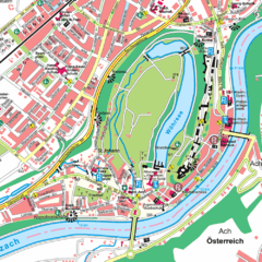
Burghausen Tourist Map
Tourist street map of Burghausen
258 miles away
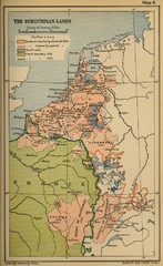
The Burgundian Lands Historical Map
258 miles away
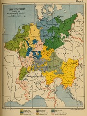
1912 Empire Historical Map
258 miles away
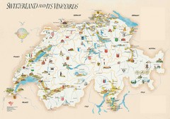
Switzerland Vineyards Map
Shows vineyards of Switzerland.
258 miles away
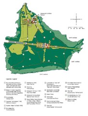
Chiemsee Island Germany Tourist Map
Tourist map of the island showing all the tourist sites.
259 miles away
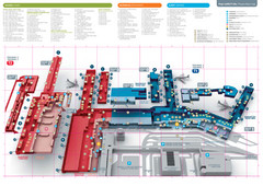
Praugue Airport Map
260 miles away
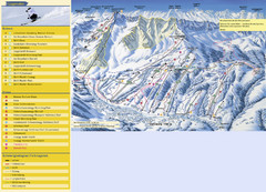
Sörenberg Ski Trail Map
Trail map from Sörenberg.
260 miles away
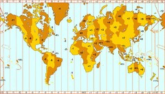
Welt Zeitzonen Map
260 miles away

Czech Republic Map
260 miles away
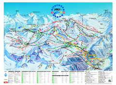
Ischgl – Galtur Ski Trail Map
Trail map from Ischgl – Galtur.
261 miles away
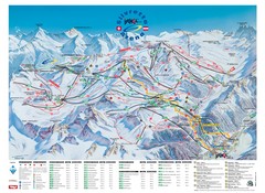
Ischgl – Galtur Ski Trail Map
Trail map from Ischgl – Galtur.
261 miles away

