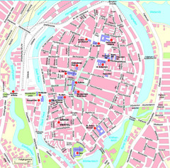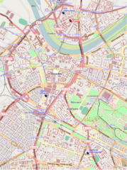
Dresden, Germany Tourist Map
Hotels in Dresden, Germany
235 miles away
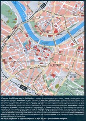
Dresden Tourist Map
Tourist map of center of Dresden, Germany. Shows major tourist attractions.
235 miles away
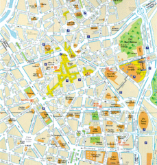
Lille Center Map
Street map of Lille city center
235 miles away
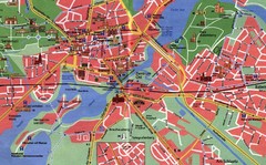
Potsdam Tourist Map
Tourist map of Potsdam
237 miles away
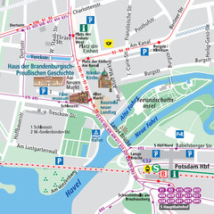
Potsdam City Center Map
Tourist map of Potsdam city center
237 miles away
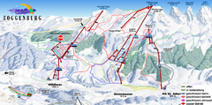
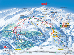
Toggenburg Ski Trail Map
Trail map from Toggenburg.
237 miles away
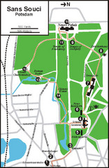
Potsdam Walking Tour Map
237 miles away
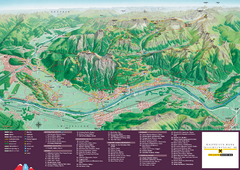
Liechtenstein Tourist Map
Tourist map of the country of Liechtenstein. Panoramic view shows all towns, trails, and mountains.
240 miles away
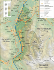
Liechtenstein topography Map
240 miles away
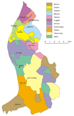
Liechtenstein Tourist Map
240 miles away
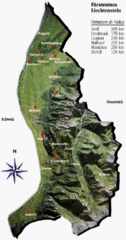
Liechtenstein Tourist Map
240 miles away
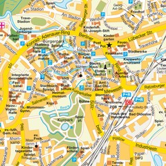
Bad Oldeshloe Map
Street map of downtown Bad Oldeshloe
240 miles away
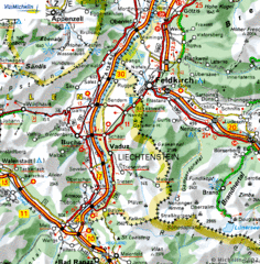
Liechtenstein road Map
240 miles away
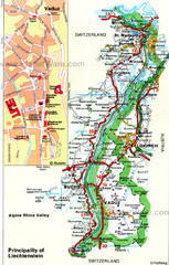
Liechtenstein Principality Map
241 miles away
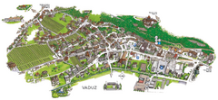
Vaduz Town Map
Tourist map of town of Vaduz, Liechtenstein. Panoramic view shows buildings and streets.
241 miles away
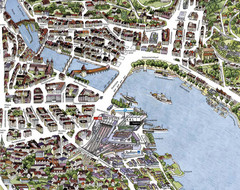
Lucerne Tourist Map
Tourist map of central Lucerne, Switzerland. 3D view showing buildings.
242 miles away
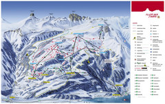
Flumserberg Ski Trail Map
Trail map from Flumserberg.
242 miles away
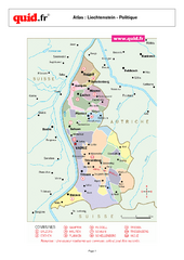
Liechtenstein Regional Map
Country map with detail of regional divides
242 miles away
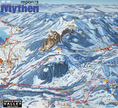
Brunni-Alpthal Ski Trail Map
Trail map from Brunni-Alpthal.
243 miles away
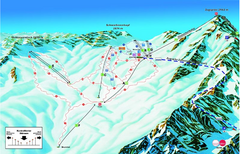
Garmisch Partenkirchen Ski Trail Map
Trail map from Garmisch Partenkirchen.
244 miles away
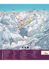
Malbun Ski Trail Map
Ski trail map of area surrounding Malbun, Liechtenstein. Also shows walking routes.
245 miles away
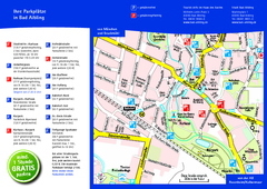
Bad Aibling Tourist Map
Tourist parking map of downtown Bad Aibling
247 miles away
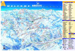
St Anton Region Ski map
Panoramic ski map covers St. Anton, St. Christoph, St. Jakob, Stuben, Zurs, Zug, Lech, and Oberlech...
247 miles away
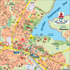
Bad Segeberg Tourist Map
Tourist street map of bad Segeberg
247 miles away

Opfer des Nationalsozialismus in Dithmarschen Map
248 miles away
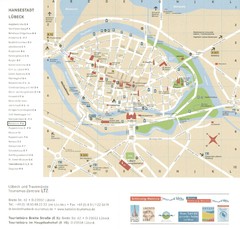
Luebeck Tourist Map
Street tourist map of city center
249 miles away
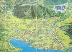
Rottach Egern Map
249 miles away
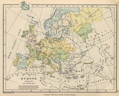
Europe 15th Century Colbeck Map
Europe during the 15th Century
249 miles away
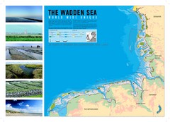
Wadden Sea Map
Map of Wadden Sea area and trilateral conservation area. Consists of lands and waters in The...
250 miles away
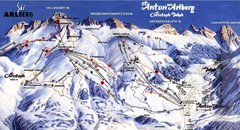
Arlberg – St Anton Ski Trail Map
Trail map from Arlberg – St Anton.
250 miles away
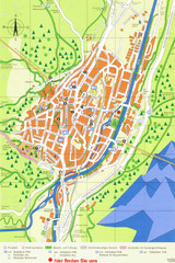
Mittenwald Tourist Map
Tourist street map
251 miles away
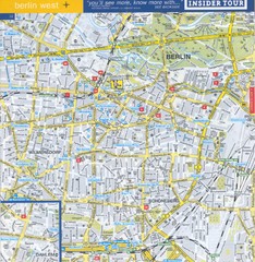
Berlin Street Map - West
Street map of western Berlin, Germany.
251 miles away
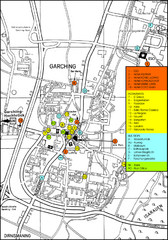
Garching Map
Map of Garching, a suburb to the north of Munich, with hotels, restaurants and bus stops marked.
251 miles away
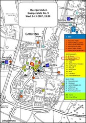
Map of the city of Garching, Germany
General visitor information including the locations of restaurants, hotels, bus stops and more.
251 miles away
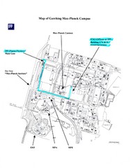
Garching Max-Planck Campus Map
Map of the Max-Planch Campus in Garching, Germany. Includes information on Accommodation and...
251 miles away

