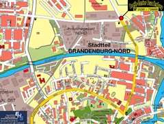
Brandenburg an der Havel Map
Street map of Brandenburg an der Havel center
220 miles away
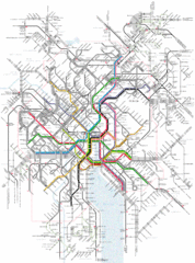
Zurich Tram Map
Map of tram system for Zurich and surrounding areas
220 miles away
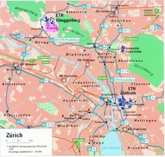
Zurich City Map
City map of Zurich with university highlighted
220 miles away
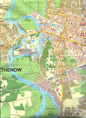
Rathenow Map
Street map of town of Rathenow
220 miles away
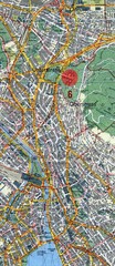
Zurich, Switzerland Tourist Map
220 miles away
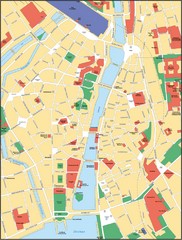
Zurich, Switzerland Tourist Map
220 miles away
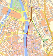
Zurich, Switzerland Tourist Map
220 miles away
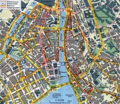
Zurich, Switzerland Tourist Map
220 miles away
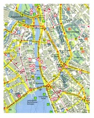
Zurich, Switzerland Tourist Map
220 miles away
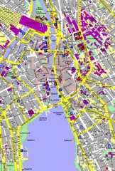
Zurich, Switzerland Tourist Map
220 miles away
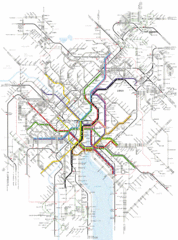
Zurich Transit Map
Map of transit routes throughout Zurich
220 miles away
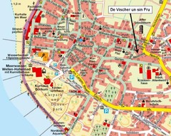
Borkum Street Map
Street map of town of Borkum
223 miles away

Europe Political Map
223 miles away
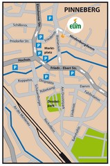
Pinneberg Center Map
Map of Pinneberg town center
223 miles away
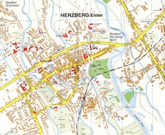
Herzberg (Elster) Map
Street map of Herzberg
223 miles away
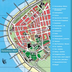
Norderney Tourist Map
Tourist street map of Norderney
225 miles away
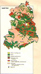
East Germany Land Use Map
Map of East Germany's land use
225 miles away
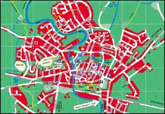
Otterndorf Map
Street map of Otterndorf
226 miles away
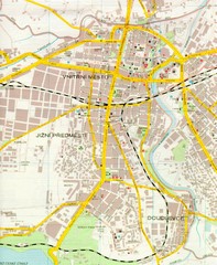
Plzen City Map
City map of Plzen, Czech Republic. Scanned.
226 miles away
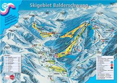
Balderschwang Balderschwang Ski Trail Map
Trail map from Balderschwang.
227 miles away
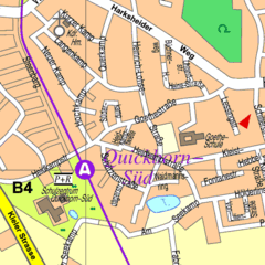
Quickborn Center Map
Street map of Quickborn town center
228 miles away
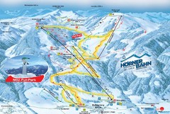
Bolsterlang Ski Trail Map
Trail map from Bolsterlang.
229 miles away
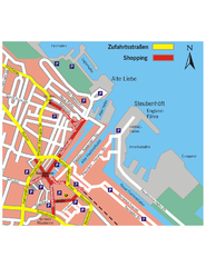
Cuxhaven Center Tourist Map
Tourist map of Cuxhaven center
230 miles away
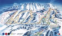
Oberjoch-Unterjoch Ski Trail Map
Trail map from Oberjoch.
231 miles away
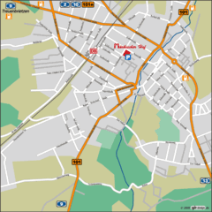
Luckenwalde Map
Street map of Luckenwalde
231 miles away
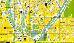
South Bruges Map
Map of the southern part of Bruges city
231 miles away
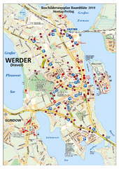
Werder (Havel) Tourist Map
Tourist map of Werder (Havel)
231 miles away
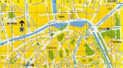
North Bruges Map
Map of northern part of Bruges city
231 miles away
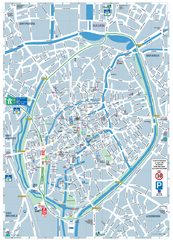
Brugge Tourist Map
Tourist map of Brugges, Belgium. Shows buildings and streets.
231 miles away
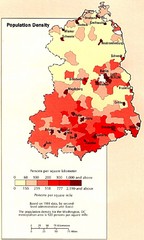
Eastern Germany Population Density Map
Map of Eastern Germany's population density
232 miles away
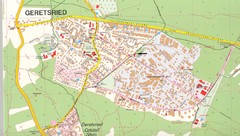
Geretsried Map
Street map of Geretsried
232 miles away
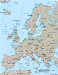
Europe Physical Map
232 miles away
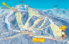
Arber Ski Trail Map
Trail map from Arber.
232 miles away
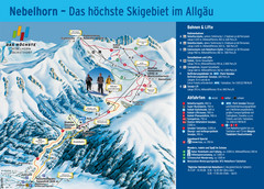
Oberstdorf Ski Trail Map
Trail map from Oberstdorf.
233 miles away
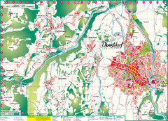
Oberstdorf City Map
City map of Oberstdorf, Germany and surrounding area. Shows buildings and ski lifts. In German.
233 miles away
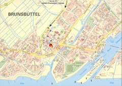
Brunsbüttel Map
Street map of Brunsbüttel and surrounding region
233 miles away
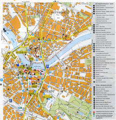
Drezden Center Map
235 miles away
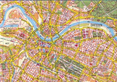
Drezden Map
235 miles away

