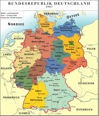
Deutschland Map
205 miles away
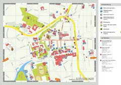
Aurich Tourist Map
Aurich tourist street map
206 miles away
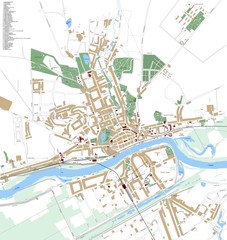
Landsberg Map
Street map of city of Landsberg
206 miles away
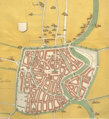
Haarlem City Map
Haarlem city center map from 1550
206 miles away
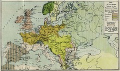
Extinction of France Map 1918
Shows pan-German scheme for the Extinction of France, 1918. As given in "Frankreich's...
207 miles away
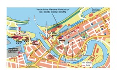
Bremerhaven City Map
City map of central Bremerhaven, Germany. Alfred Wegener Institute for Polar and Marine Research...
207 miles away
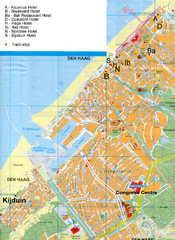
The Hague Hotel Map
Hotel map of The Hague, Netherlands. Shows tram stops. Congress centre highlighted.
207 miles away
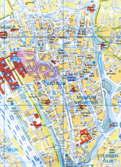
Utrecht, Netherlands Tourist Map
207 miles away
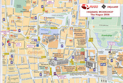
Den Haag, Netherlands Tourist Map
207 miles away
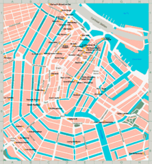
Den Haag, Netherlands Tourist Map
207 miles away
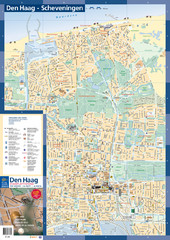
The Hague Tourist Map
Tourist map of The Hague, Netherlands. Shows points of interest.
208 miles away

Weil am Rhein Tourist Map
Tourist street map of Weil am Rhein
208 miles away
Ghent City Map
City map of Ghent with attractiosn
208 miles away
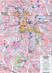
Ghent Walking Tour Map
Tourist and walking tour map of Ghent, Belgium. Shows points of interest.
208 miles away
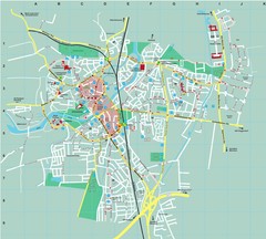
Dachau City Map
City street map of Dachau
209 miles away
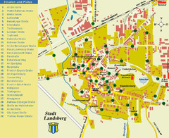
Landsberg Tourist Map
tourist map of town of Landsberg
209 miles away
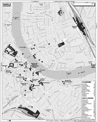
Basel Tourist Map
Tourist map of Basel, Switzerland. Shows museums, accommodations, eating, and drinking spots
210 miles away
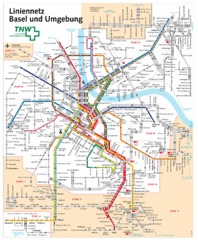
Basel Light Rail and Bus Map
210 miles away
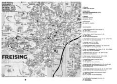
Freising City Map
211 miles away
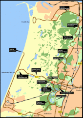
Nationaal Park Zuid-Kennemerland Map
Park overview map of Zuid-Kennemerland National Park (NPZK), Netherlands
211 miles away

Winterthur City Map
212 miles away
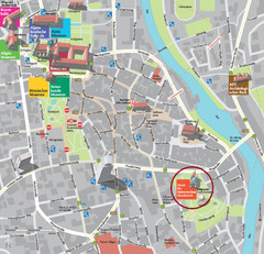
Kempten im Allgäu Tourist Map
Tourist street map of Kempten im Allgäu
213 miles away
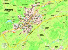
Lindenberg im Allgäu Map
Street map of Lindenberg
214 miles away
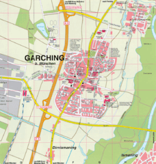
Garching bei München Map
Street map of Garching bei München
216 miles away
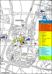
Garching Tourist Map
Tourist map of Garching bei Munchen, Germany. Shows hotels, restaurants and the most important bus...
216 miles away
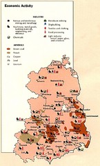
East Germany Economic Activity Map
Map of East Germany's economic activity
218 miles away
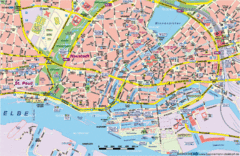
Hamburg Street Map
Street map of central Hamburg, Germany. Shows many canals.
218 miles away
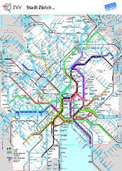
Zurich Metro Map
Official metro map from ZVV. Shows lines in central Zurich, Switzerland.
219 miles away
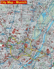
Munich City Map
City map of Munich, Germany
219 miles away
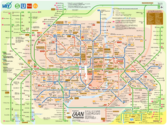
Munich Public Transportation Map
219 miles away
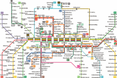
Munich Metro Map
Metro map of Munich, Germany. In German.
219 miles away
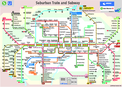
Munich public transportation system Map
This MVV network map, probably the best known one, shows all lines and stops for the urban rail and...
219 miles away
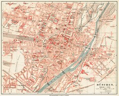
Munich Map
219 miles away
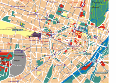
Munich Tourist Map
Tourist map of central Munich (München), Germany.
219 miles away
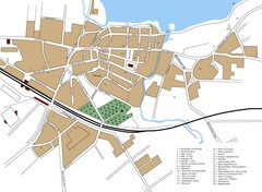
Woldenberg Map
Street map of city of Woldenberg
219 miles away

